Newfoundland’s Lighthouse Route – Part II

In my first post from Newfoundland and Labrador I hoped to convince readers entering the province by ferry at Port aux Basques as most tourists do, not to simply drive to the well known attractions of Gros Morne, but to spend some time exploring southwest Newfoundland by way of Newfoundland’s Lighthouse Route. In this post we’ll travel in the opposite direction from Port aux Basques than we did in the first post, heading north on the Trans-Canada Highway with stops at Cape Ray, the Codroy Valley and Cape Anguille before ending the day in Stephenville. Please come along for the ride.
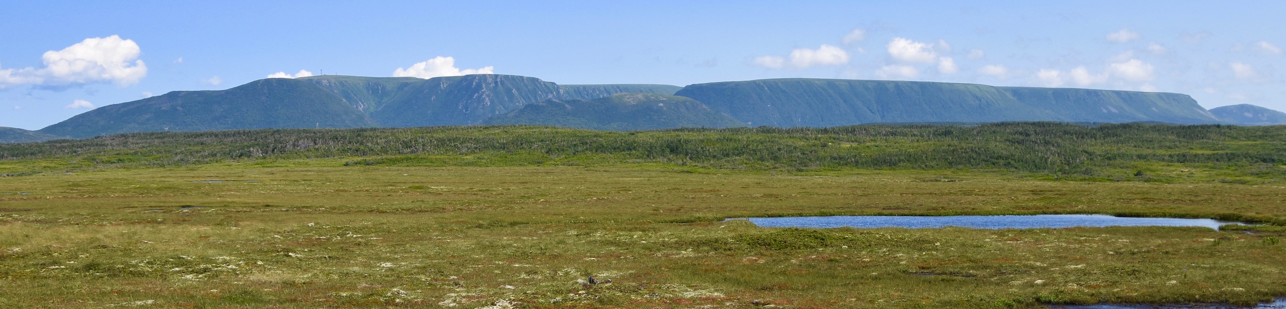
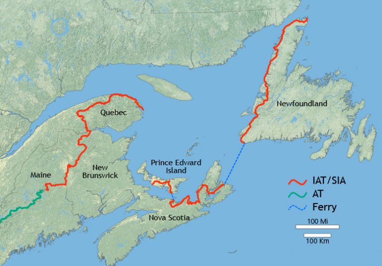
The first thing you will notice upon leaving Port aux Basques is this huge geomorphic structure that is Table Mountain. It is the start of the Long Range Mountains that run the entire length of western Newfoundland all the way up to the tip of the Great Northern Peninsula. These mountains will be your constant companion the entire time you spend in this area of the province. They are in fact the final segment of the Appalachian Mountains that run from Georgia all the way up to the Gaspe peninsula and over to the Cape Breton highlands before disappearing under the Cabot Strait and reappearing in Newfoundland. The Appalachian Trail is arguably the world’s most famous long distance pathway and contrary to what you might think, it does not terminate at Mount Katadhin in Maine, but continues as the International Appalachian Trail all the way to the very tip of western Newfoundland.
Not surprisingly, the Long Range Mountains are a magnet for serious hikers and you can take a timeout from exploring Newfoundland’s Lighthouse Route by hiking the Starlight Trail that will take you to the top of the Long Range Mountains for fabulous views of the Codroy Valley. While we did not have time to hike this reasonably moderate trail on this trip, it is definitely something on the list for the next trip. You will find the trailhead directly off the Trans-Canada Highway near the small community of Doyles. But I’m getting ahead of myself. There’s lots to see before we get to Doyles.
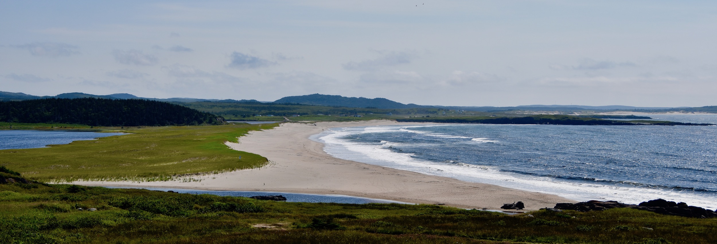
In the first post we saw the Channel Head lighthouse on entering Port aux Basques harbour and then drove to Rose Blanche on the southwest coast to visit the amazing lighthouse there. On this portion of Newfoundland’s Lighthouse Route we’ll be looking for two more lighthouses starting with Cape Ray which is on Highway 408 only minutes north of Port aux Basques. The one thing most people probably don’t association with Newfoundland and Labrador are great beaches. That would be a mistake. Western Newfoundland has many great beaches of all types.
This is Cape Ray Beach in J.T.Cheeseman Provincial Park which is just ten kilometres (6.2 miles) from the Port aux Basques ferry terminal. Now that’s a beautiful beach by anyone’s definition and as you can see, it’s practically yours to stroll, beach comb or swim by yourself. If you are camping this is the perfect place to spend your first night in Newfoundland and Labrador.
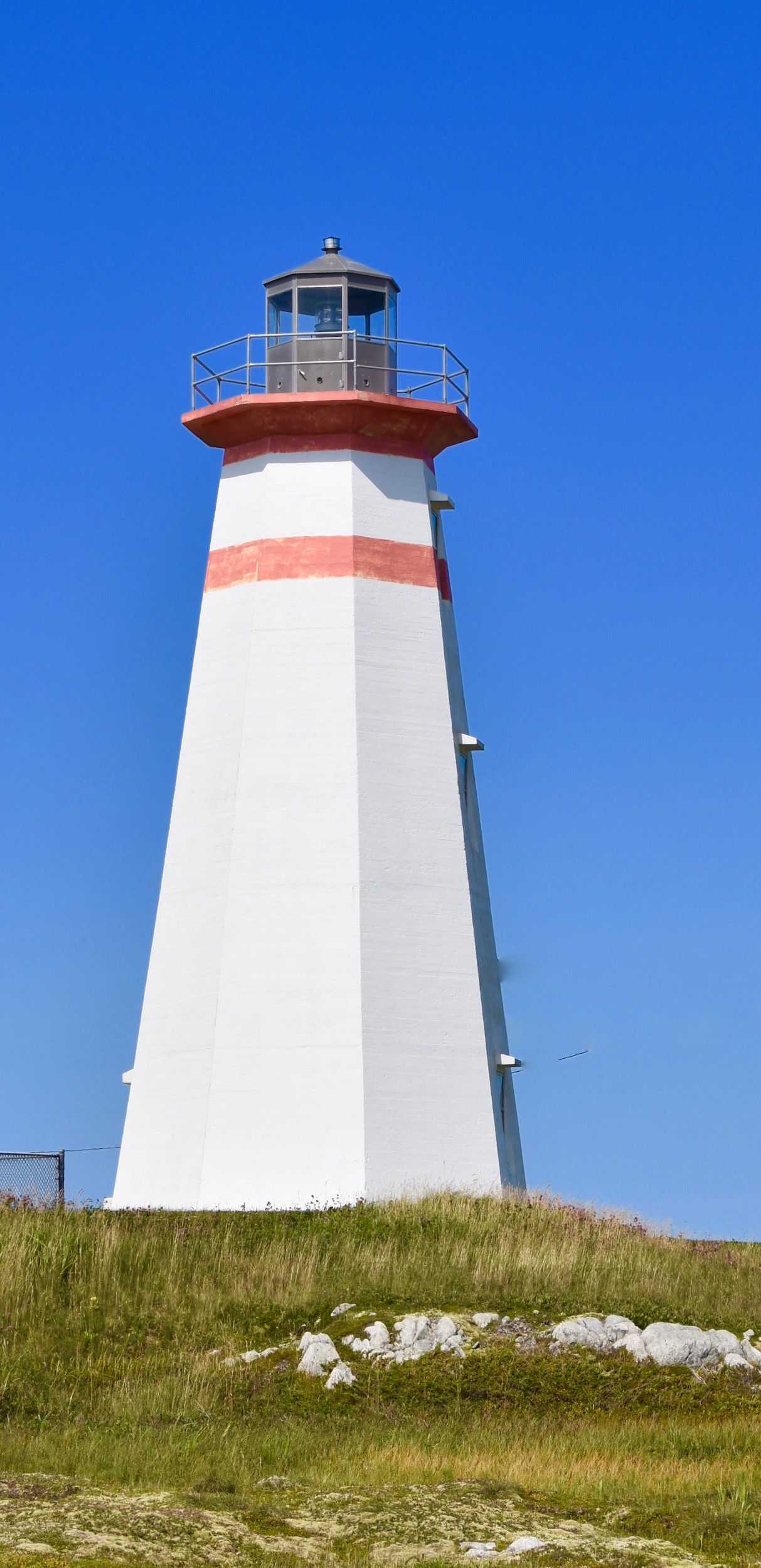
Further down the road is the Cape Ray lighthouse which, while no Rose Blanche, is still impressive. It’s a Canadian Heritage Lighthouse that dates from 1960 although the first light here was constructed in 1871. Cape Ray is the southernmost point of land on the island of Newfoundland and the closest to mainland Canada. That distinction has made Cape Ray an important communications site. In 1856 an undersea telegraph cable was laid between here and Cape North, Nova Scotia and later a Marconi wireless station. Today it is the site of the Newfoundland end of the Maritime Link that will bring Newfoundland and Labrador hydro power to North America without having to go through Quebec.
Returning to the Trans-Canada Highway it is only a short distance to the turnoff for the Codroy Valley on Route 408. At one time the Codroy Valley was the primary agricultural area in the entire province. Just like you don’t think of Newfoundland and beaches, you don’t think of Newfoundland and farms, but they do exist in this bucolic little part of the province. The amount of produce grown has diminished since the ferry service began, but you can still see dairy farms in the Codroy Valley which has the mildest climate in Newfoundland and Labrador. The Grand Codroy River is known as one of the best salmon rivers in Newfoundland and I was very heartened to hear from people I spoke to during our trip that the wild Atlantic salmon population in Newfoundland and Labrador rivers seems to be increasing. While all Atlantic salmon fishing in the Maritime provinces is catch and release, in the Grand Codroy and many other Class 4 rivers of Newfoundland and Labrador you can actually keep two fish. Trust me, there is nothing more tasty than a wild caught Atlantic salmon. The farm raised versions are pathetic compared to these true oceanic denizens.
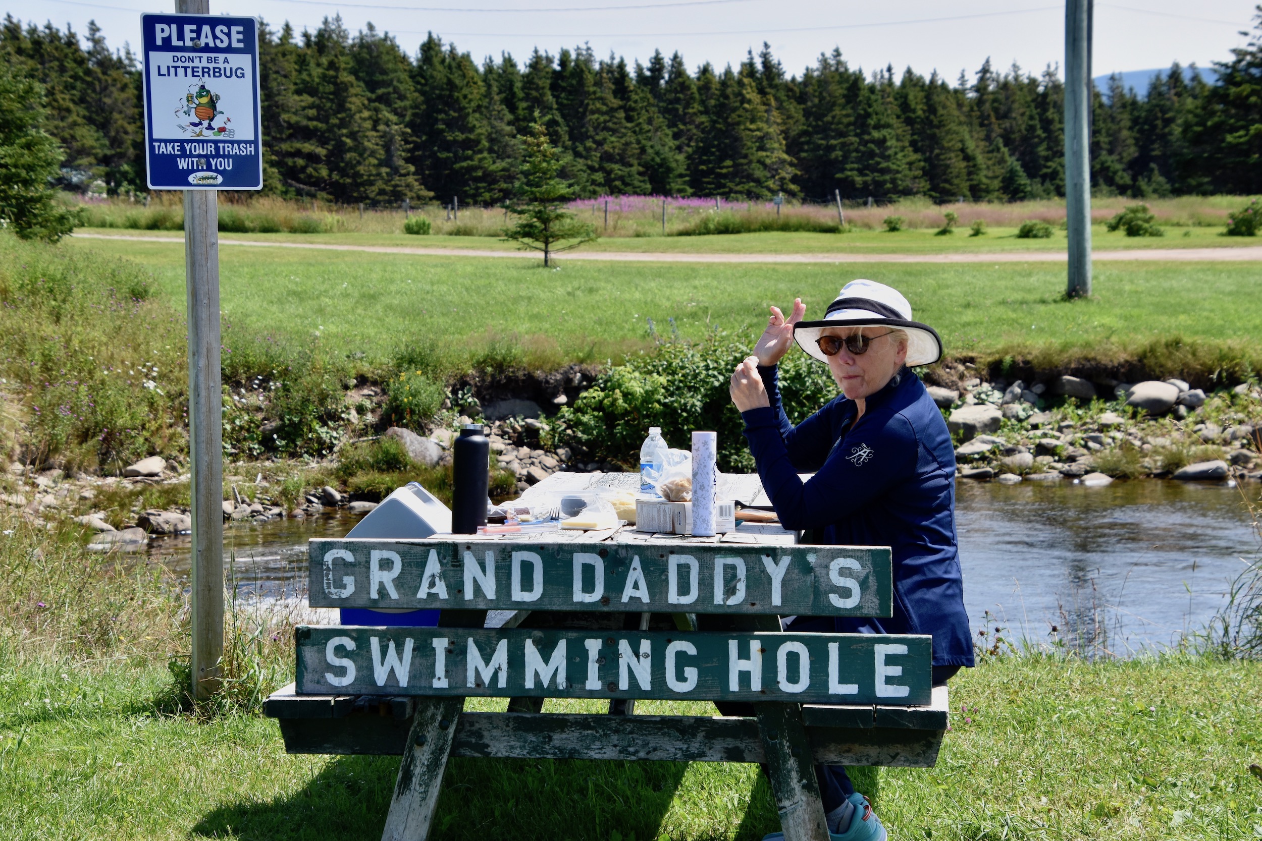
We arrived in the small community of Millville around noon, just in time to enjoy a picnic lunch at Grand Daddy’s Swimming Hole
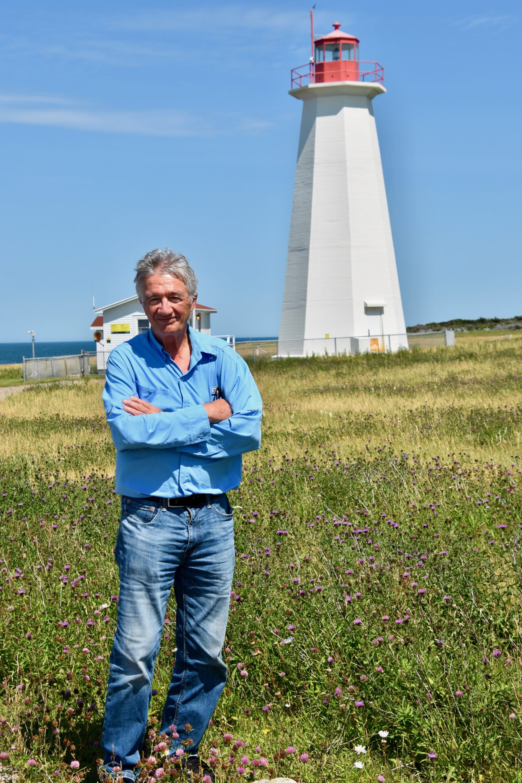
After lunch we continued on Newfoundland’s Lighthouse Route a short distance to Cape Anguille where we came upon the last of the four lighthouses. Cape Anguille lighthouse sits on the westernmost point of the island of Newfoundland and like Cape Ray, dates from 1960, having replaced an older light built in 1908. It’s a fine looking specimen and is also an official Heritage Lighthouse which means that it will not be allowed to fall into disrepair as so many of our Canadian lighthouses have since being demanned. This light had an onsite keeper right up until 2020.
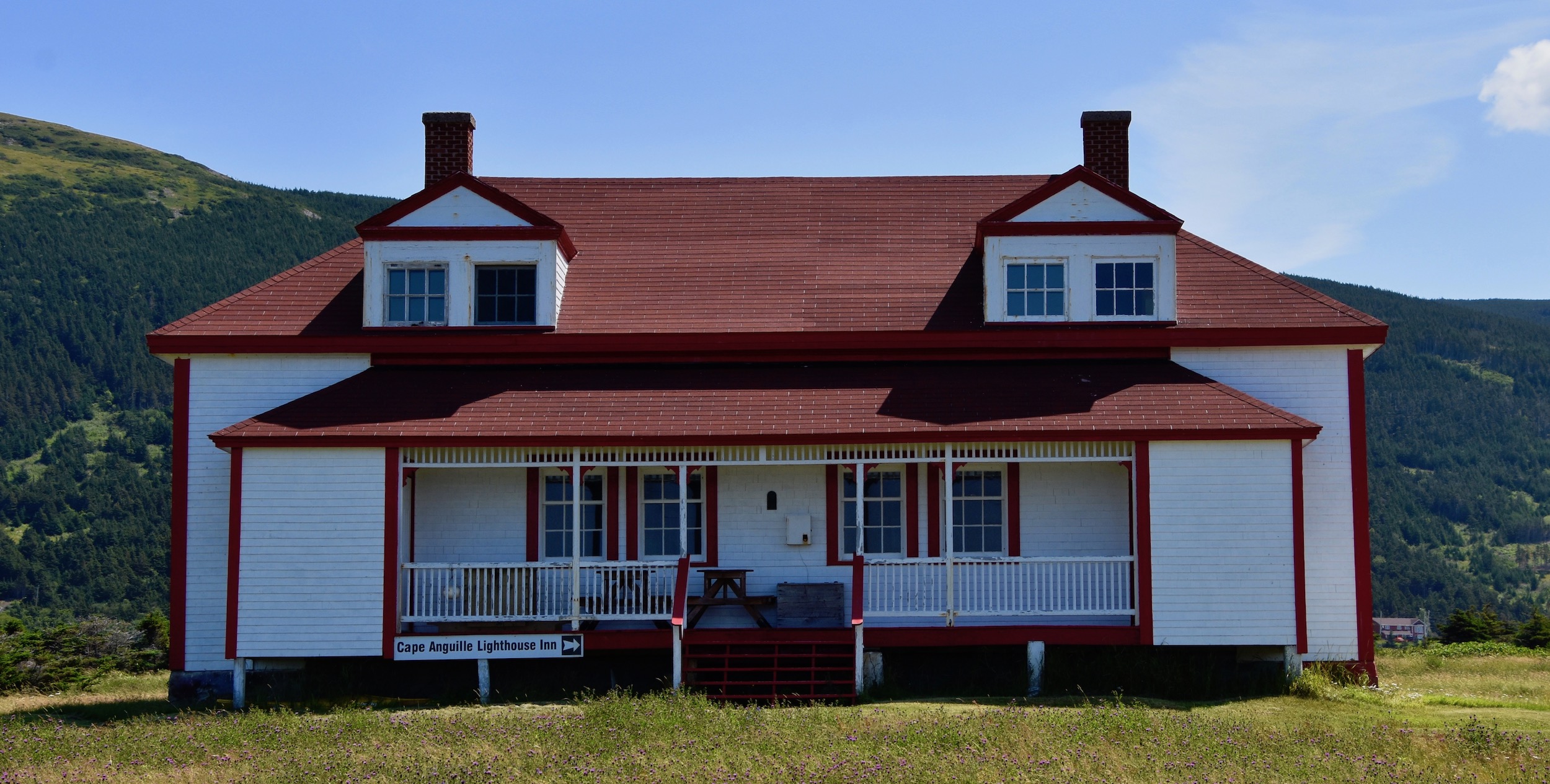
In addition to the lighthouse, the lighthouse keeper’s house has been preserved and is now an inn in one of the most scenic locations one can imagine. Unfortunately due to Covid it did not open in 2021, but when it does if you are looking for solitude and a place get away from it all then the Cape Anguille Lighthouse Inn should fit the bill perfectly.
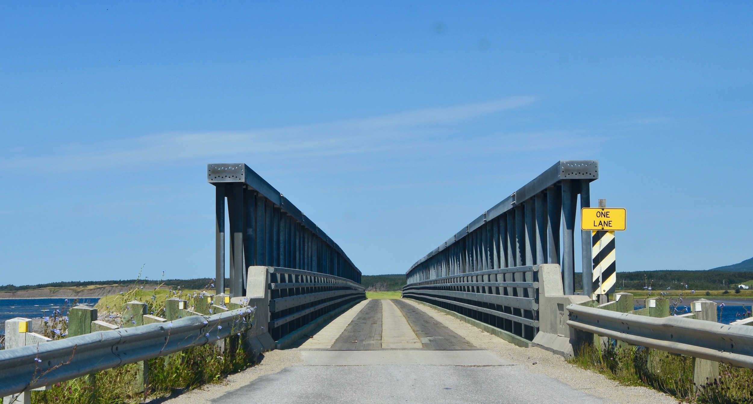
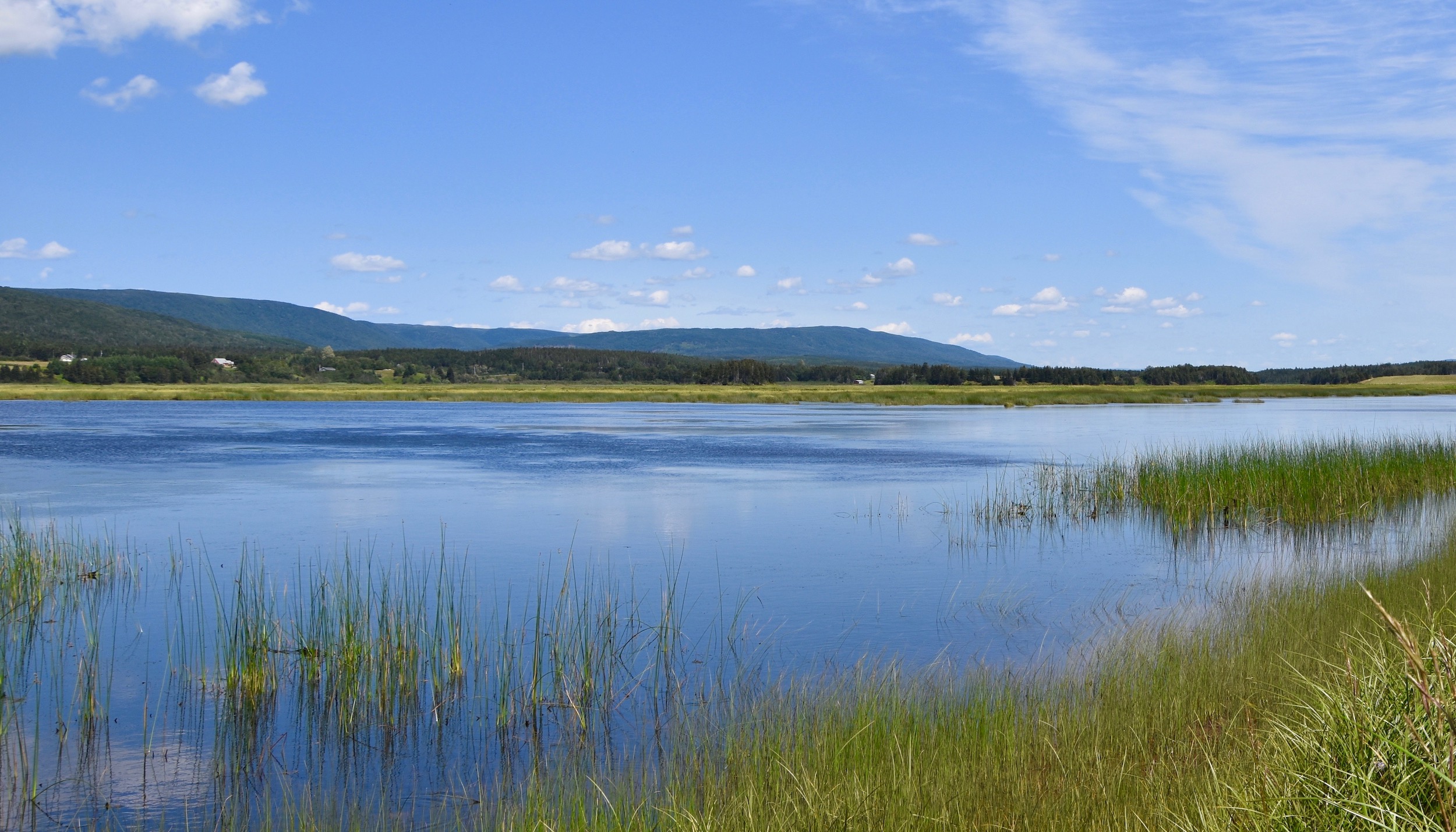
You need to retrace your steps a bit as Cape Anguille is at the end of Route 406. Near where 406 meets the Trans-Canada Highway you’ll find the final attraction we visited on Newfoundland’s Lighthouse Route, the Codroy Valley Wetland Centre. If you are a birder, as we are, this is a must stop destination. The estuary of the Grand Codroy River is one of 37 RAMSAR sites in Canada which means it contains wetlands of international importance as designated by the Convention on Wetlands.
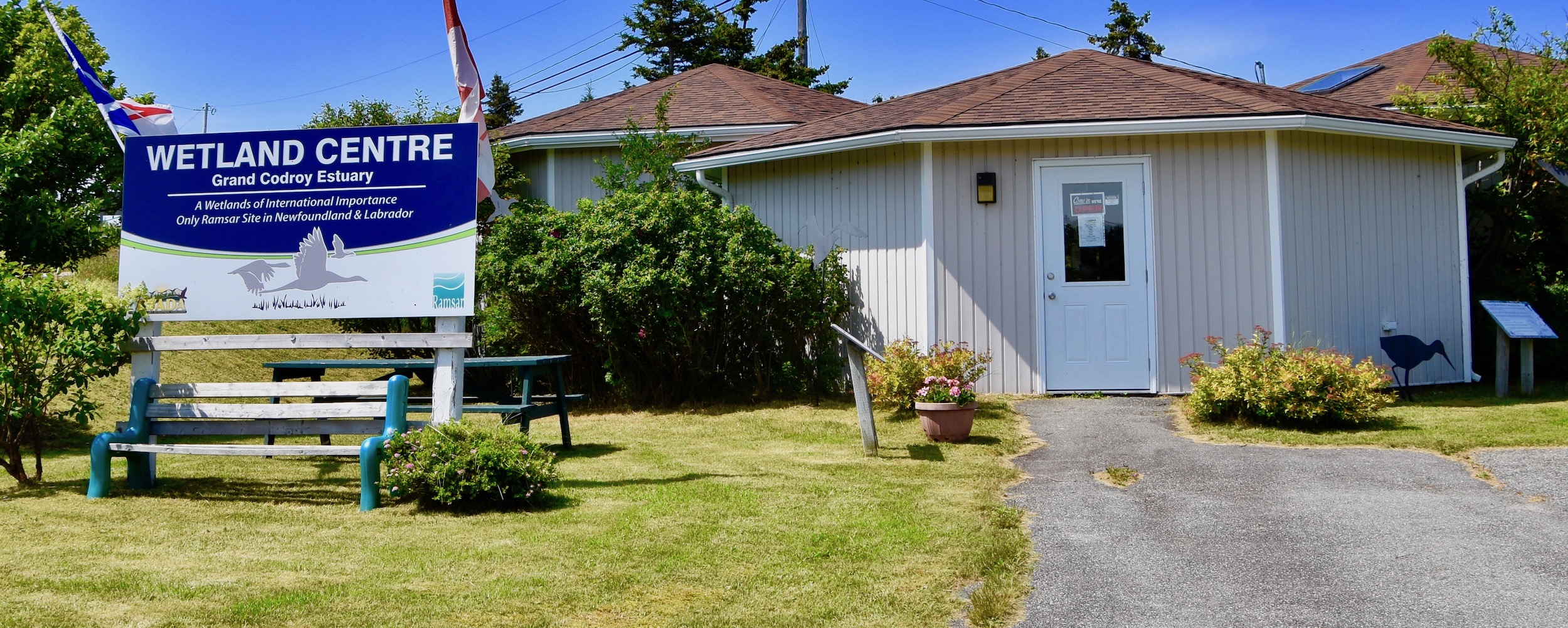
Inside the kiosk you will see some of the many species that birders can find in the area. This is the view from just beside the kiosk.
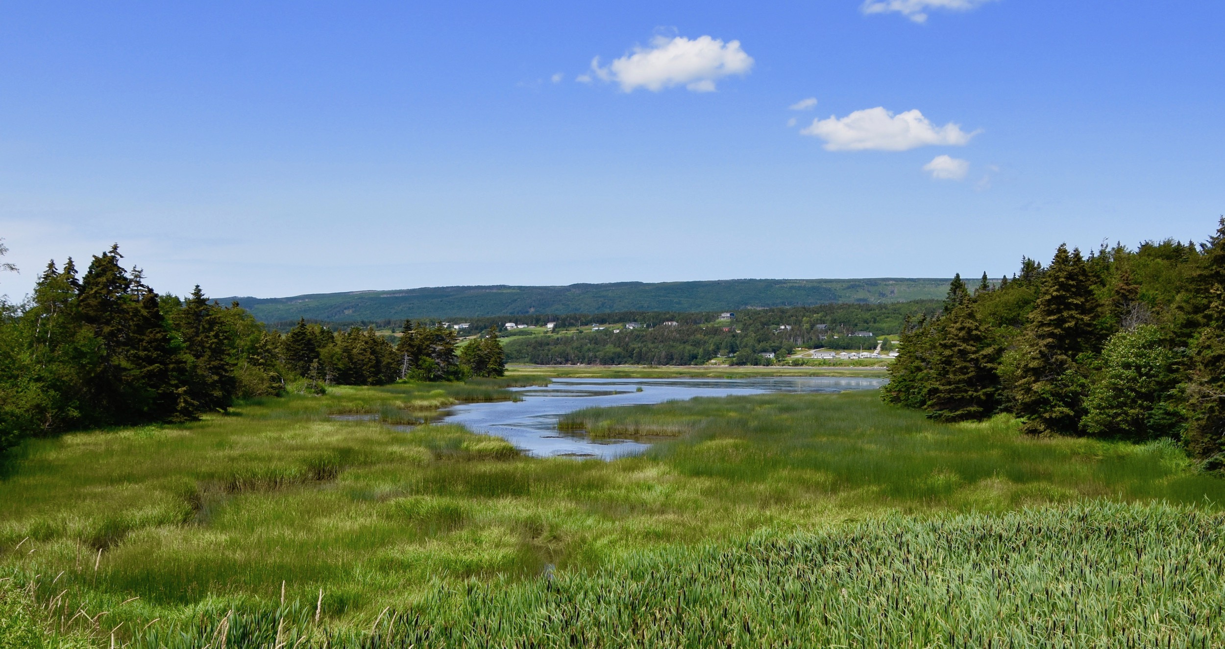
Just across the road there is a trail which leads to several places that you can observe the estuary closer up. Be sure to bring your binoculars.
This concludes our tour of Newfoundland’s Lighthouse Route, but only the start of our Newfoundland and Labrador adventures. Join us on the next post as we explore the French Shore of Newfoundland on the Port au Port Peninsula.