The Tablelands – Walking on the Earth’s Mantle
In the previous post I did a mile high overview of what to expect from a visit to UNESCO World Heritage Site Gros Morne National Park. In this post I’ll get into the specifics of a number of the park highlights that can be found on the south side of Bonne Bay, most notably the Tablelands which, in a place world famous for its complex geology, stand out as truly unique. But before heading to the Tablelands trail we’ll visit the Discovery Centre to learn what everyone should know about what the Tablelands actually are and why they are so important geologically. Then we’ll hike to the top of Partridgeberry Hill on the Lookout Hills Trail for a grand view of the Tablelands, Bonne Bay, Gros Morne mountain and the Lookout Hills. To end the day’s exploration we’ll walk the Tablelands Trail as far as Winter House Brook Canyon. Please join Alison and me on what should be a fascinating day in Gros Morne.
The Discovery Centre
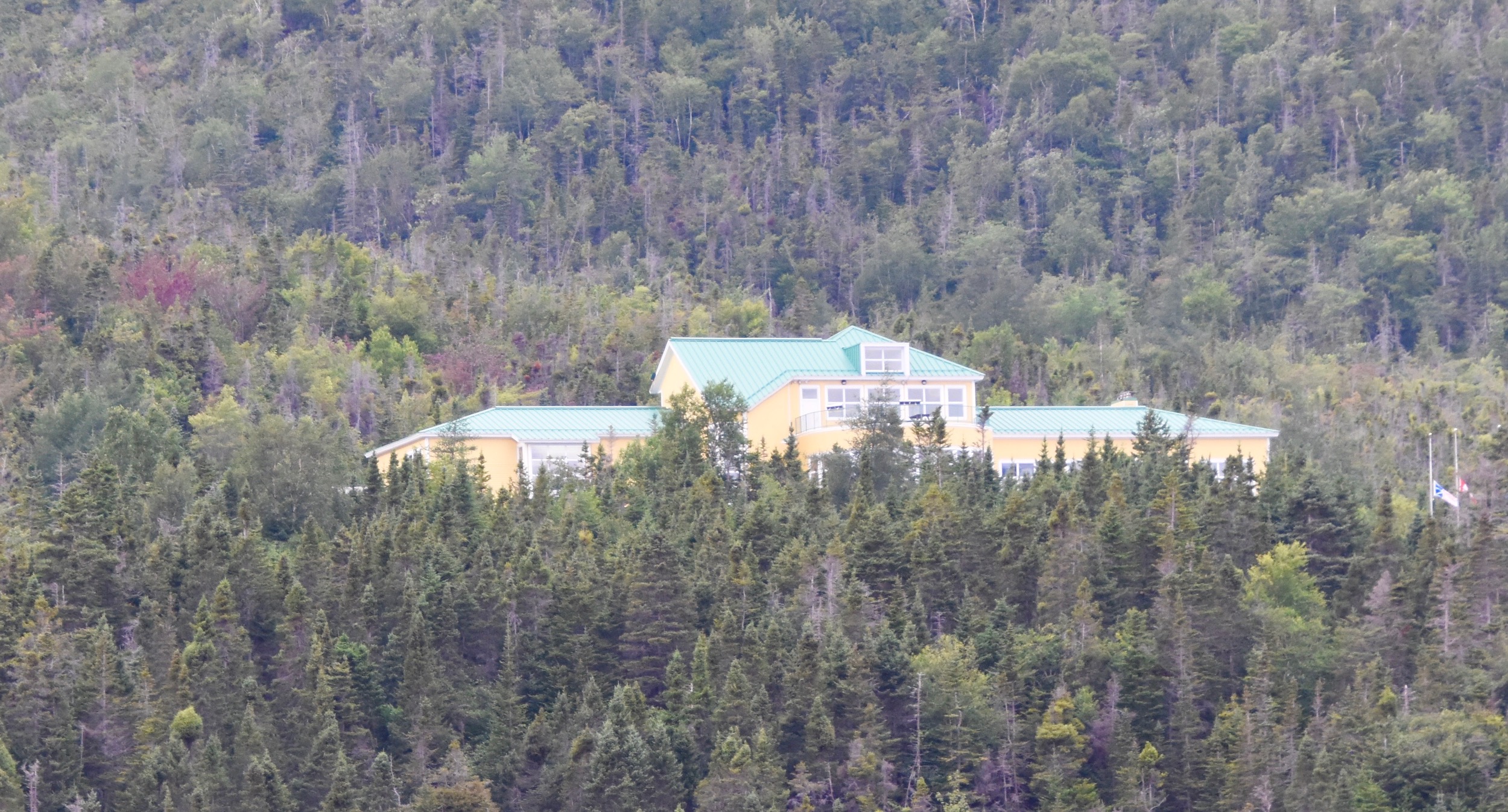
The starting point for any visit to Gros Morne is the Discovery Centre in Woody Point. It is not to be confused with the Visitor Centre which is located on the north side of Bonne Bay outside Rocky Harbour. The latter is much older and has largely been supplanted by the Discovery Centre in terms of being a source of reference for what the park is all about.
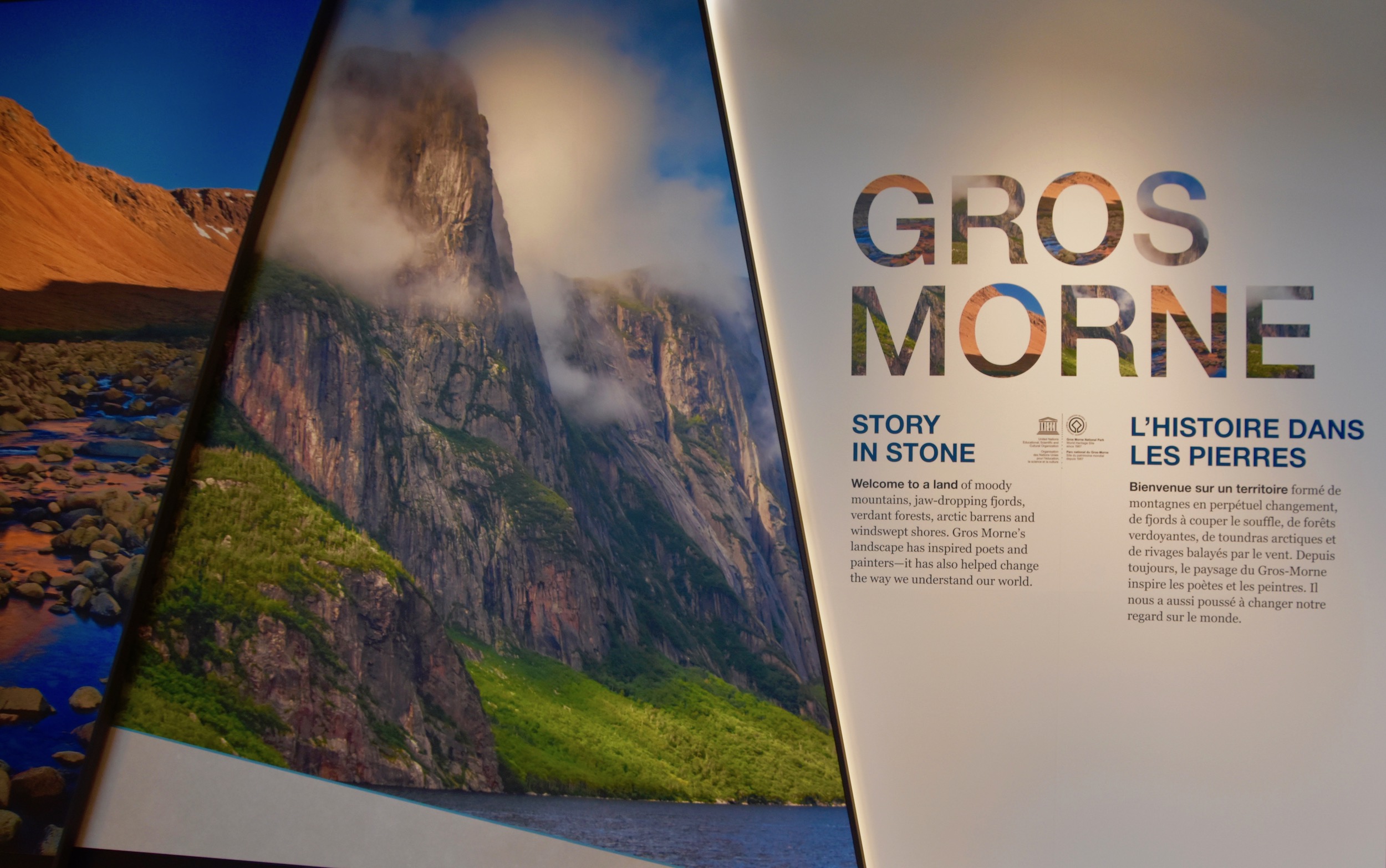
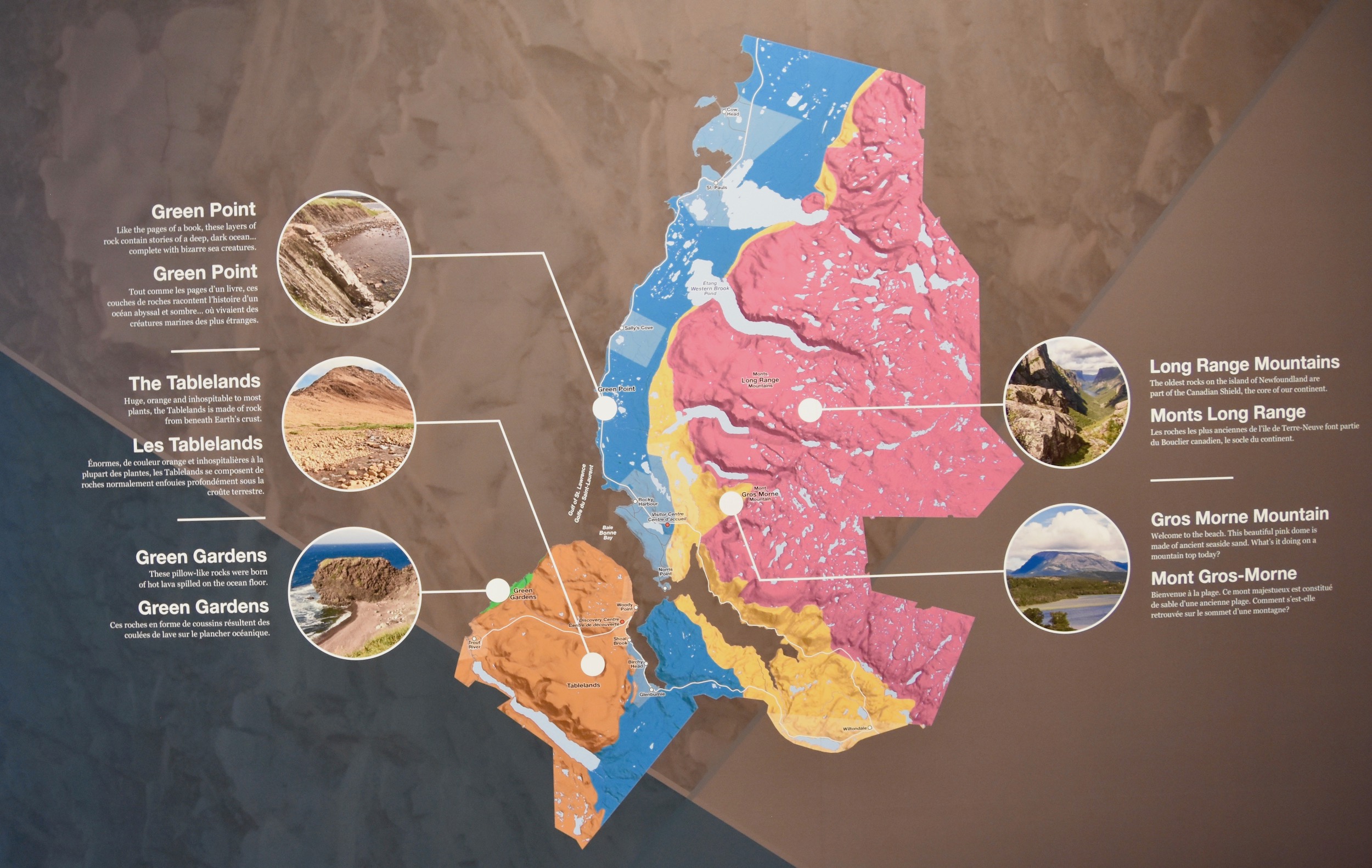
The exhibit Story in Stone is a must visit as it explains the five distinct geological formations of Gros Morne. It also explains that the Tablelands is not your typical geological formation, but rather an actual chunk of the earth’s upper mantle which is the layer of the planet that lies hundreds of kilometres below the crust.
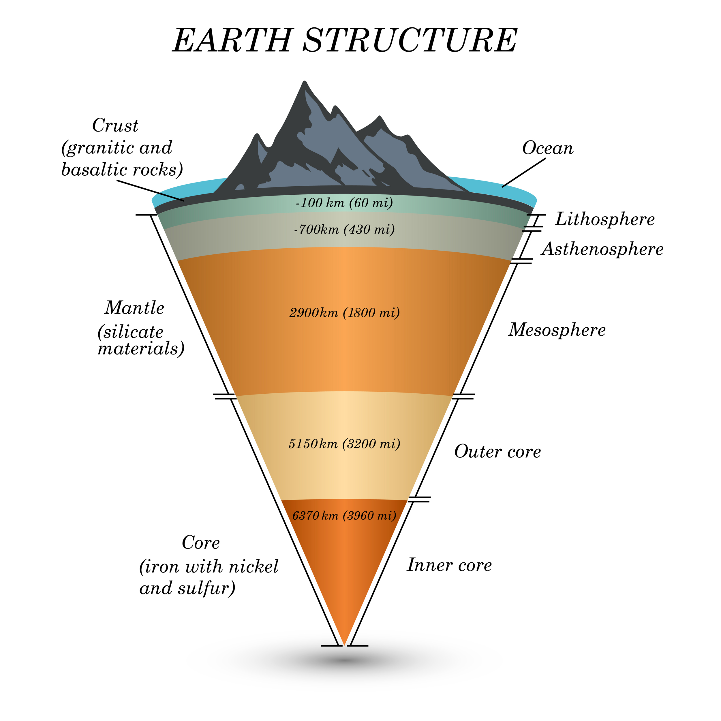
This is a diagram of the various layers that make up our planet and raises the obvious question – how the heck did a piece of the mantle end up protruding through the crust so far above it? The answer was not known definitively until the 1960’s when Canadian geologist John Tuzo Wilson, using the Tablelands as part of this thesis, established the scientific evidence for plate tectonics. Without getting too technical, the Tablelands are an extremely rare example of a portion of the mantle being pushed upward when two tectonic plates crashed into each other hundreds of millions years ago. Crash might seem a bit of an exaggeration considering that the collisions take place at two to fifteen centimetres a year (one to six inches), but in geologic time this is a head on smash up, that in the case of eastern North America, created the Appalachian Mountains of which the Long Range Mountains of western Newfoundland are part. It is surmised that it took another hundred million years or so for the rocks above the Tablelands to erode away and with the help of the glaciers from the Ice Ages, reveal the Martian like landscape that we will visit later today. Nowhere else on earth is the mantle exposed to such a degree and as accessible as the here in Gros Morne as explained in this BBC Travel story.
In addition to the explanation of the Tablelands, the Story in Stone will familiarize the visitor with the four other geologic regions that make Gros Morne so fascinating to geologists, geomorphologists and ordinary people who love beautiful landscapes.
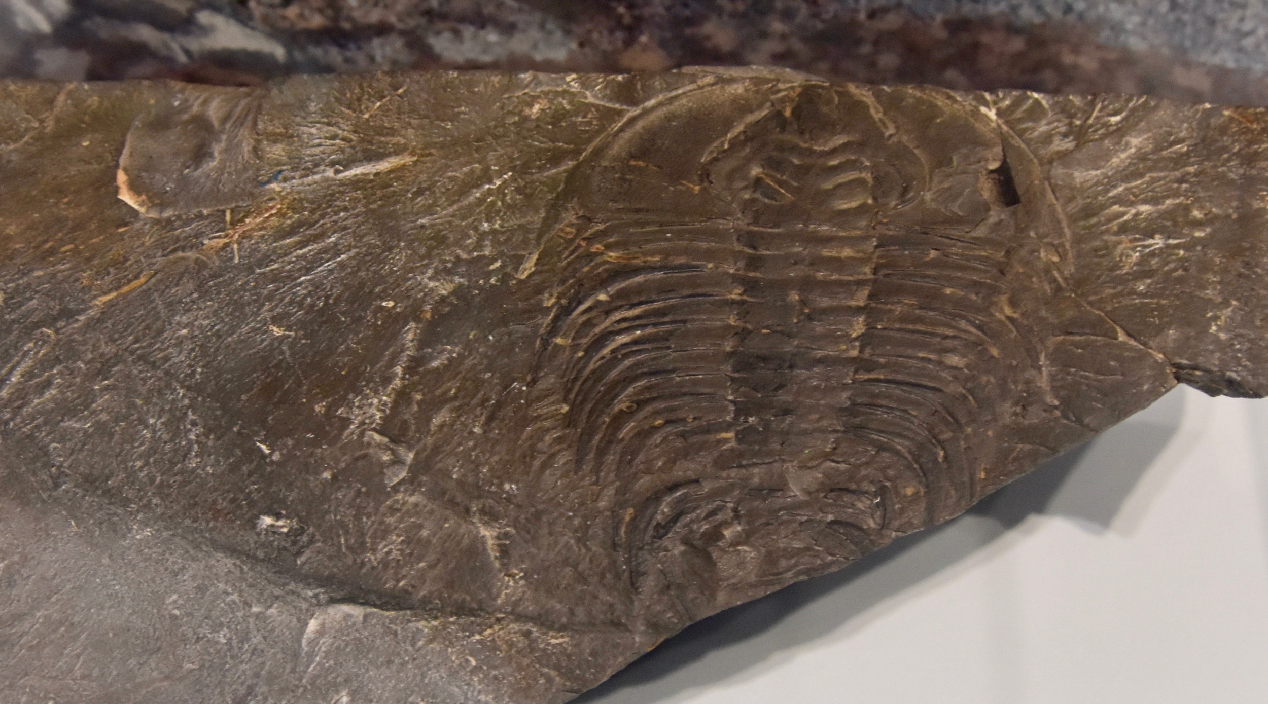
You will also learn that portions of Gros Morne that today appears as hills were once part of an ancient sea bed which explains why fossils like this trilobite are quite common here.
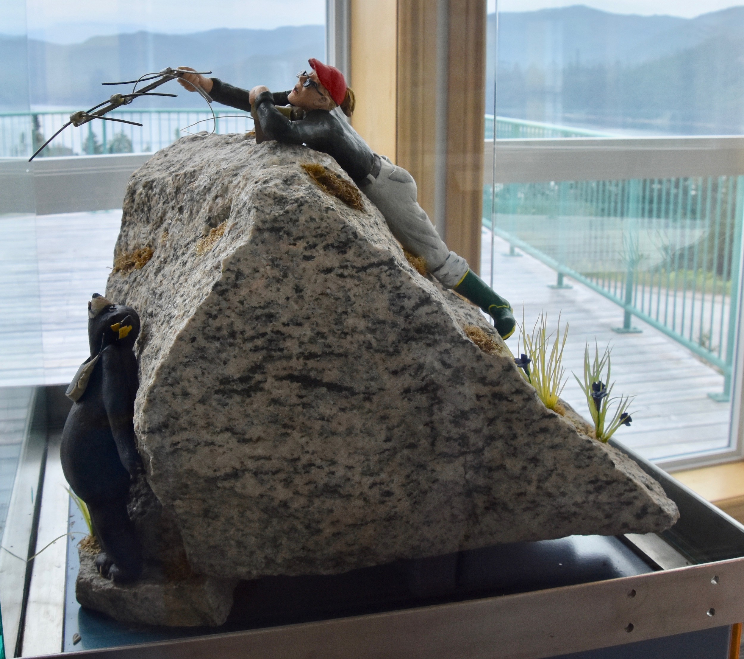
I must confess my favourite part of visiting the Discovery Centre is seeing the folk art representations of the various types of scientists that regularly visit Gros Morne to study, like this biologist tracking a black bear.
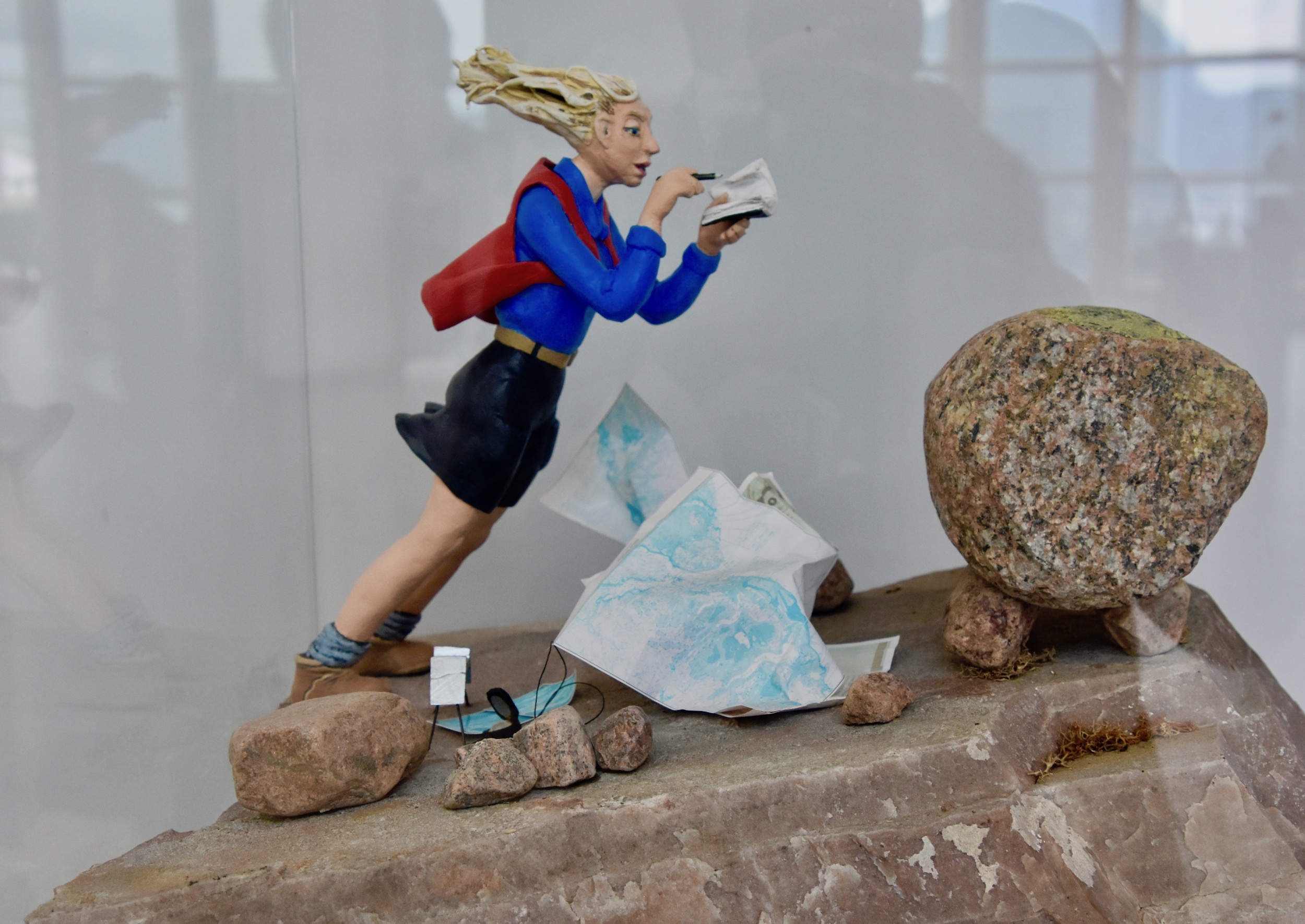
Or this geomorphologists getting blown away in her work.
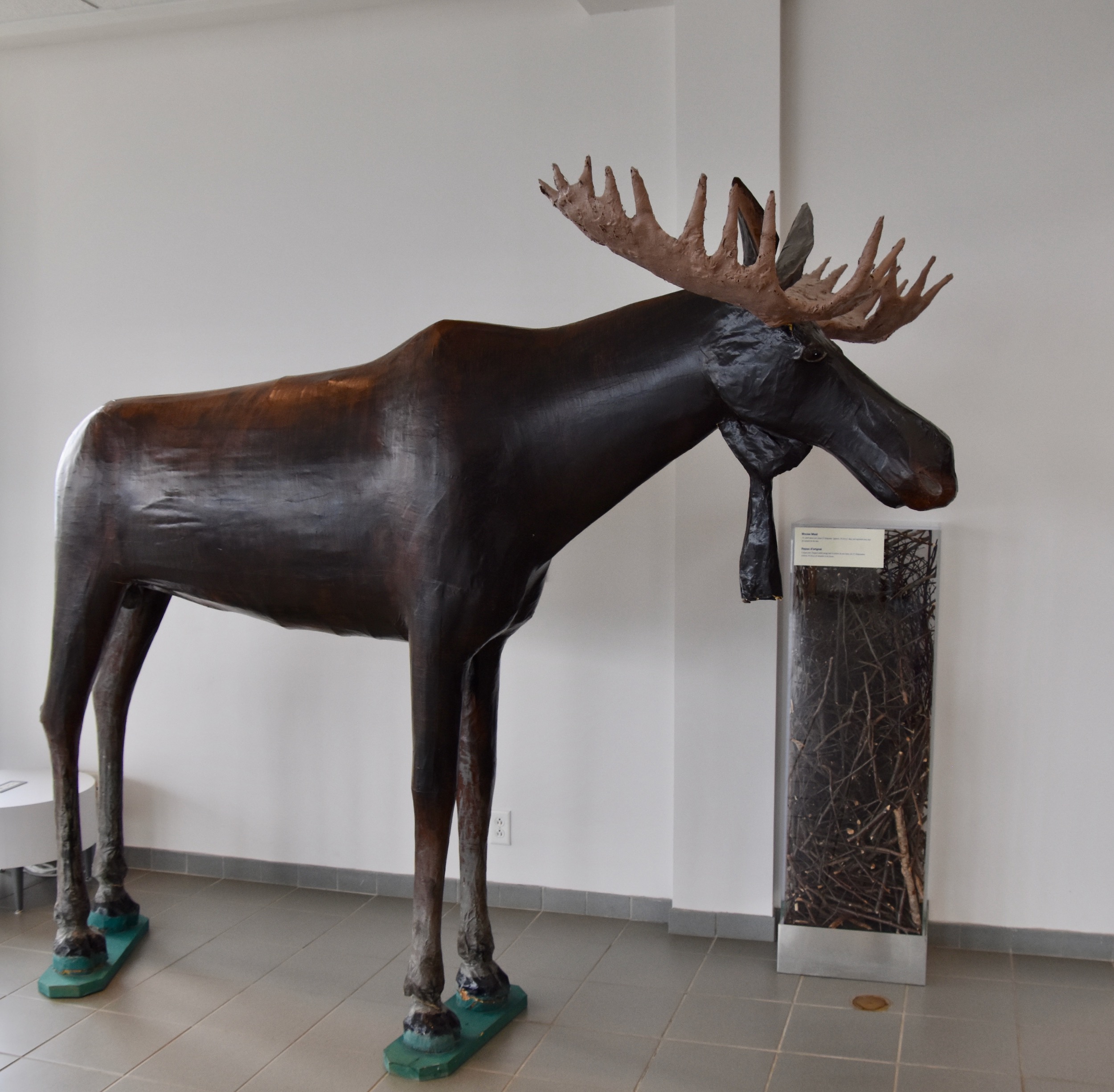
There are about five others equally as interesting as well as one of Captain Cook. Lastly there is this folk art moose. If you don’t see one of the 300,000 real ones that roam the island you can still say you saw a moose in Newfoundland.
Another large segment of the Discovery Centre is dedicated to a new for 2021 exhibit Miawpukek: The Middle River which tells the story of the Conne River Mi’kmaw community on the south shore of Newfoundland.
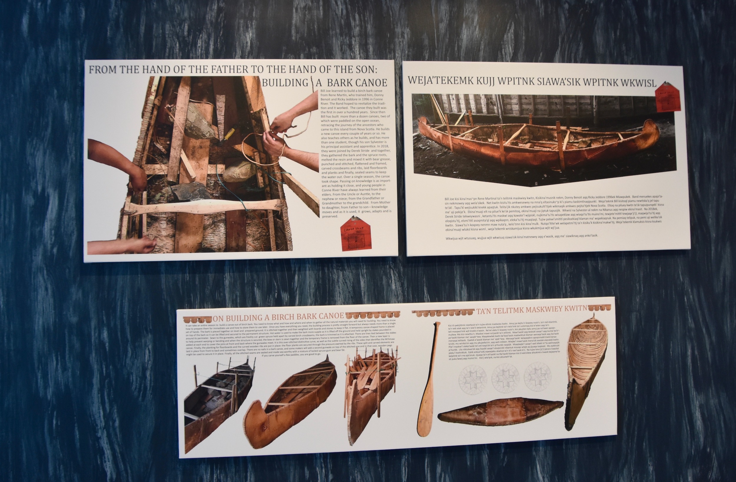
The Discovery Centre also has a small cafe for take out to the picnic tables outside and a gift shop.
The Lookout Hills Trail
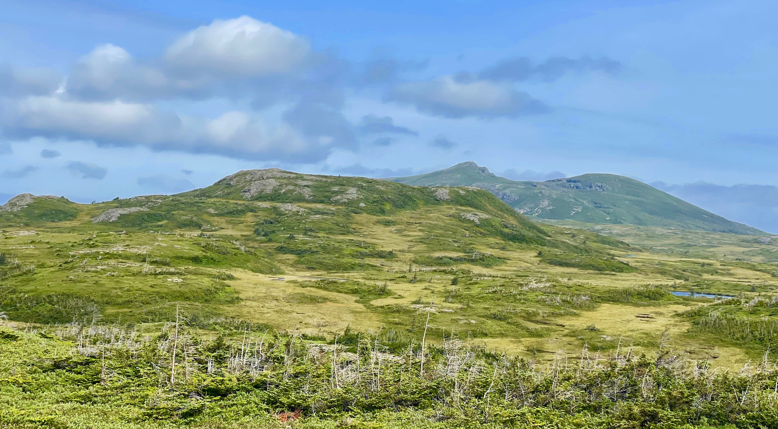
Before heading to the Tablelands Alison and I are going to view it from the top of Partridgeberry Hill which is one of the Lookout Hills that loom over the south side of Bonne Bay. The trailhead starts from the Discovery Centre and is five kilometres (3.1 miles) to the top and back. That doesn’t sound like much but the trail is quite steep going from 70 metres (230 feet) elevation at the start to 405 metres (1328 feet) at the top. It starts out zigzagging through the forest before coming out to this almost arctic looking barrens. If you look really closely you can just make out the two red chairs at the top of the hill. I see red chairs and I have to get to them no matter how difficult that might be.
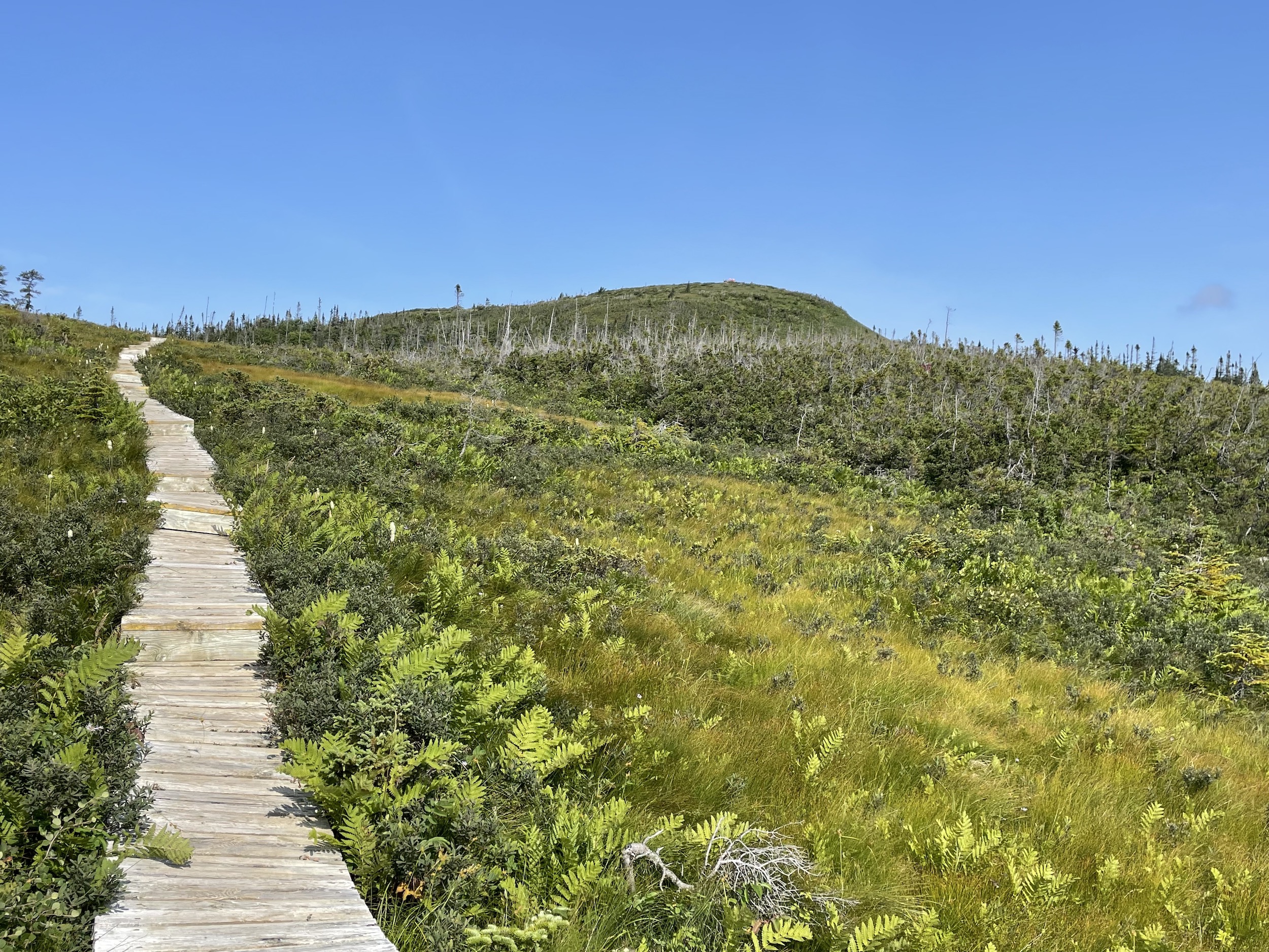
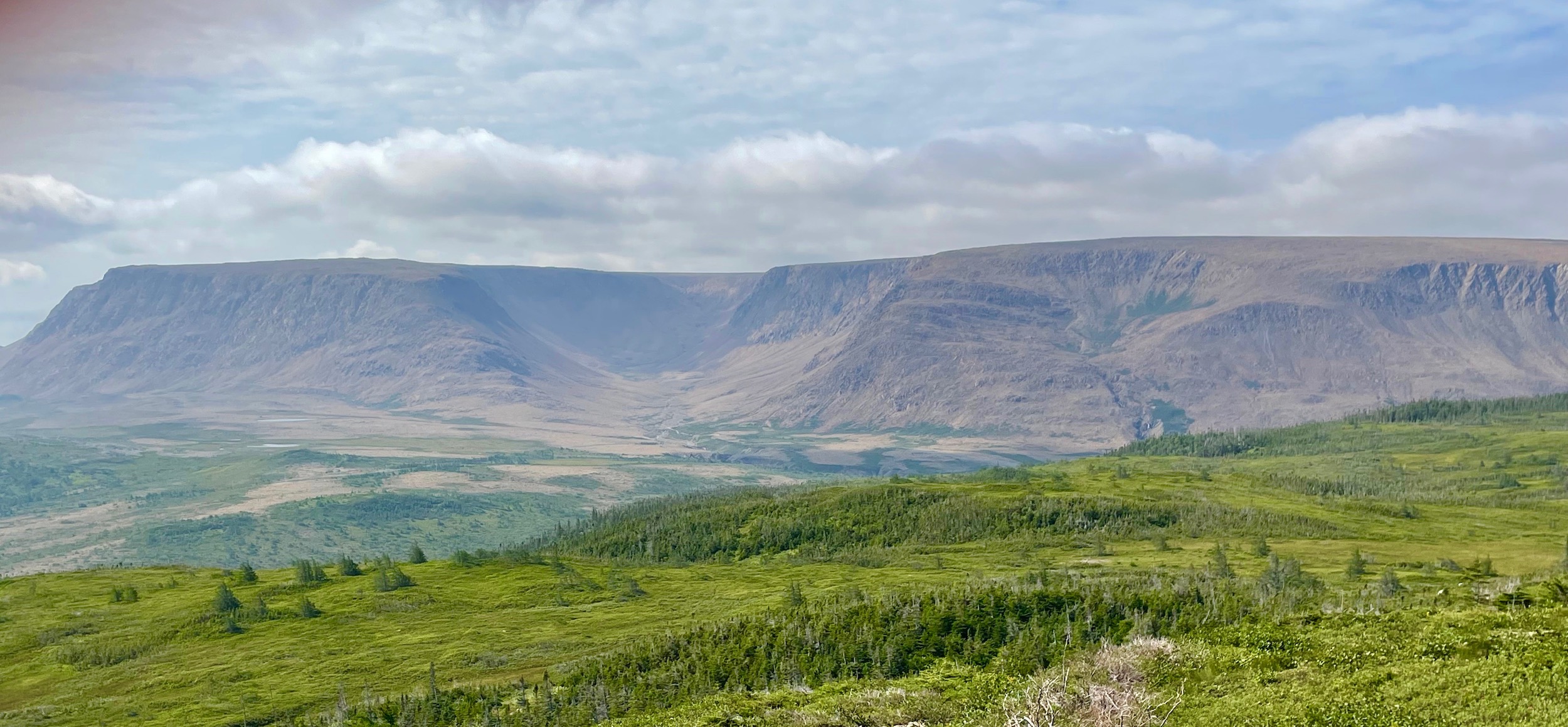
Actually the Lookout Hills Trail is a very good substitute for those who do not have the stamina to tackle the very demanding trail to the top of Gros Morne Mountain. The views from the top are more than worth the effort to get here starting with the Tablelands. That valley you see is Winter House Brook Canyon which is where we will be headed next. From this elevation you can also see why they are called the Tablelands, being almost completely flat on top.
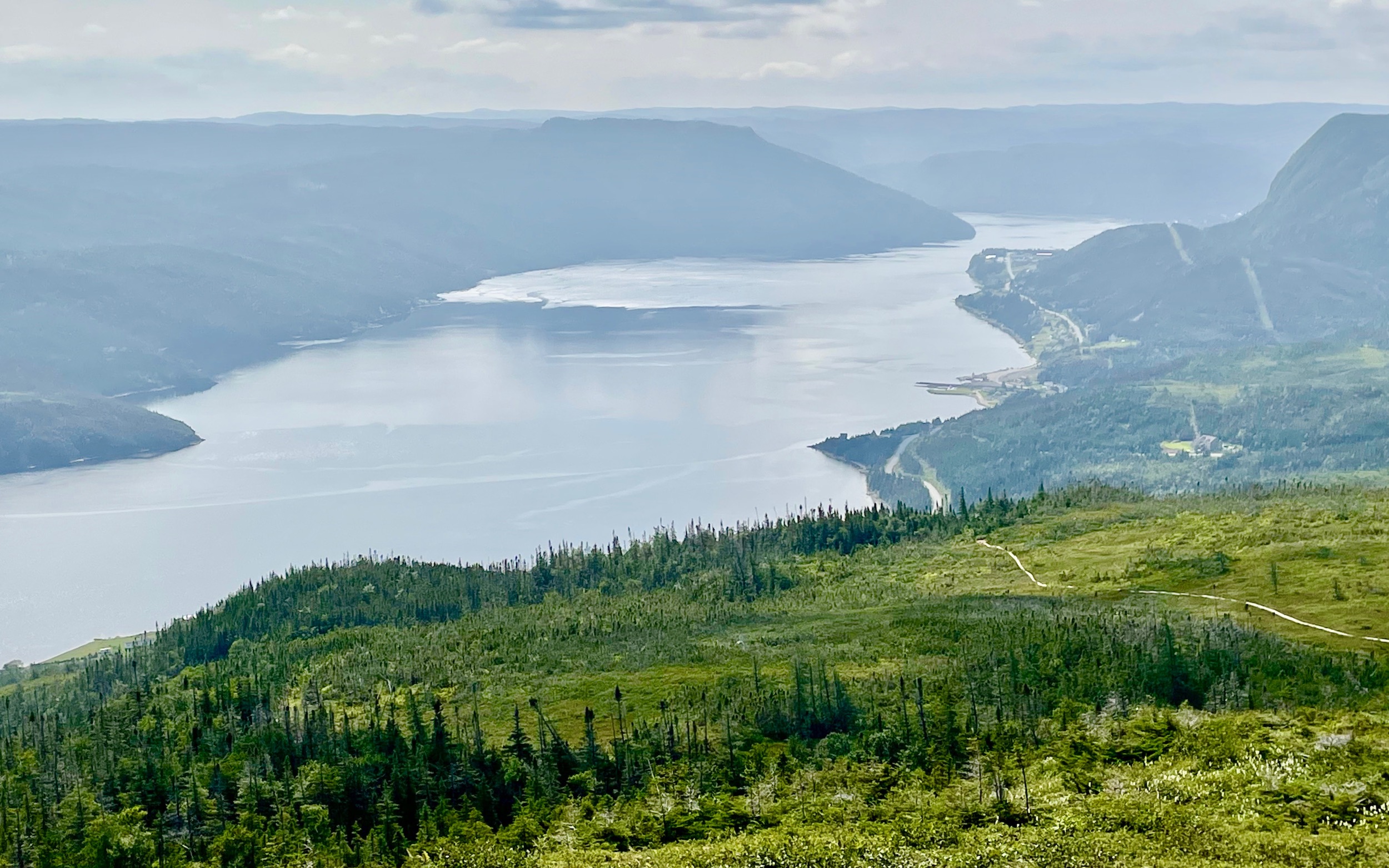
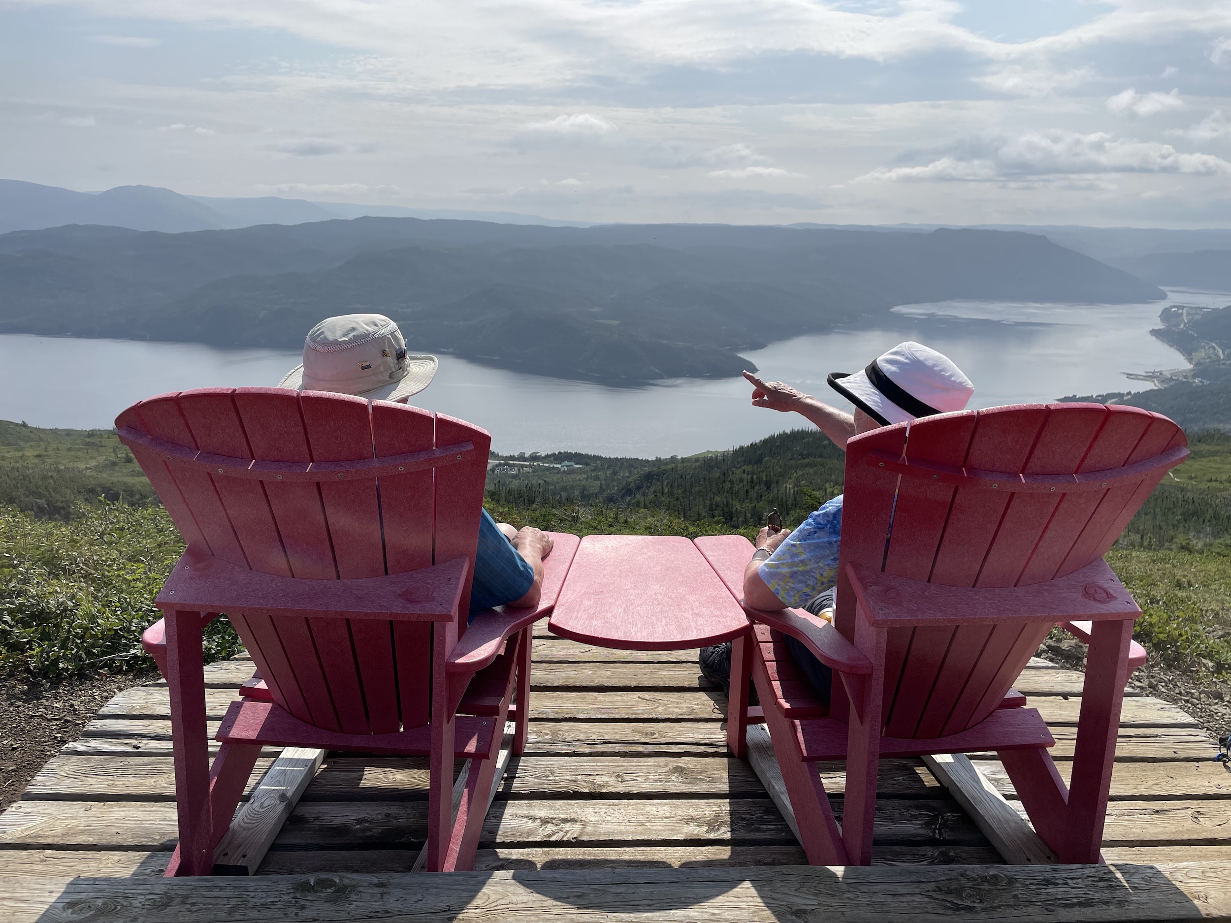
There are also great views of Bonne Bay which we will be touring by boat in a future post.
This is looking south over the Lookout Hills. There is a good chance you might see a moose from this vantage point, especially in the fall months when they are very active during mating season.
This is a 360° video. Play it without the sound as the wind ruined the audio.
And of course, don’t forget about the red chairs. I’ve got dozens of photos from all provinces in these chairs and the views from these ones on Partridgeberry Hills are as good as it gets.
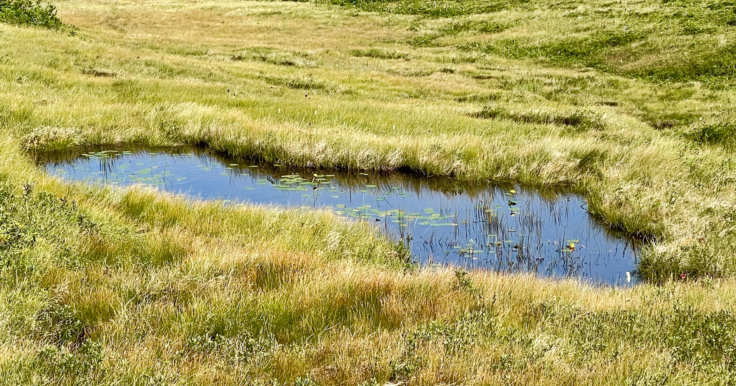
Descending you come across this tiny lily pond as well as many fine specimens of Newfoundland and Labrador’s provincial flower, the pitcher plant.
The Tablelands Trail
Time at last to visit the Tablelands. Before leaving the Discovery Centre area make sure to download a copy of the Parks Canada Guided Tours app which has a tour of the Tablelands trail on it. If you need assistance one of the PC employees at the centre will help you download it and find the Tablelands tour for you.
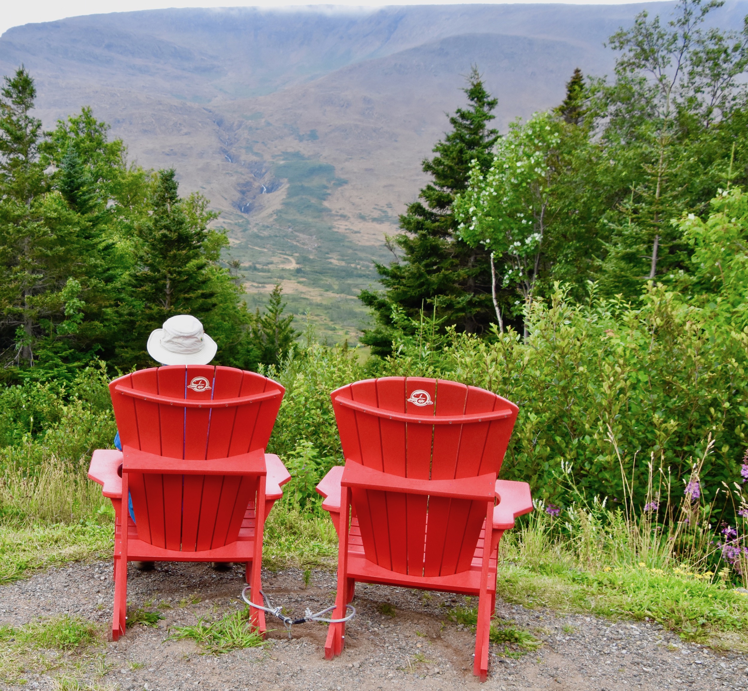
The trailhead parking lot is only a short distance on Route 431 from the Discovery Centre, but before you get there look for another set of red chairs from where you can view the Tablelands knowing that in an hour or so you will be staring up the same canyon from its mouth.
The trail at the Tablelands is only four kilometres (2.5 miles) out to the platform at the entrance to Winter House Brook Canyon and back. It is also relatively flat and the final section is a boardwalk so pretty well anyone should be able to manage this trail.
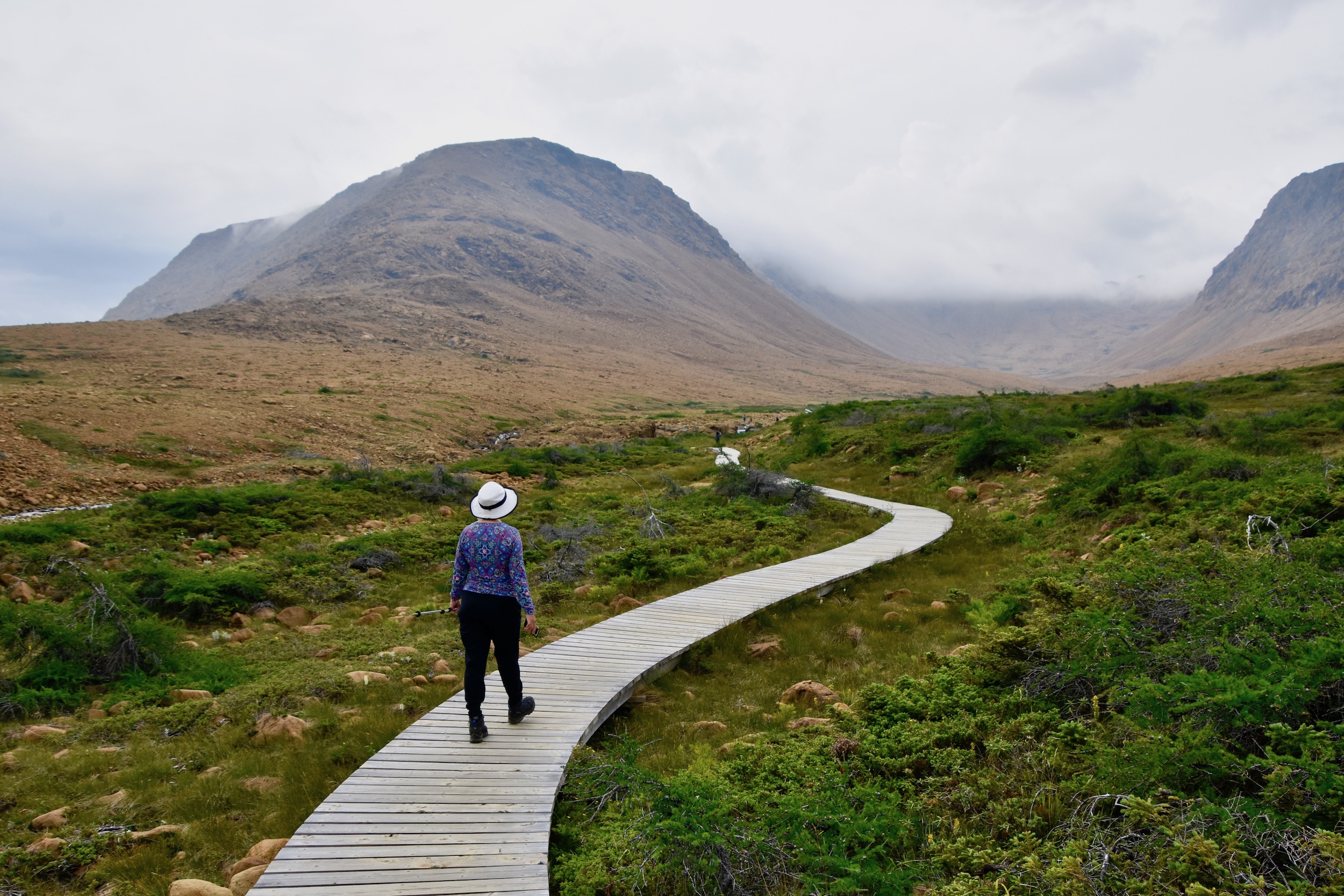
The first and most obvious thing about the Tablelands is that once you’re in it, it doesn’t look like anything you’ve ever seen before. Often compared to a Martian landscape it has a starkness that is hard to call beautiful, but rather entrancing might be a better descriptor. Remember you are standing on a piece of ground that is not supposed to be on the earth’s surface, but rather way, way, way under the earth’s crust.
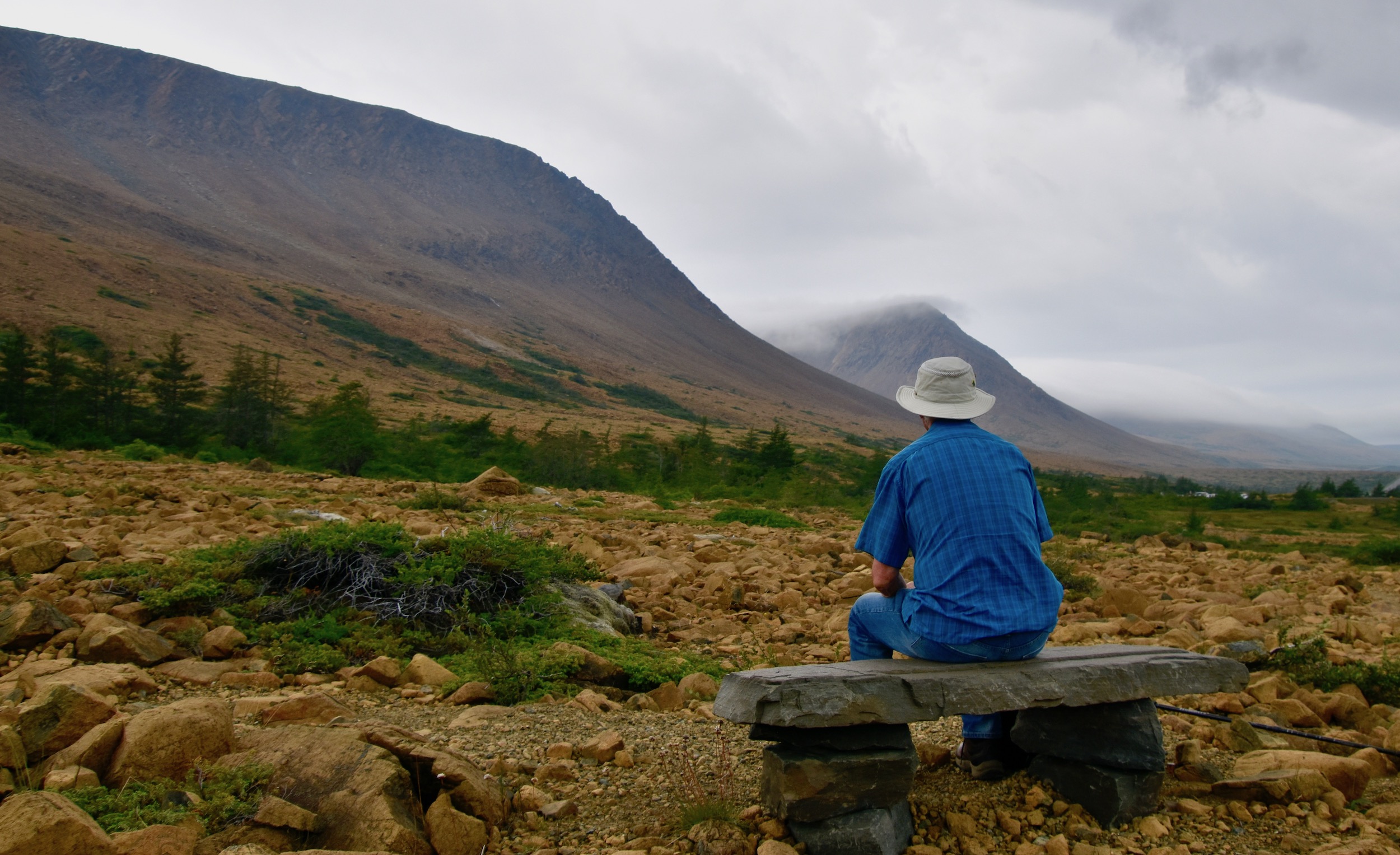
The principal rock that makes up the Tablelands is peridotite which has virtually no nutrient value when it is broken down into soil which explains why there is so little vegetation and from a distance like the top of Partridgeberry Hill appears barren.
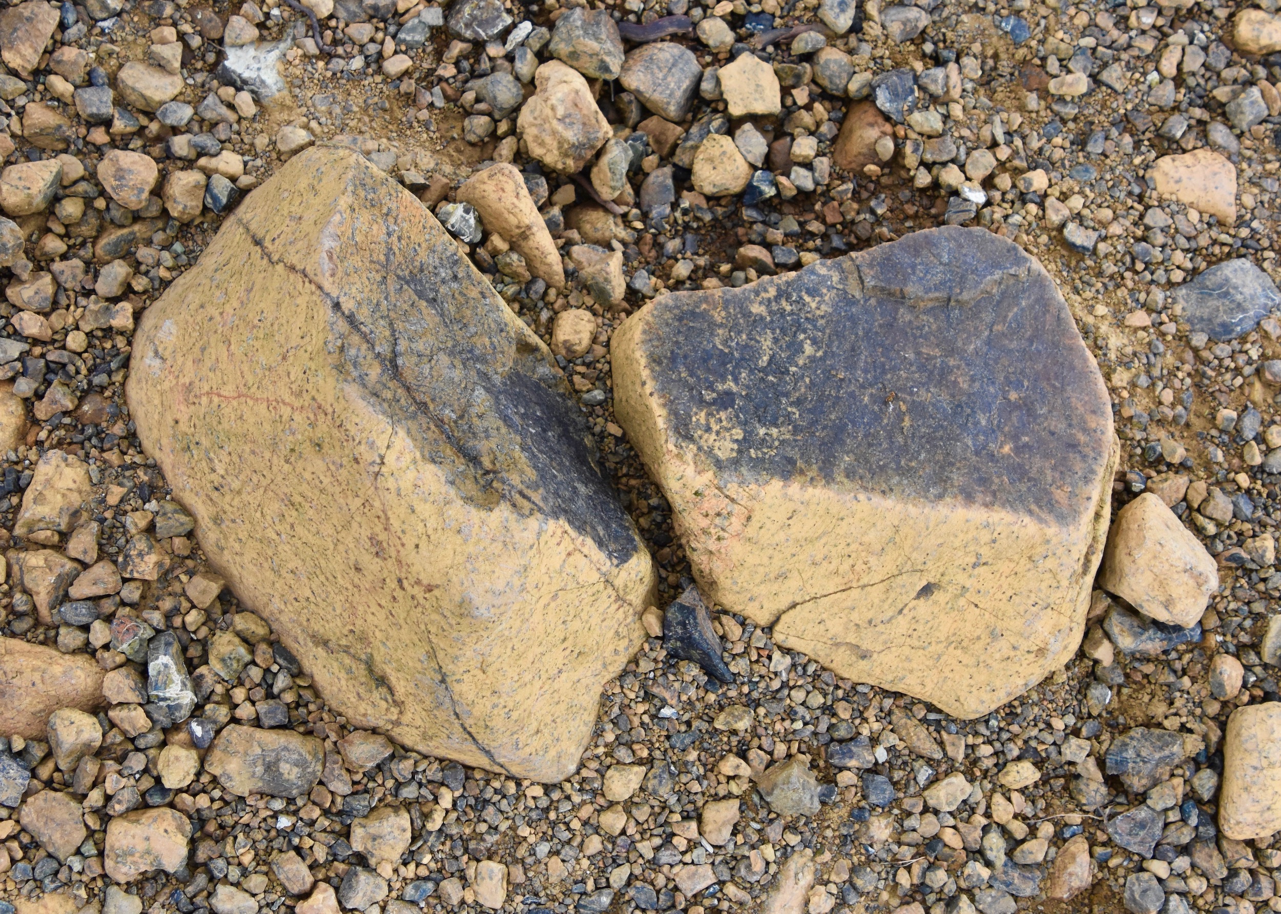
Peridotite’s metamorphic cousin serpentine is prettier to look at, but no better for growing things.
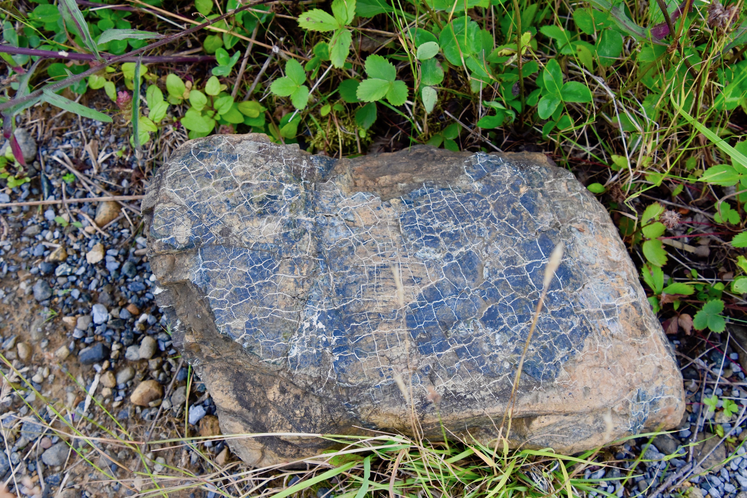
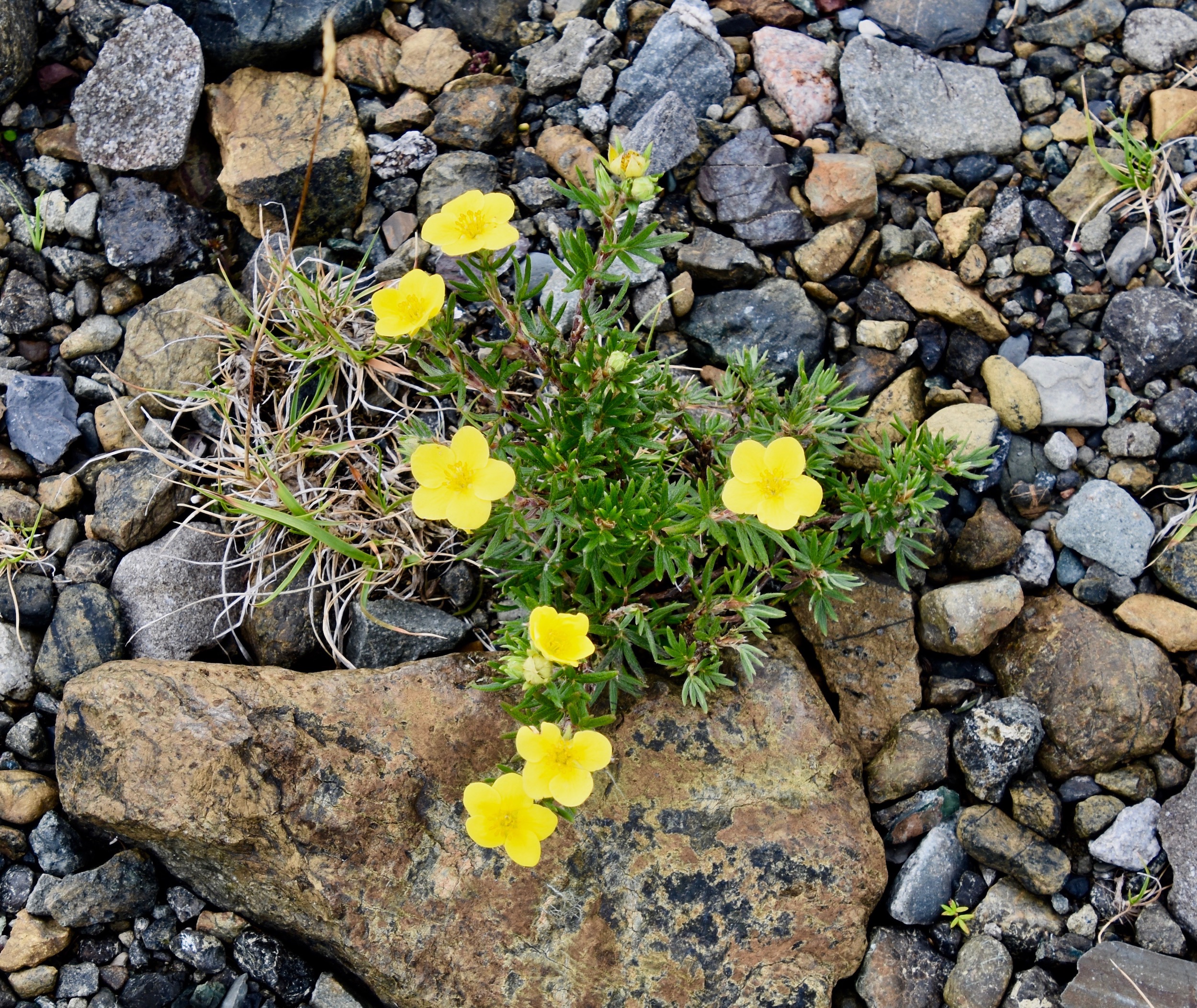
Still there are a few plants that can grow and even thrive in nutrient deficient soil, this shrubby cinquefoil being perhaps the best example.
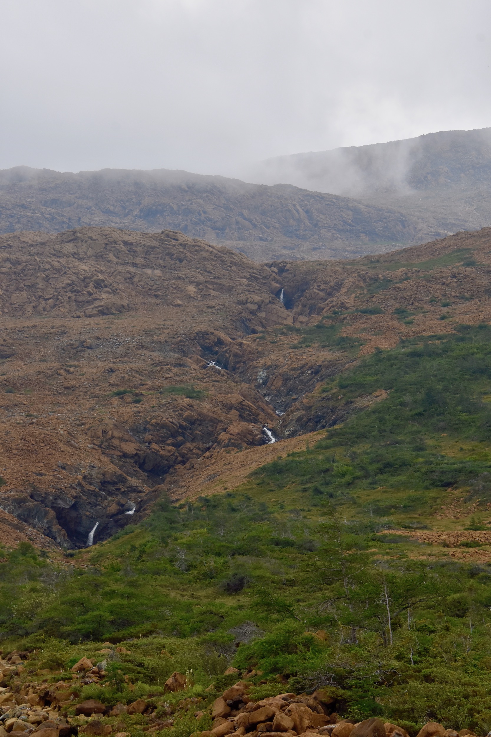
There are several small streams that wend their way down from the top of the Tablelands. You can take a side hike up to waterfall in this photo.
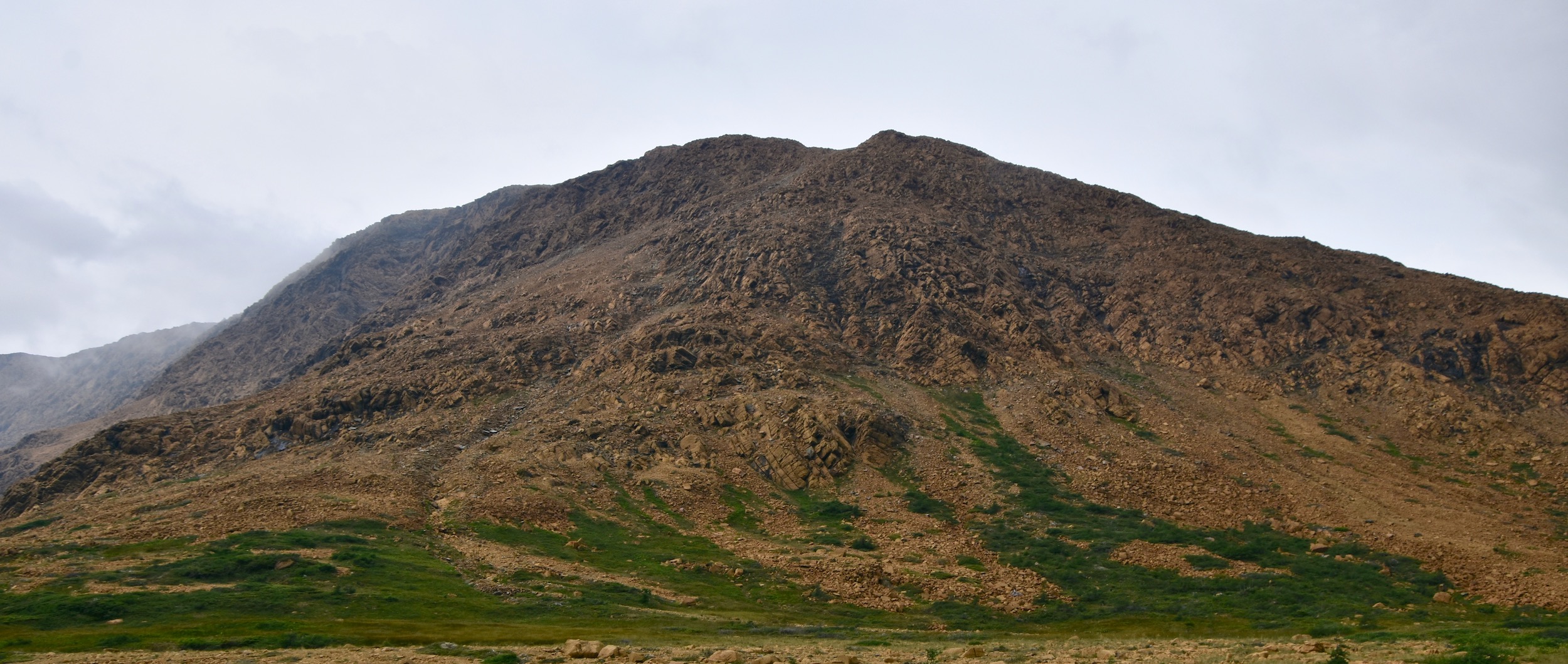
Mostly though what you do in the Tablelands is simply stare at these geologic intruders from middle earth. How can this possibly be the same hill that I looked at from Partridgeberry Hill which proved that the Tablelands are flat on top and not curved like this photo would deceive you into thinking?
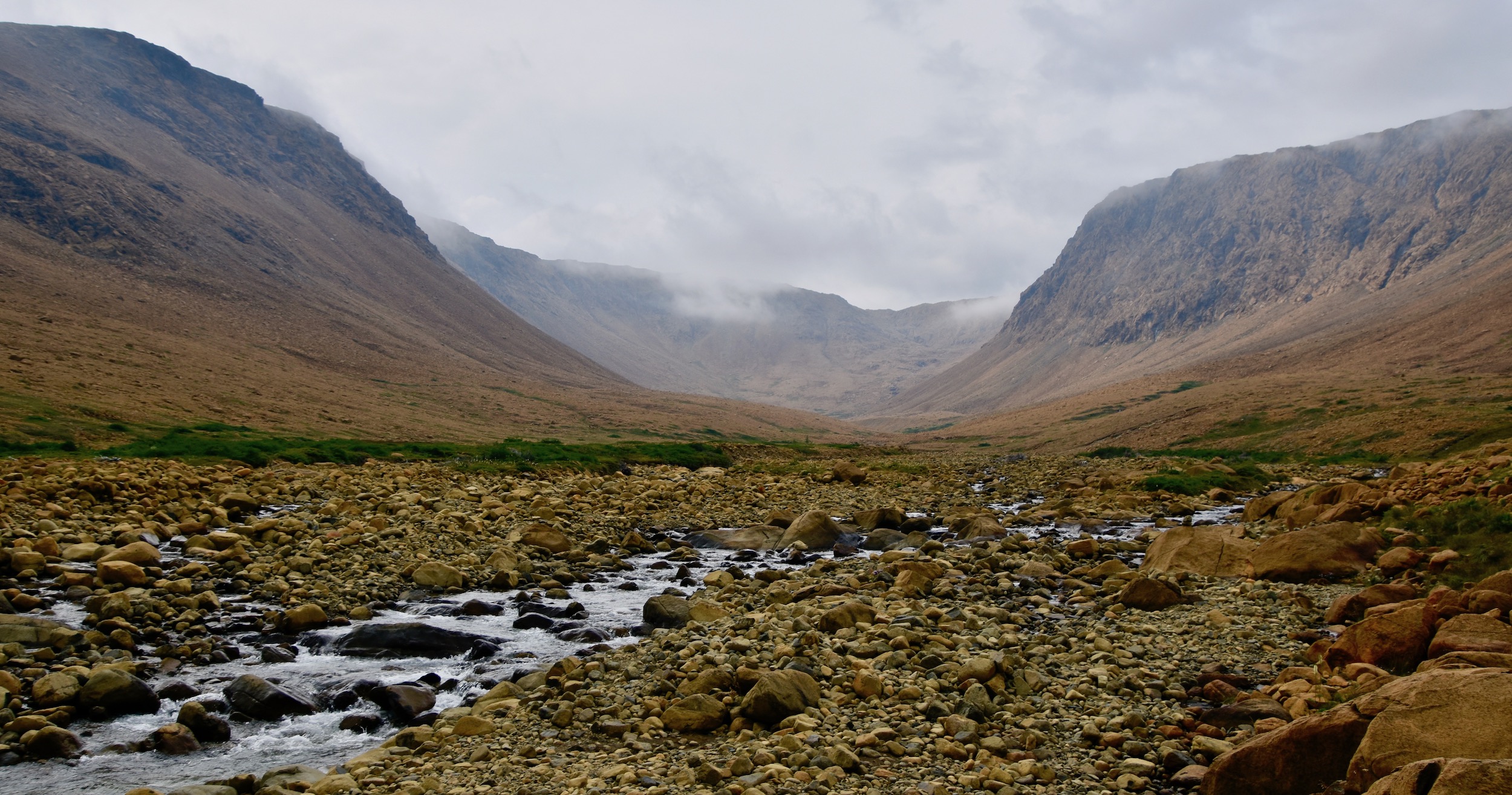
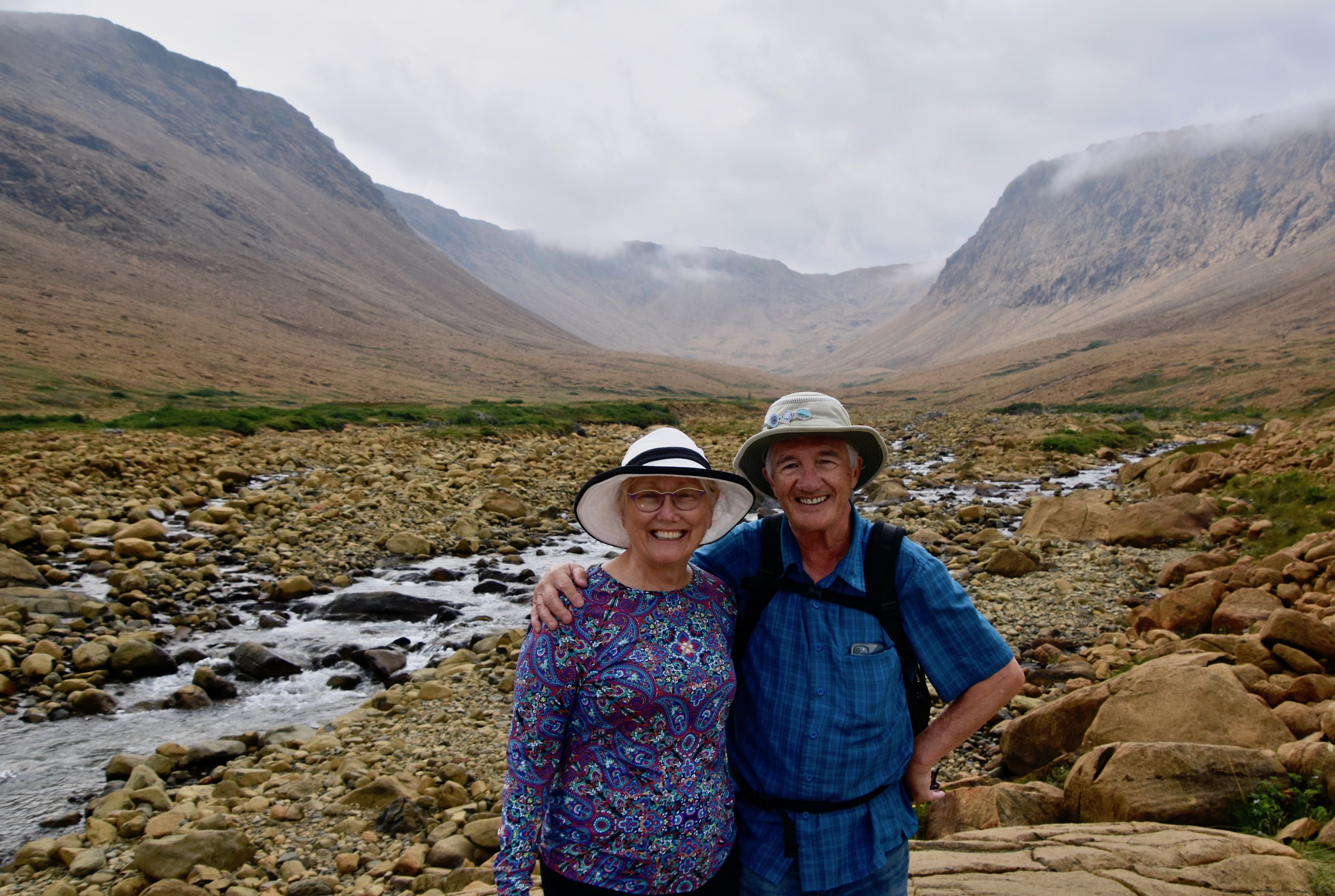
At the end of the boardwalk there is a great view up into Winter House Brook Canyon. You can keep on going and spend an entire day making your way up to the top, but that is for another day or maybe lifetime.
Oddly, there are no red chairs in this iconic location, but you will still want a photo taken to prove you have visited the Tablelands.
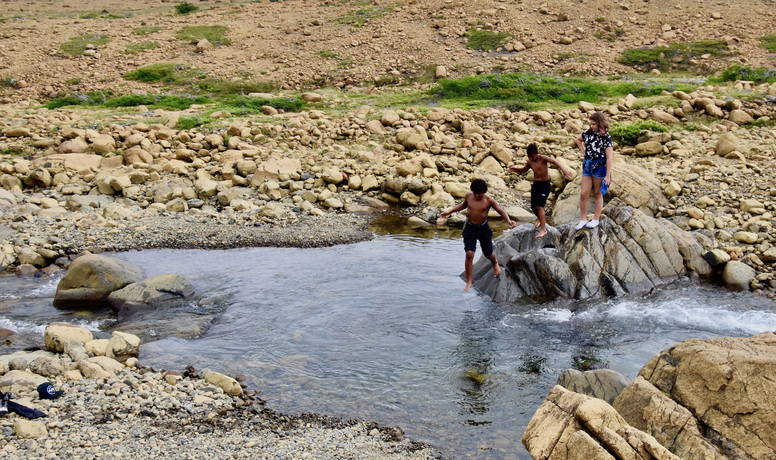
After that you might want to go for a dip like these kids who were not bothered at all by the fact the water was freezing.
Now that you’ve added the Tablelands to your bucket list of places visited, it is time to explore more of Gros Morne which we will do in the next post.

