Tent Rocks National Monument New Mexico
Our exploration of New Mexico’s natural and historical wonders continues with a visit to Kasha-Katuwe Tent Rocks National Monument or just Tent Rocks as most people call them. Although located not that far from either Santa Fe or Albuquerque this relatively new National Monument (Bill Clinton designated it in 2001) receives a fraction of the visitors that nearby Bandelier National Monument does. Bandelier lies just on the other side of the San Miguel Mountains from Tent Rocks, but the two places could not be more different. Bandelier is all about the amazing cliff dwellings, while Tent Rocks is almost totally a natural phenomena with some of the most interesting rock formations you’ll find anywhere. The 1.2 mile (1.9 kms.) Cave Loop Trail takes you up close and personal to the rocks while the 1.5 mile (2.4 kms.) Canyon Trail offers an opportunity to explore a slot canyon and if you have the energy, climb up to the canyon rim. Here’s what Alison and I found on a visit in the fall of 2109.
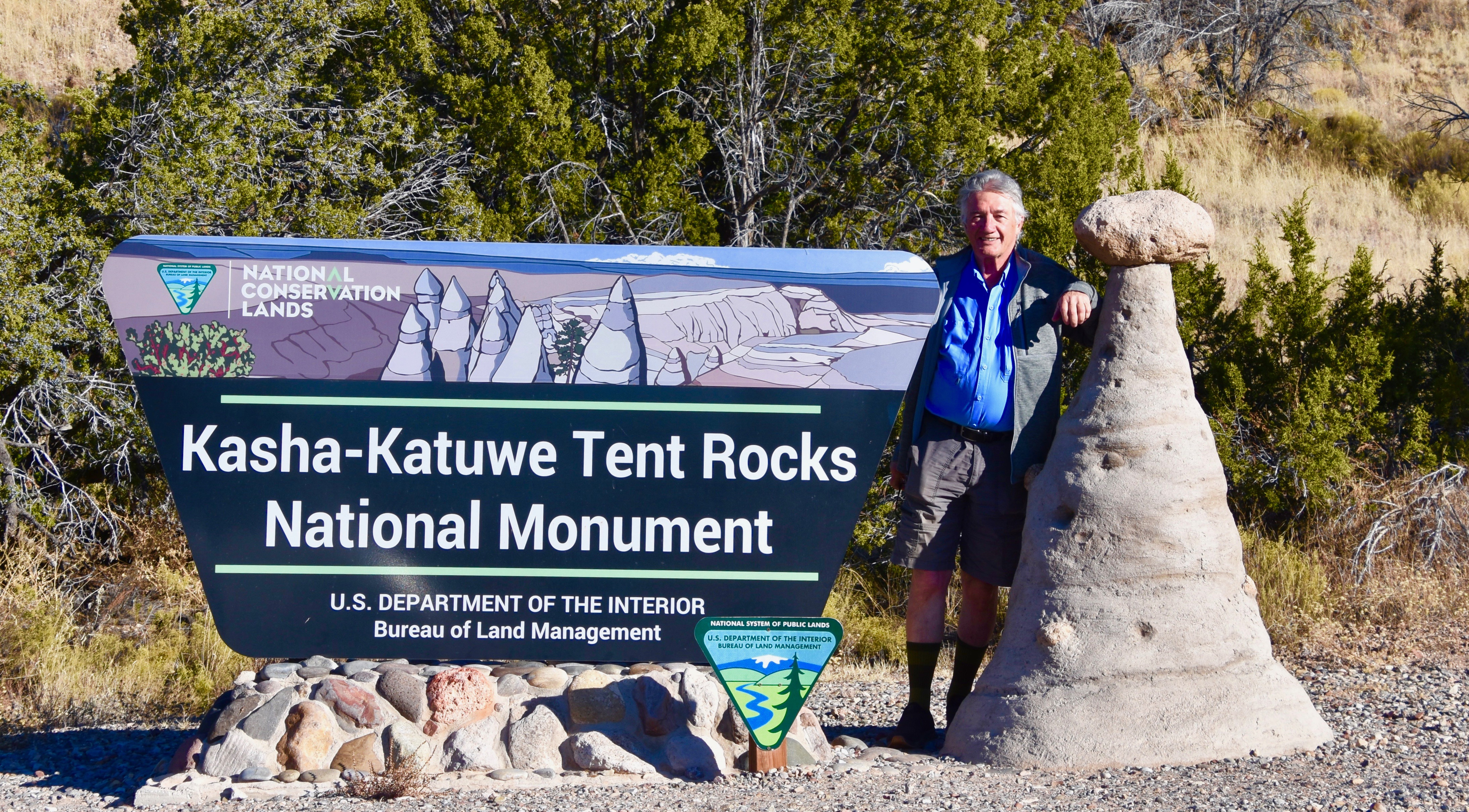
To get to Tent Rocks you need to take county road 16 off the 1-25 if you are coming from Santa Fe or county road 22 if coming from Albuquerque. The roads merge just before Cochiti Lake and Cochiti Pueblo which is home to about 1,500 Keres speaking inhabitants, one of the rarest languages in North America with only about 11,000 speakers in total spread over seven pueblos in north central New Mexico, each with its own distinct dialect. They run a gift shop selling native souvenirs not far from the entrance road to the monument.
The entrance road runs off county road 22 for four miles straight into the scrubland that is much dryer and drabber than the lusher Frijoles Canyon on the other side of the mountains. We are here in late October so there’s plenty of room to park, but according to the official website if you visit in summer the parking lot could well be full. Why you would want to visit in the heat of a New Mexico summer if you could come here in the spring or fall is beyond me.
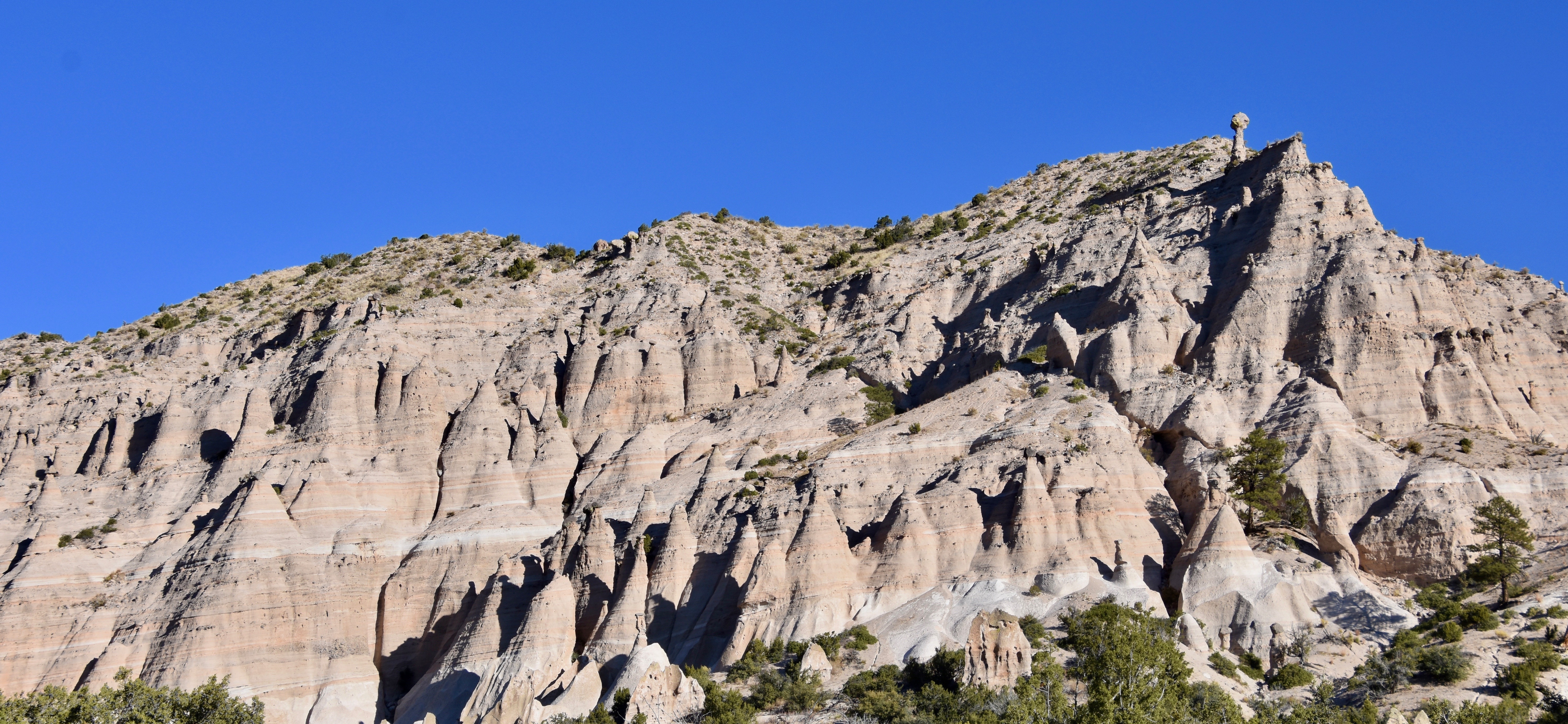
There is a $5.00 admission fee payable at a booth, but no interpretive center, just a few informational panels, some picnic sites and a washroom. It’s pretty basic – you come here to hike the trails and marvel at the rock formations which look like this from the parking area.
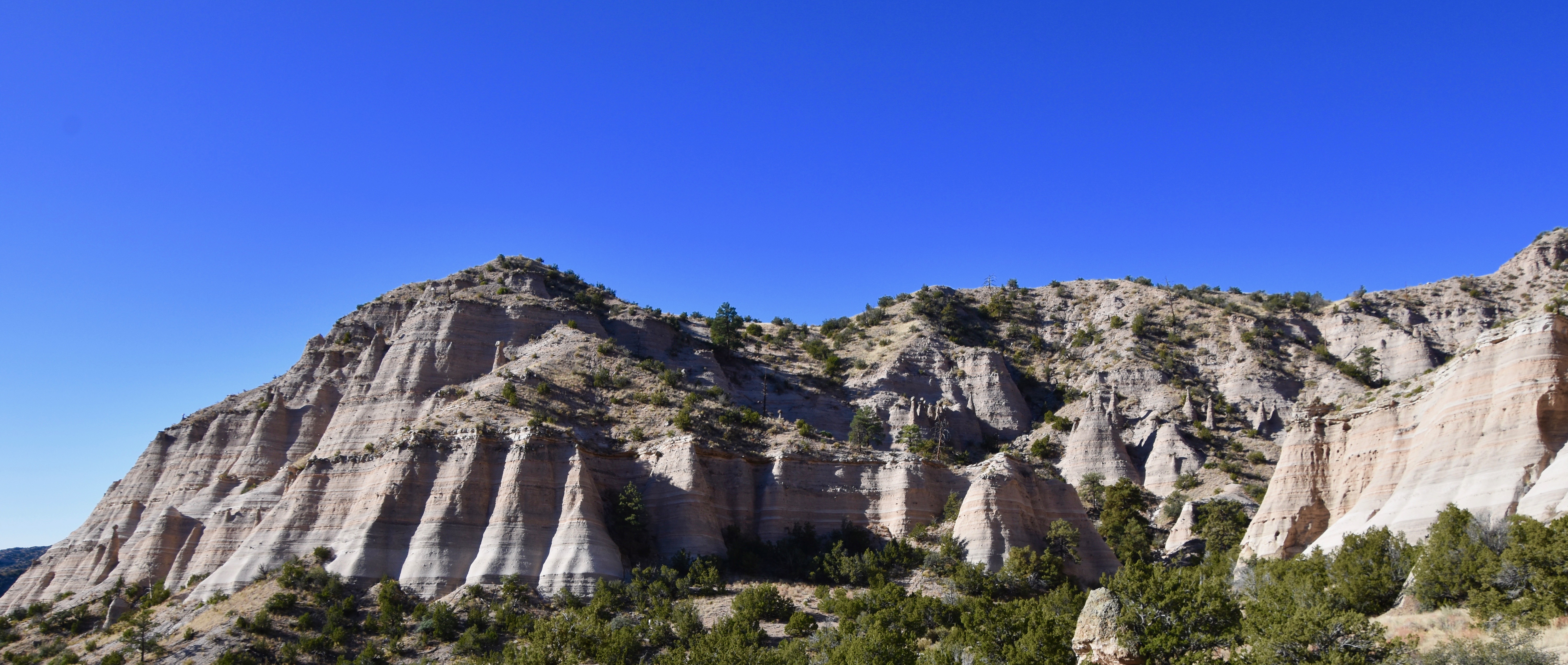
The elevation here is over 5,570 feet at the parking lot and 6,760 feet on top of the plateau so it’s apt to be a bit cool in late October although the day we visited it was quite pleasant. Decent hiking boots and walking poles would be helpful, but not an absolute necessity. However, water, a hat and sunscreen are.
Creation of Tent Rock Formations
By geological standards, what you are looking at in Tent Rocks are relative babies and something that just looks old and wizened. Only six to seven million years ago the Jemez Mountains volcanic field erupted, spewing rock and ash over the area and then hardening into layers of pumice and tuff, two very light and easily eroded types of rock. Properly described as a pyroclastic flow, it was the same type of eruption that buried Pompeii and blew up Mount St. Helens. The deposits are up to a thousand feet thick in places.
The two main features of Tent Rocks are the rock formations and the slot canyons, both the result of erosion, mostly caused by water.
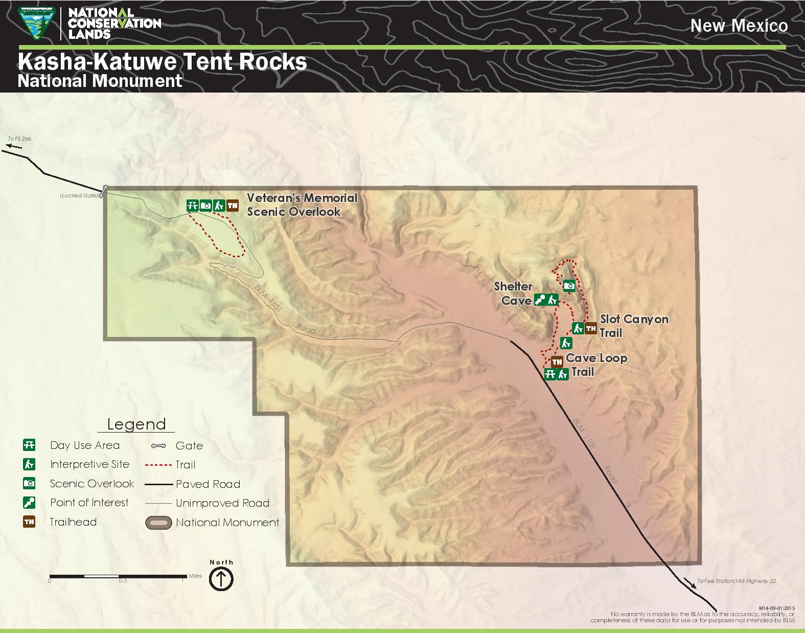
This is a map of the trail system and as you can see the Slot Canyon trailhead starts about a third of the way through the Cave Loop trail. So if you are going to do the whole trail system it will be over 4 miles (6.5 kms.) and involve a change of elevation of over 700 feet.
So let’s get going.
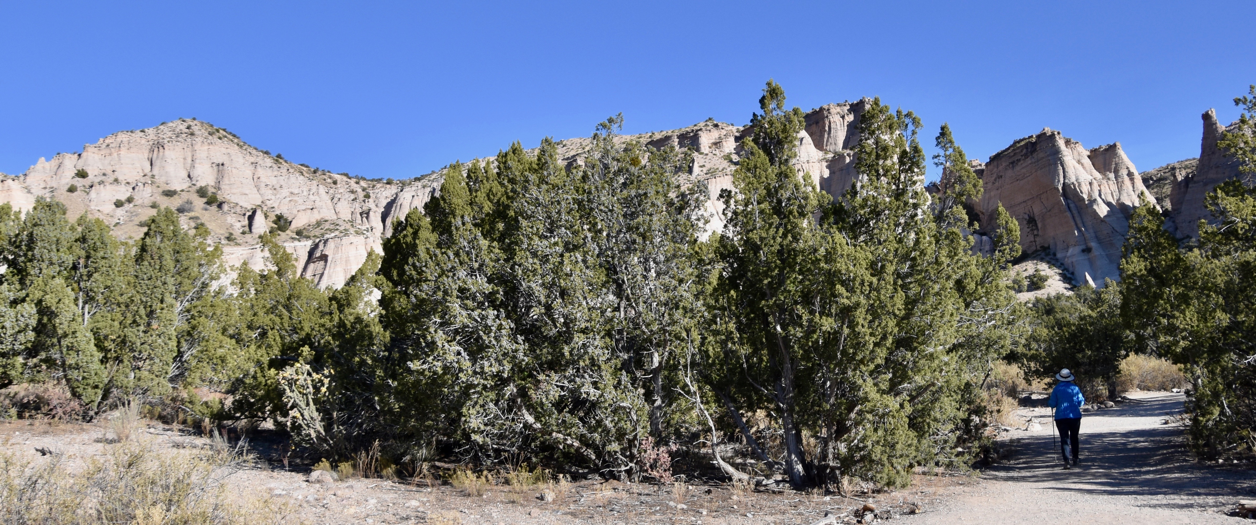
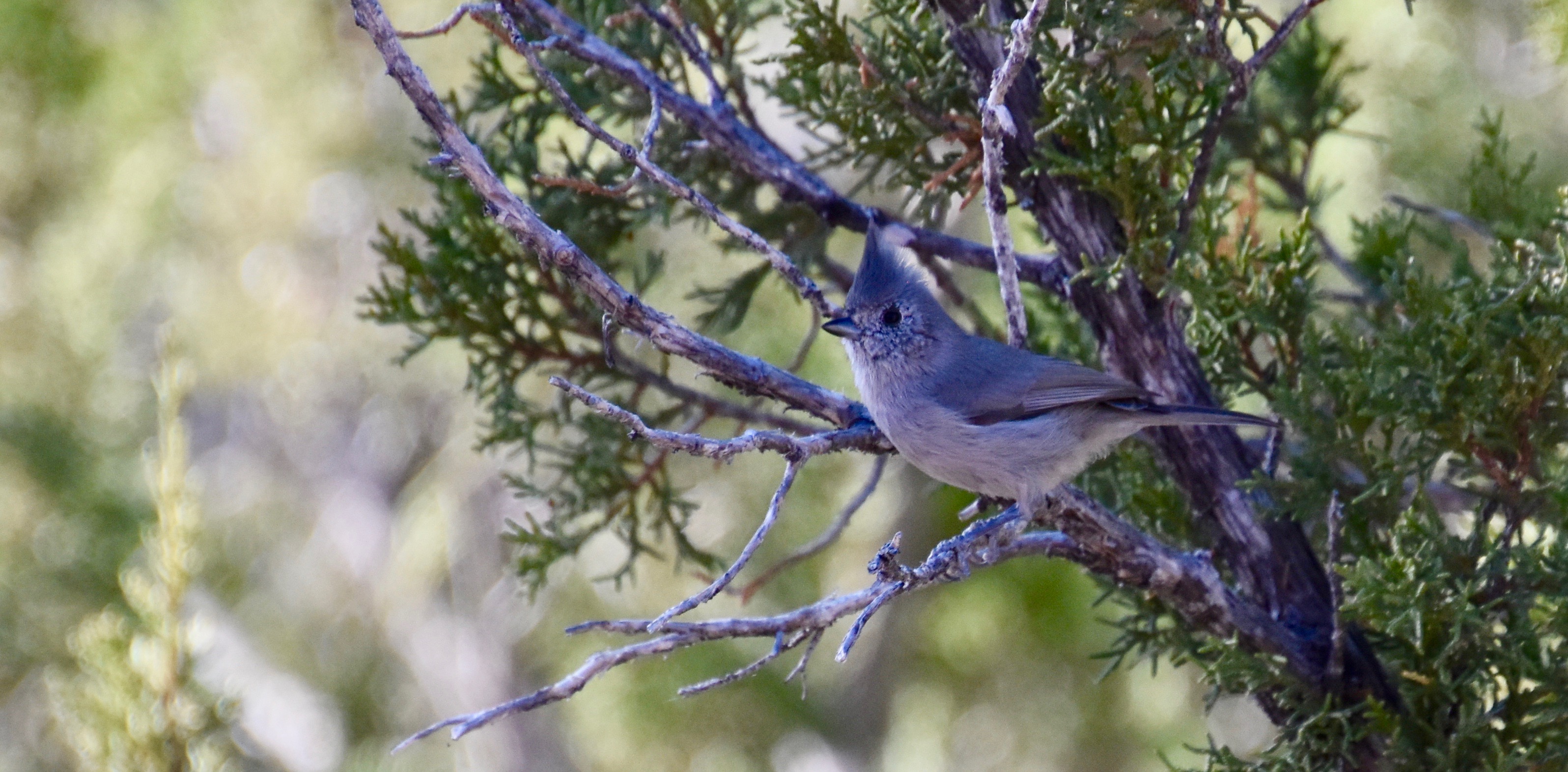
The beginning of the trail is quite wide and passes through scrub growth which doesn’t quite merit being called a forest. While there is not a lot of wildlife on this trail we did come across this mystery bird. It has all the colouring of a Woodhouse’s scrub jay which is found in this habitat, but the only problem is that this bird has a definite crest like a blue jay or cardinal. However, the only crested jay west of the Rockies is the Steller’s jay which this definitely is not. So, despite pouring over bird sites and bird books I cannot definitely say which species this is.
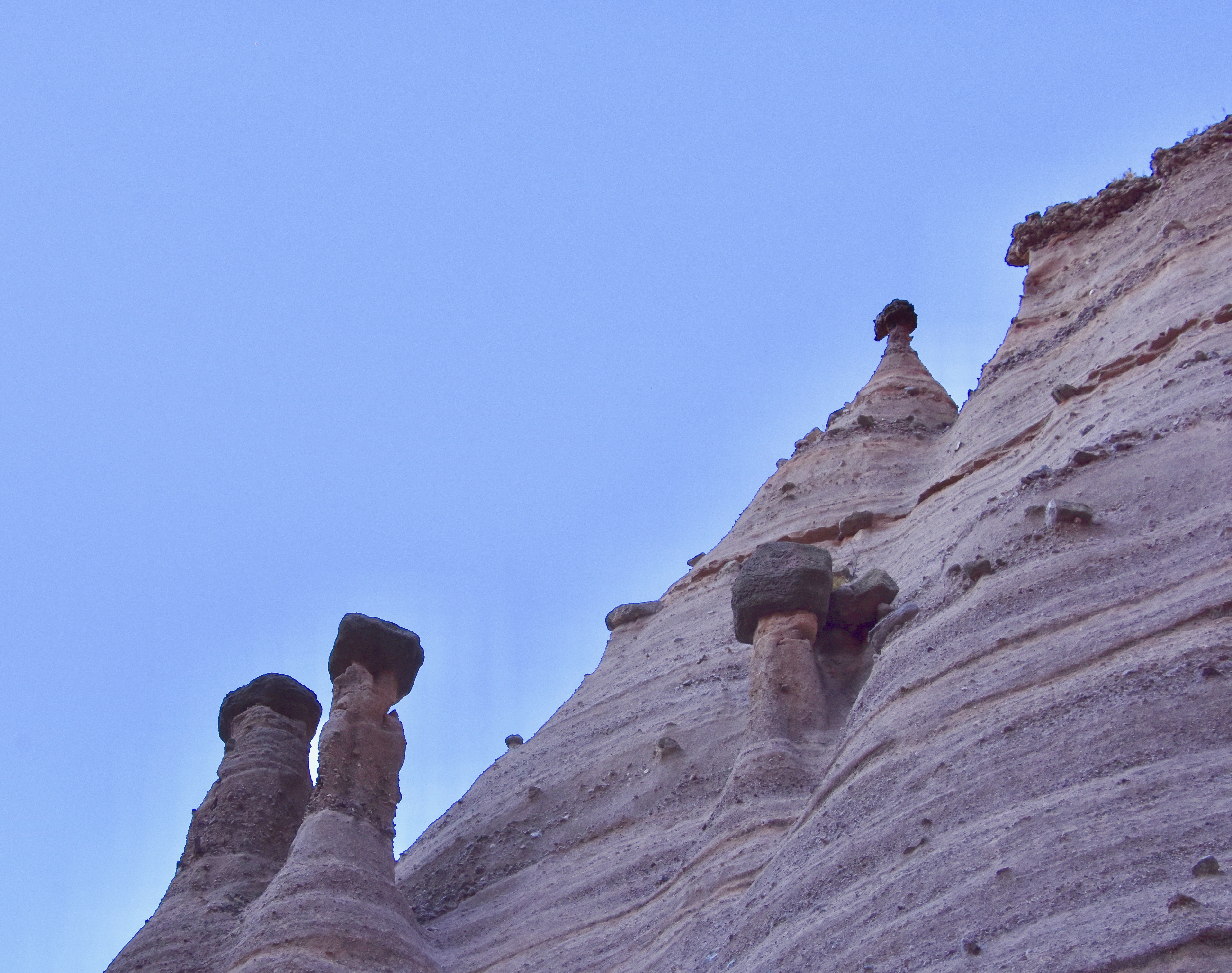
While most of the rock formations are conical in shape and resemble tepees, thus ‘Tent Rocks’, a few have capstones that make them look like they are wearing hats similar to the one at the top of the ridge in this photo. Hopefully the trail will let us get a closer look at one of these amazing formations.
The Slot Canyon
After climbing to the base of the cliff face you come to the trailhead to the Slot Canyon Trail. Slot canyons are so named because they are incredibly narrow compared to most canyons. If you have the Grand Canyon or Copper Canyon in Mexico at one end of the canyon spectrum you have slot canyons at the other. They are noted for their great natural beauty which comes from the combination of the natural light on the striated layers of sedimentary rock. Here is a link to a Smithsonian magazine on the world’s most beautiful slot canyons, many of which are in the southwest United States. We even have some in my native province of Nova Scotia. Here is a link to an article on them by my friend and co-author Ryan Barry.
Slot canyons are also known for their incredible danger. If you are caught in a flash flood in a slot canyon you are probably toast. Every year many, many people are killed while canyoneering in slot canyons including very experienced adventurers like the seven who died in Zion National Park in 2015.
So it is with these cheery thoughts in mind that we head into the slot canyon at Tent Rocks.
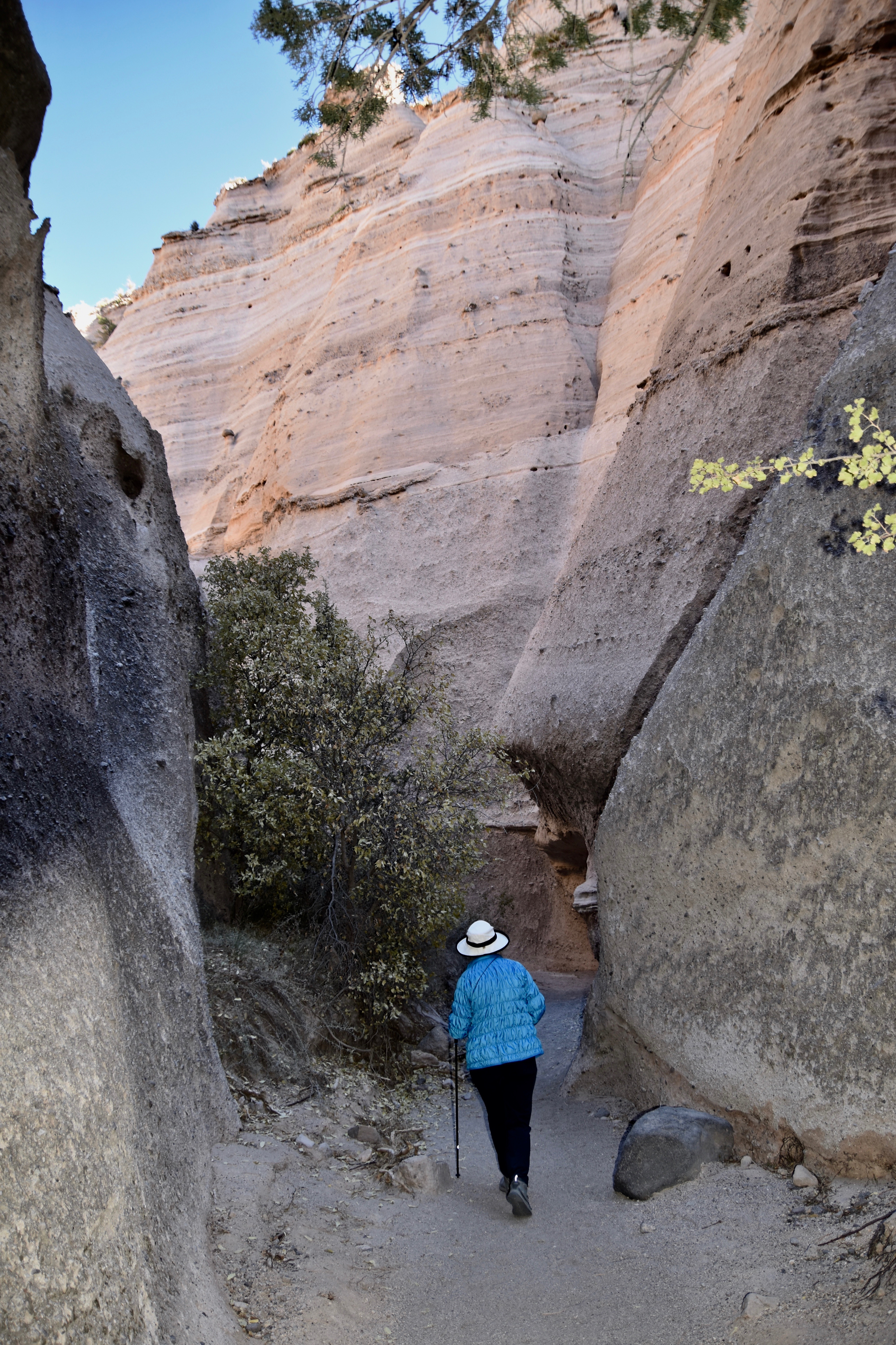
While the trail is easy to follow, it is very narrow in places like this.
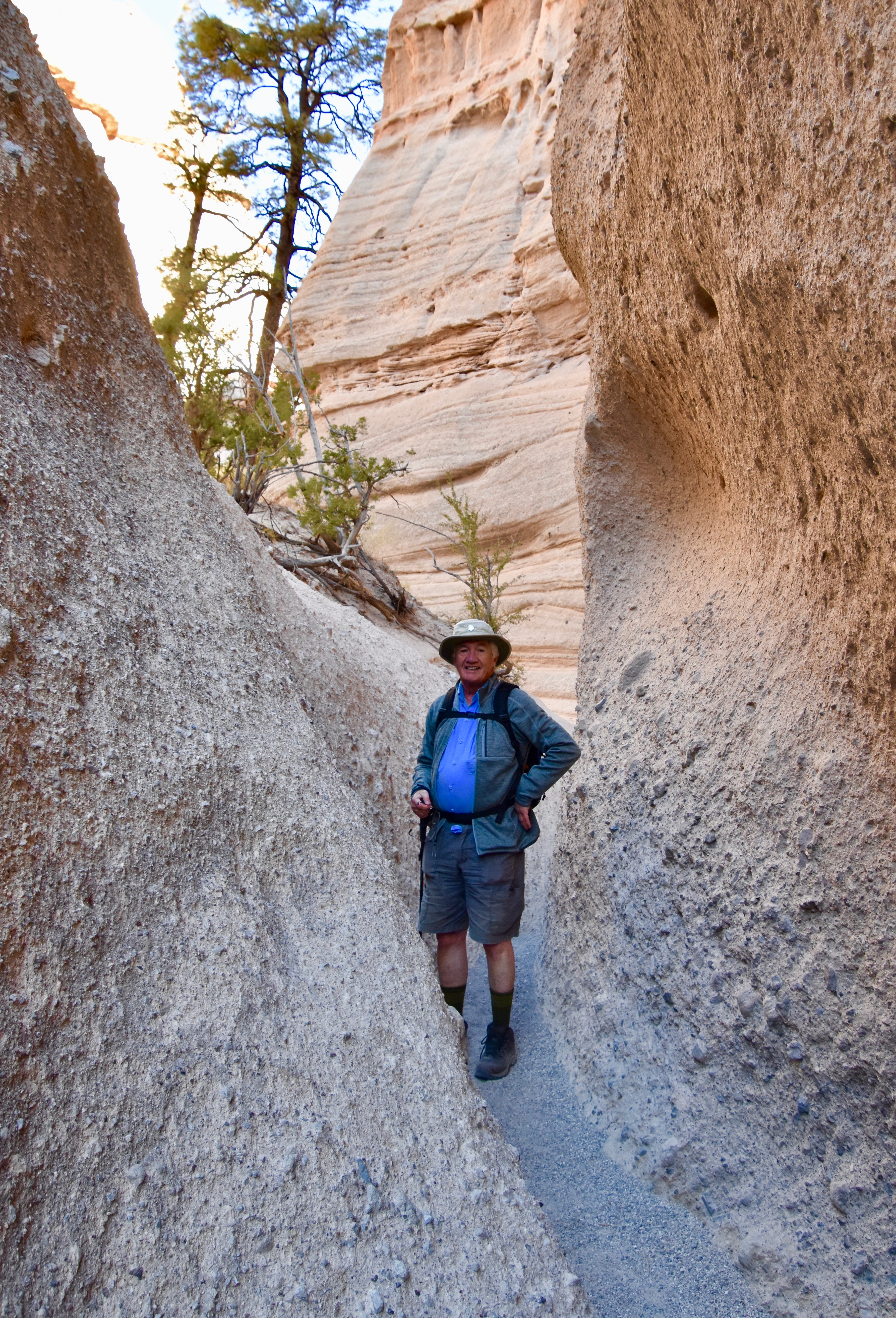
Incredibly, in places huge ponderosa pines grow up from the canyon floor, their roots literally grasping for purchase among the boulders and thin soil. They only get direct sunlight for a couple of hours a day. Apparently, unlike humans, they don’t get Seasonal Affected Disorder (SAD) due to the lack of sunshine.
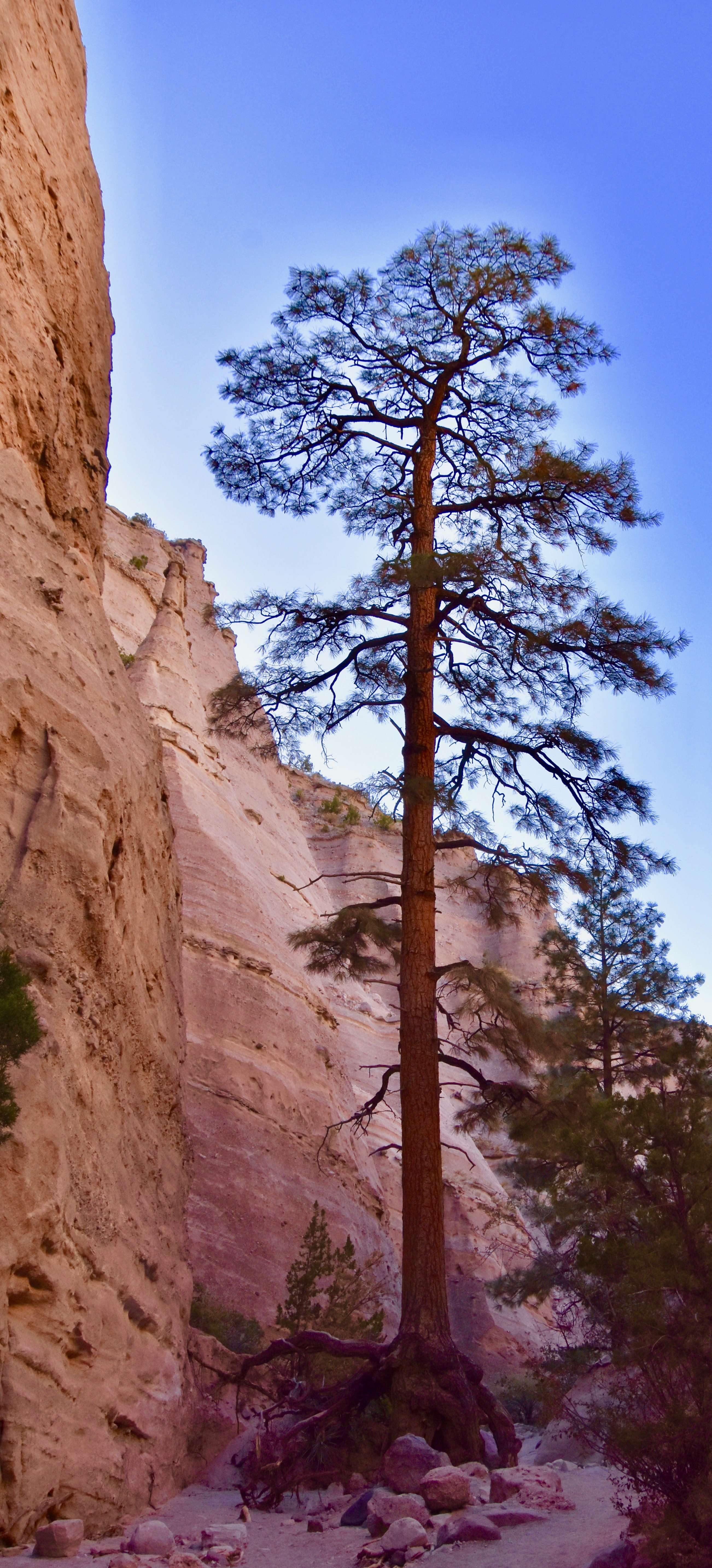
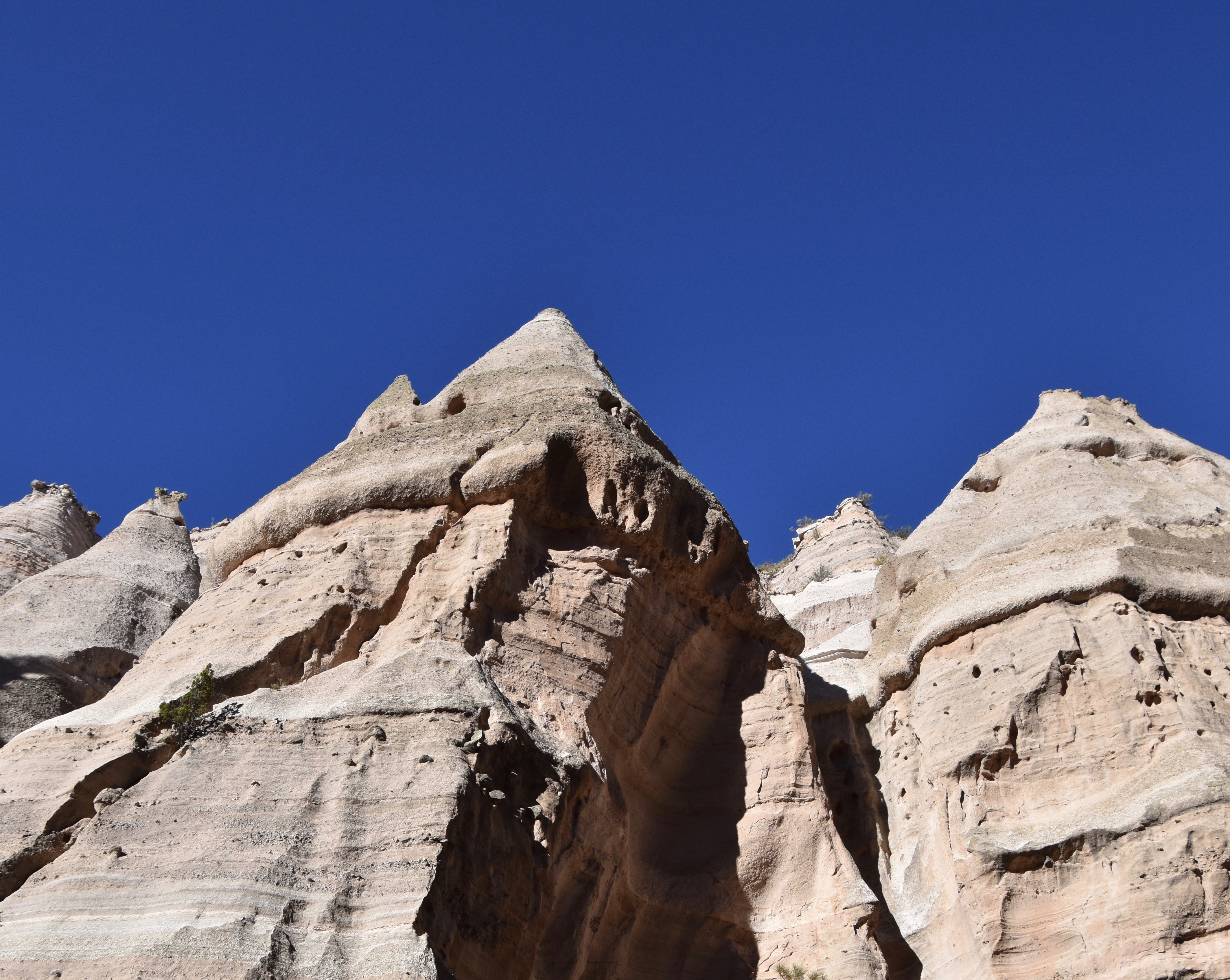
The views looking up are really what make this journey into the slot canyon worth the effort. The tent rocks, like the ponderosa pines, seem to grow straight up from the canyon floor.
You also get a chance to get a much closer look at some of the ones with capstones. Note the darker colour of the actual capstone indicating a much more erosion resistant type of rock. That one at the top looks like it is literally defying gravity. Sadly, eventually all of the capstones will get eroded to the point where they will fall off, but that could be centuries away. I just wouldn’t want to be in the canyon when one did come tumbling down.
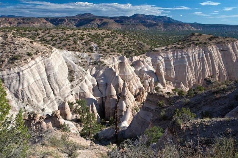
Now I have to make a confession – we did not go all the way to the top. Sitting at my computer now months later, I realize just how stupid it was not to go the extra mile. We had nowhere we had to be and the climb was nothing we couldn’t handle. Dumb, dumb, dumb.
If we had gone to the top this is the view we might have had. Hopefully anyone reading this will not make the same mistake we did. Opportunities like this do not come by every day, especially when you are are over 2,800 miles (4,600 kms.) from home.
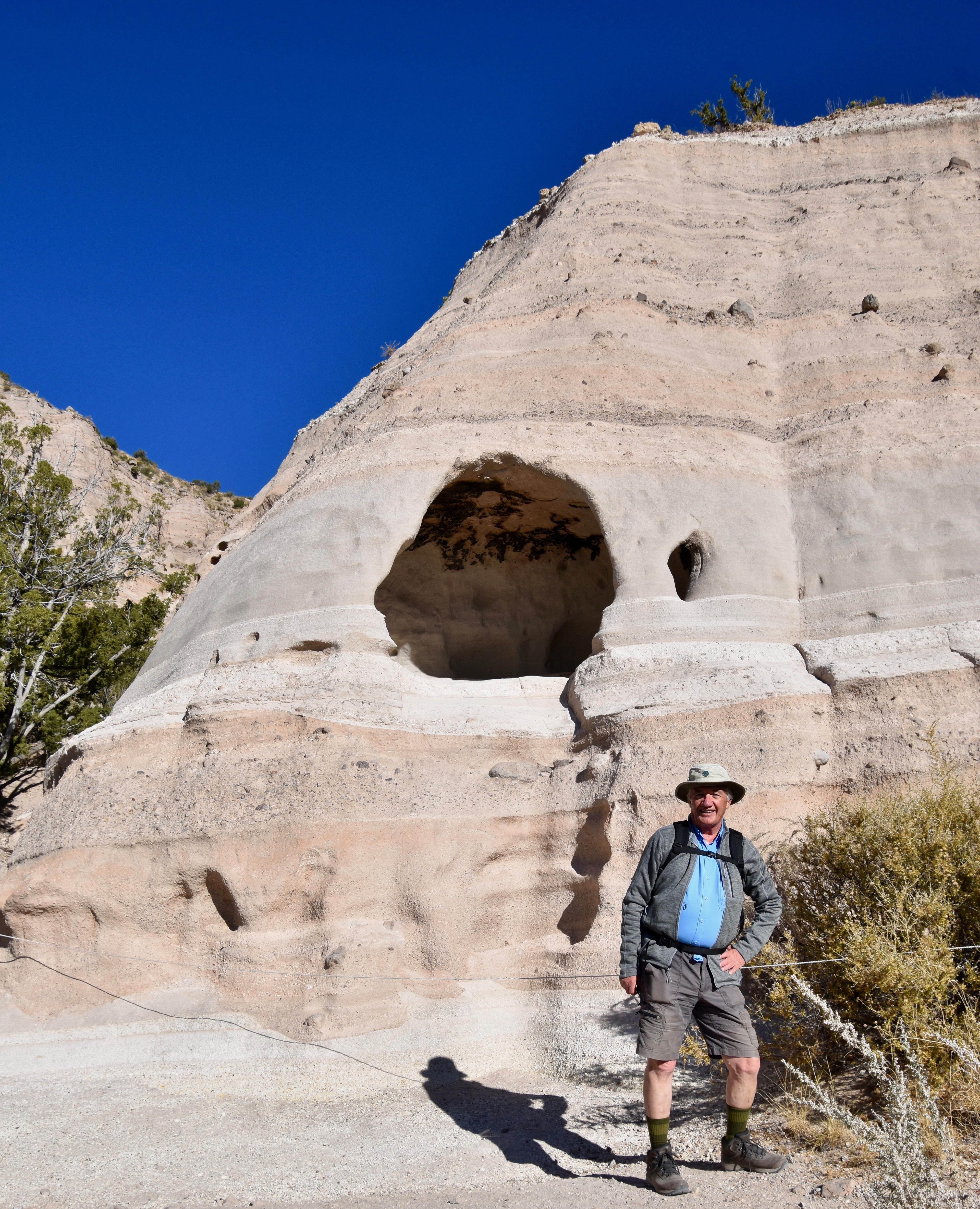
Back on the Cave Loop Trail we came to the reason for the trail’s name, this natural hole in the rock which is technically known as a cavità. While it’s not large you can see the black marks on the ceiling made by smoke from the fires of people who have sheltered here for maybe a thousand years or more.
Some of the most interesting formations at tent rocks are encountered on this trail as it makes its way back to the parking lot. These reminded me of the classic halloween ghost costumes made from white sheets that no one actually ever wore.
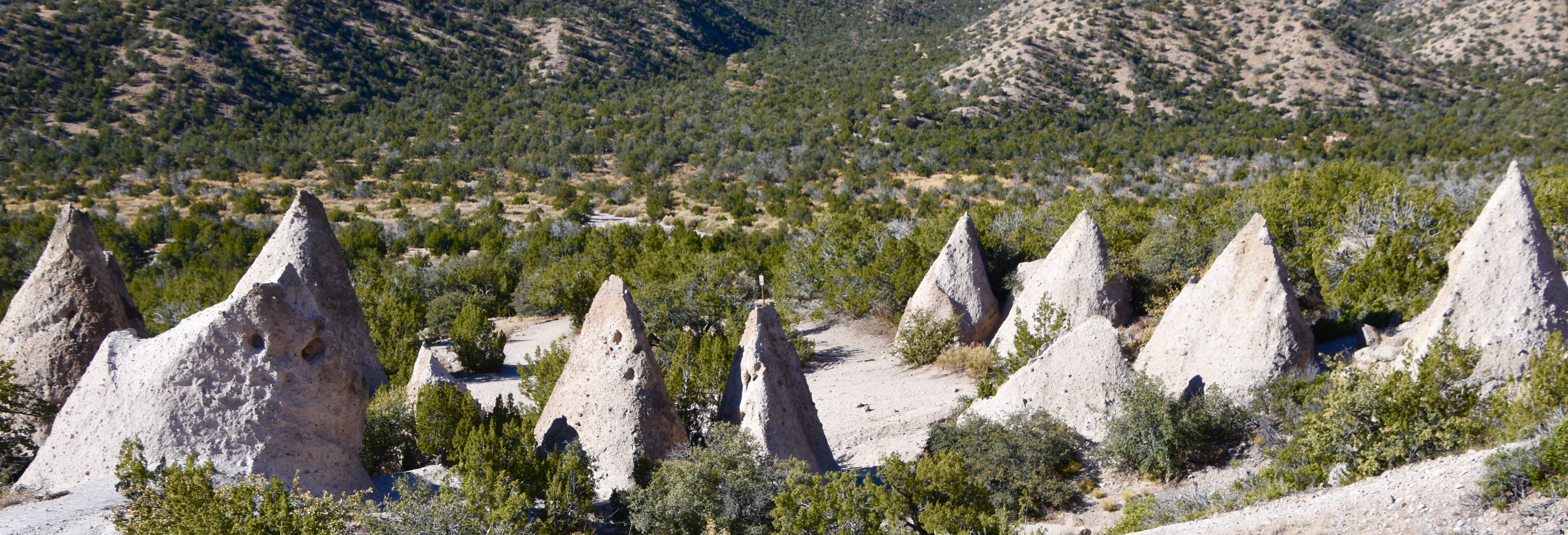 Tent Rock Ghosts
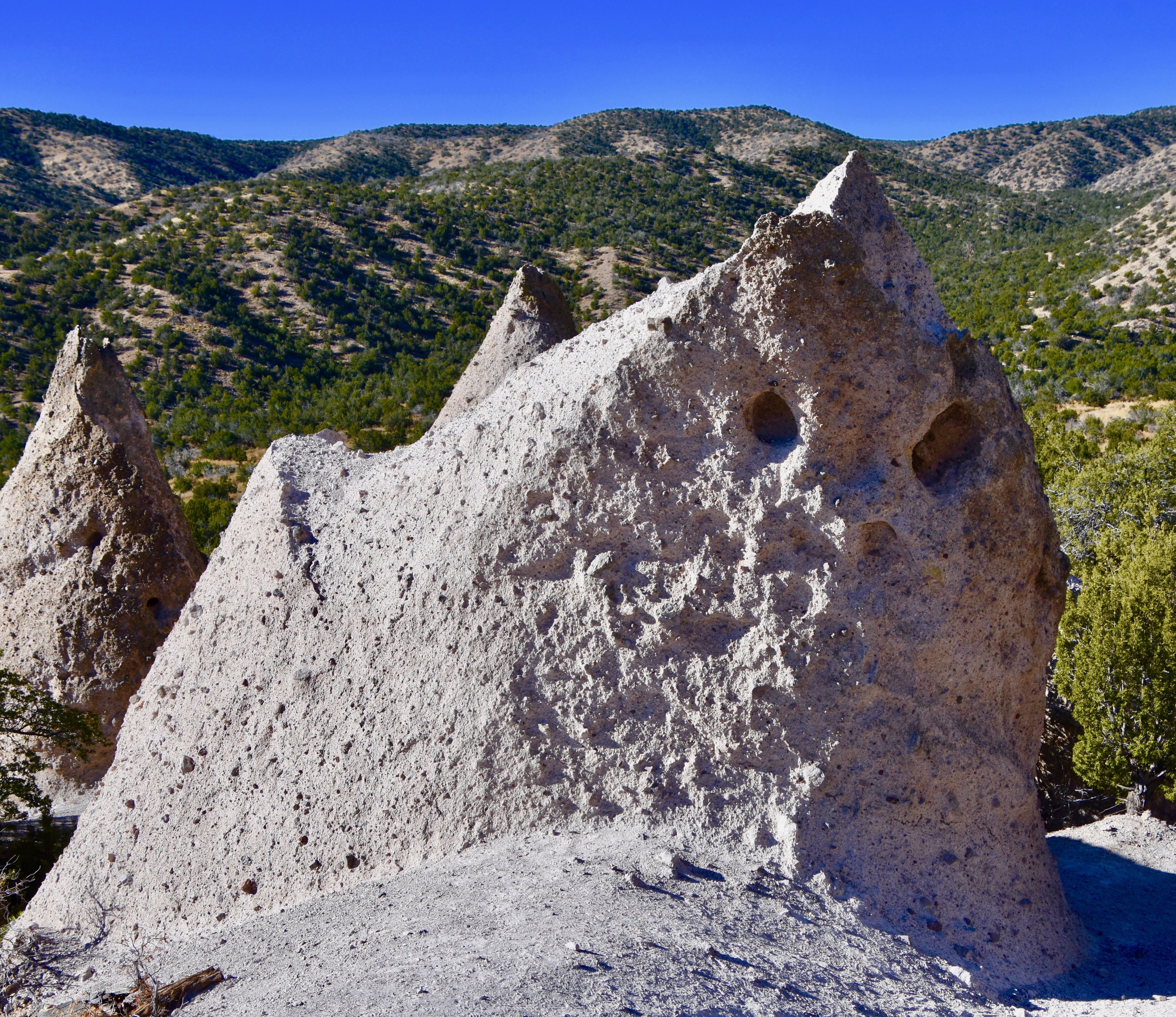
I called this guy The Klansman for obvious reasons.
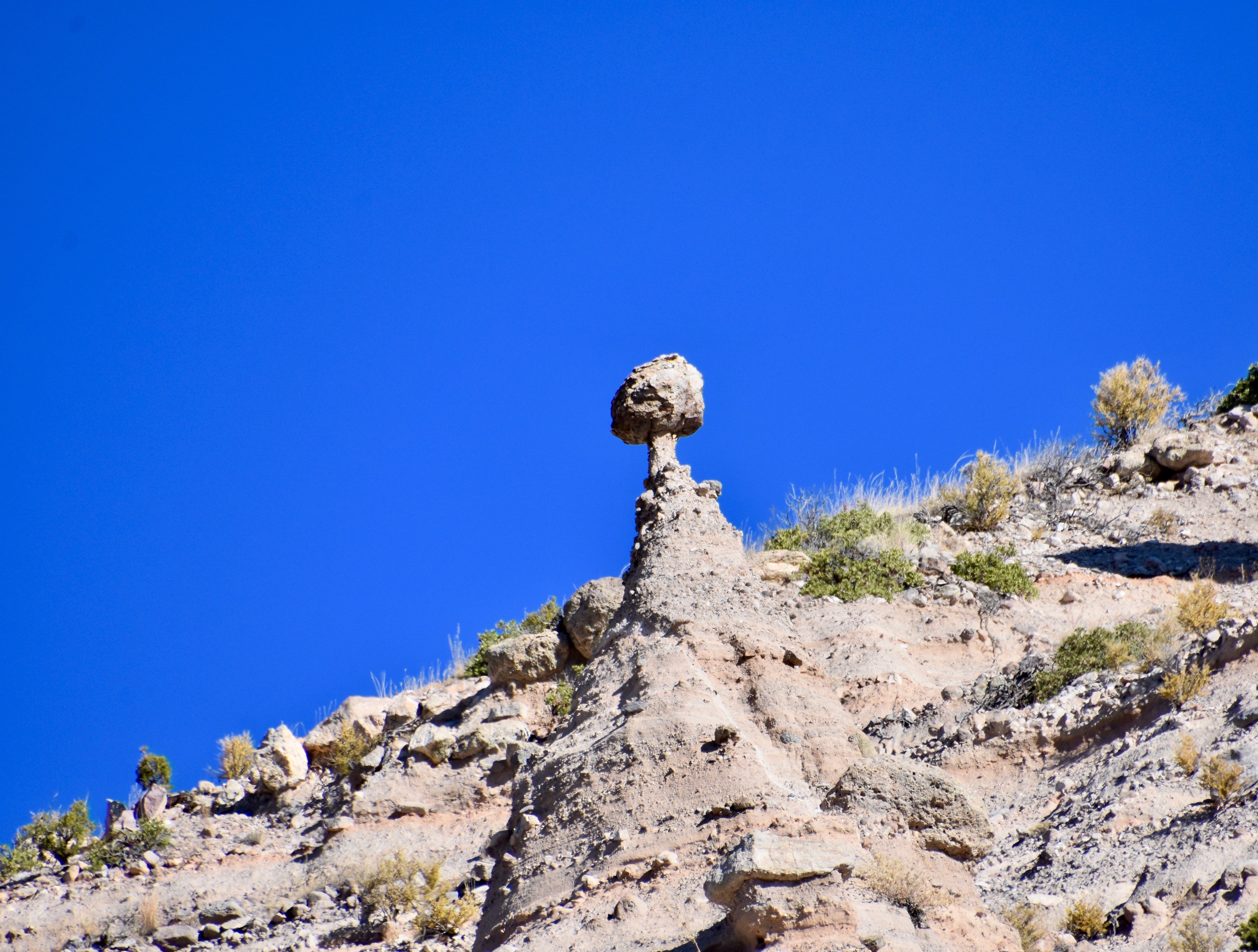
One last look back revealed perhaps the most unlikely looking of all the tent rocks, this guy with the impossibly thin pencil neck and mushroom like head.
I’m really glad we took the time to seek out some of New Mexico’s lesser known National Monuments like Tent Rocks because each and every one provided a unique insight into The Land of Enchantment.
Tent Rocks is closed right now because of Covid-19 – pretty hard to practice social distancing in a slot canyon. But, it will reopen in the foreseeable future and should be on any hiker’s radar.
PS Make damn sure you go to the top!
Our final visit in New Mexico will be to the UNESCO World Heritage Site of Chaco Culture deep in the desert of north west. Please join us.

