Panama Canal Half Passage

Ever since I was a boy first reading about the Panama Canal, how difficult it was to build and how it changed the world, I have wanted to see it. Well, not just see it, but be on a boat that went through the locks and passed the infamous Culebra Cut into Lake Gatun. There was only one problem – doing this usually involves making the passage on a cruise ship and I would rather be buried alive than be a prisoner on one of these ‘floating cities’.
The other alternative is to go to the visitor center and just watch, like these people. Wow, does that look exciting!
Alison and I were already booked on a trip to Colombia with our favourite tour company, Adventures Abroad out of Vancouver, when I checked their website and found that they offered a trip to Panama which included a day on the Panama Canal that did not involve a cruise ship. It also included visits to Porto Belo and old Panama City which rekindled my lifelong interest in two famous Englishmen, Sir Francis Drake and Captain Morgan, but that’s for another post. Bottom line – Panama, here we come!
History of the Panama Canal
Herewith, a very brief history of the canal, just in case you’ve never heard of it. If you click on the link, you can get the unabridged version. The distance between the Atlantic and Pacific Oceans on the Isthmus of Panama between Colon on the Atlantic side and Balboa on the Pacific side is only 50 miles (80 kms.) . Without a canal it is 8,000 miles (12,874 kms.) which includes the treacherous passage through Cape Horn. It doesn’t take too many brains to figure out that a canal makes imminent sense – Charles V of Spain, way back in 1534 was the first to look for a way to build it.
Ferdinand de Lesseps, coming off the triumph of completing the Suez Canal in 1869, was the first to make a serious effort to build the canal, starting in 1882. He failed miserably for three reasons. He wanted to make a straight sea to sea cut without locks, he couldn’t stop the landslides that resulted from trying to do it without locks and most importantly, he couldn’t stop his men from dying of malaria and yellow fever.
After de Lesseps, the Americans stepped in and offered to build it for the Colombians. Before you say, “Hey nitwit, the canal is in Panama.” remember that Panama was a province of Colombia when the offer was made. I’m sure, to their everlasting regret, the Colombians said “F U” to the U.S. offer and Teddy Roosevelt immediately sent warships to Panama which declared its independence. There wasn’t much Colombia could do about it. The newly independent Panamanians eagerly agreed to the U.S. terms which included ceding them control of a five mile strip on either side of the canal for perpetuity.
The Americans succeeded where the French didn’t, by building a lock based system and finding ways to combat yellow fever and malaria. Estimates are that up to 25,000 workers died under the French regime while a mere 5,609 expired during the American building campaign. Obviously the OSHA wasn’t around to protect them from 1904 to 1914 when the canal officially opened.
The U.S. ran the canal up until 1999 when full ownership of the canal and the land around it was ceded to Panama in a deal many Americans still think should not have happened. Turns out the Panamanians were quite capable of operating the canal on their own and in 2016 a second set of locks capable of handling the largest ships in the world was opened. I was particularly interested in seeing these in operation.
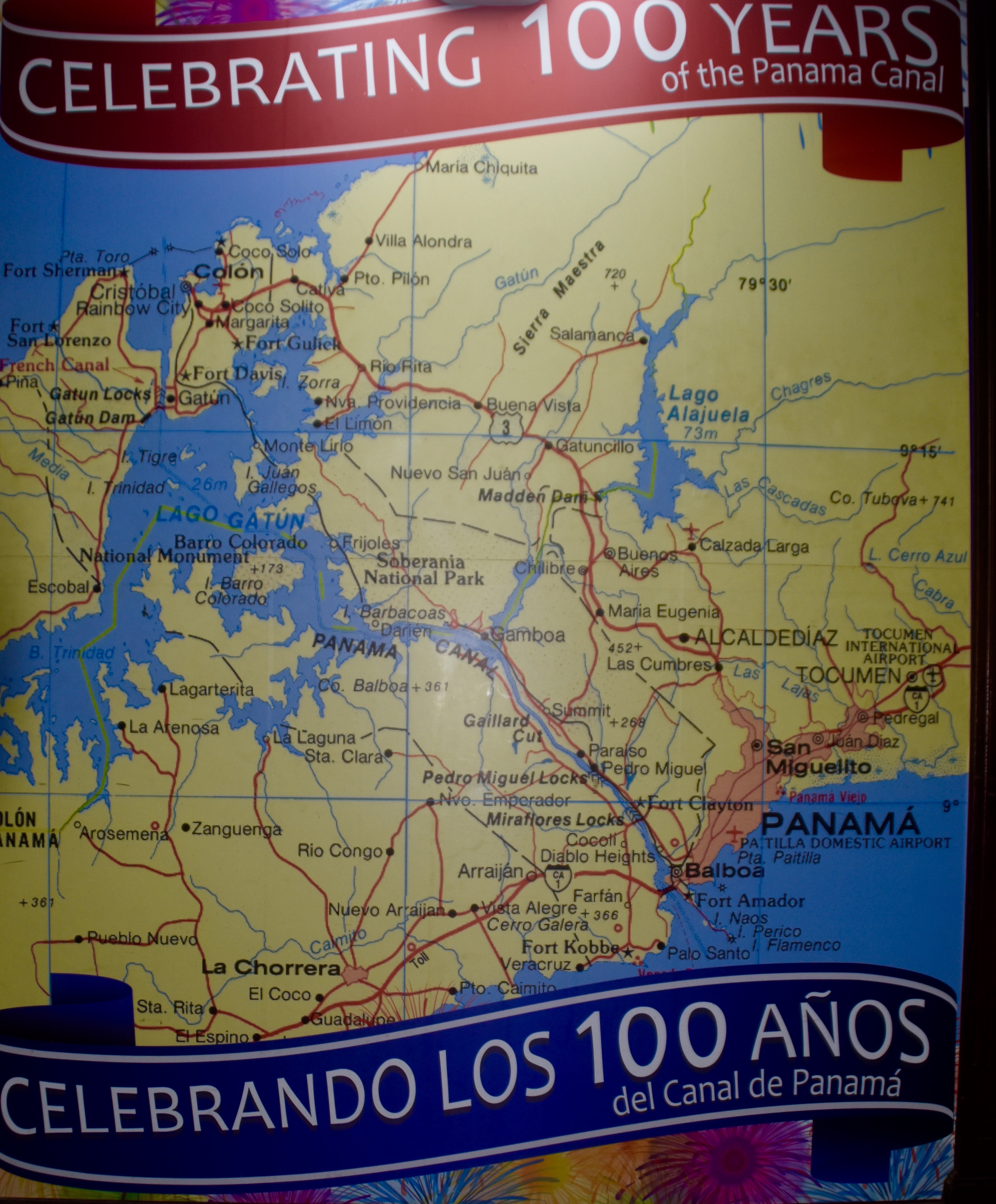
Below is a map of the canal which is on the boat we took for the passage. The journey starts on that finger of land sticking out under Balboa, rounds the point and enters the canal just before the Bridge of the Americas. We will go through both the Miraflores and Pedro Miguel locks. After the locks we pass through the Culebra Cut (also called the Gaillard Cut as shown on the map) and then disembark at Gamboa and take a bus back to our hotel in Panama City. OK, let’s go.
The Pacific Queen
Our Adventures Abroad guide Andrés Fernandéz has booked us on the Pacific Queen, a tour boat operated by Panama Marine Adventures. As far as I can tell from my research on the web, there are only a couple of companies that offer these half passages through the canal so if you’re doing this on your own, make sure you have reservations.
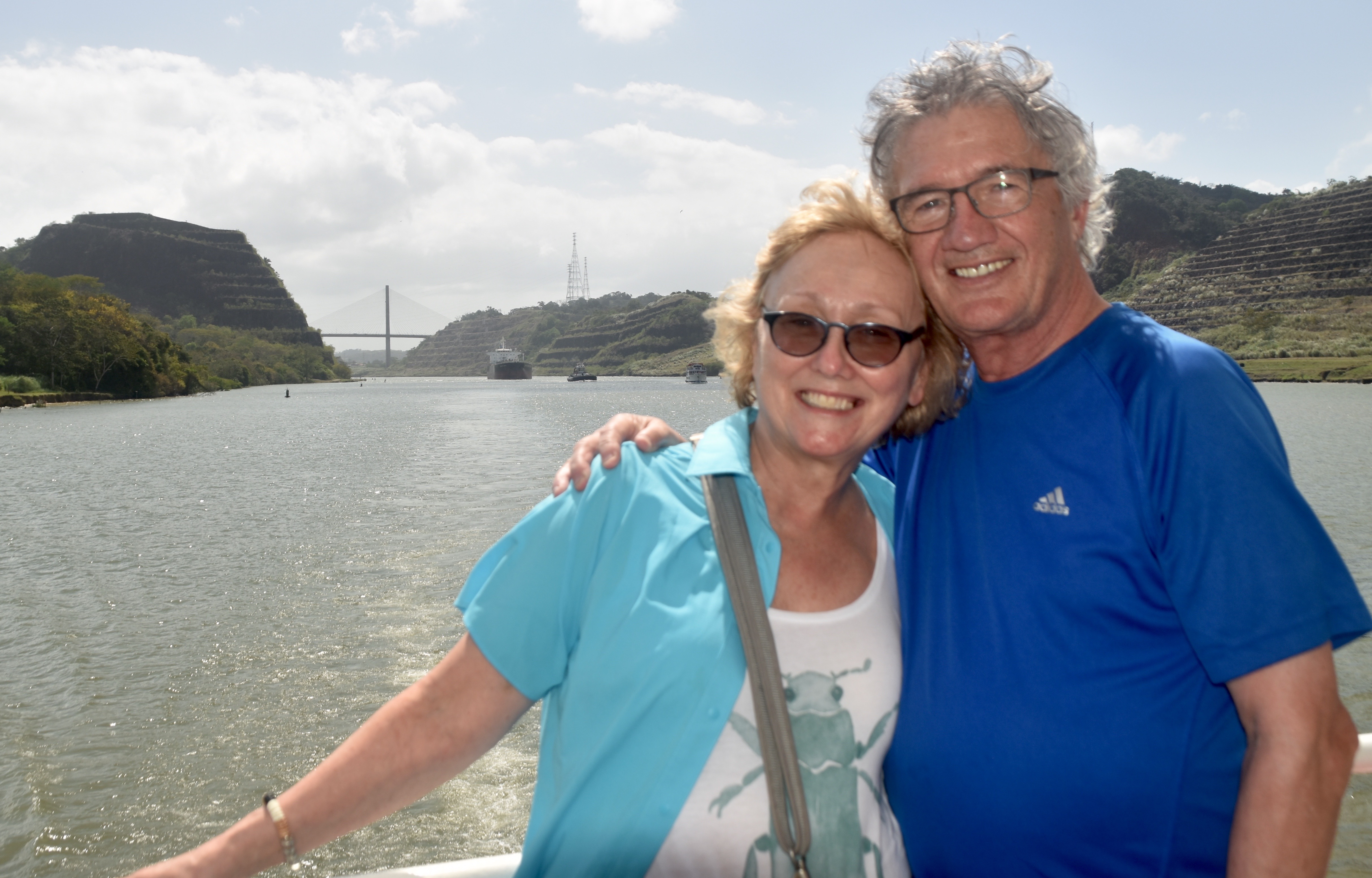
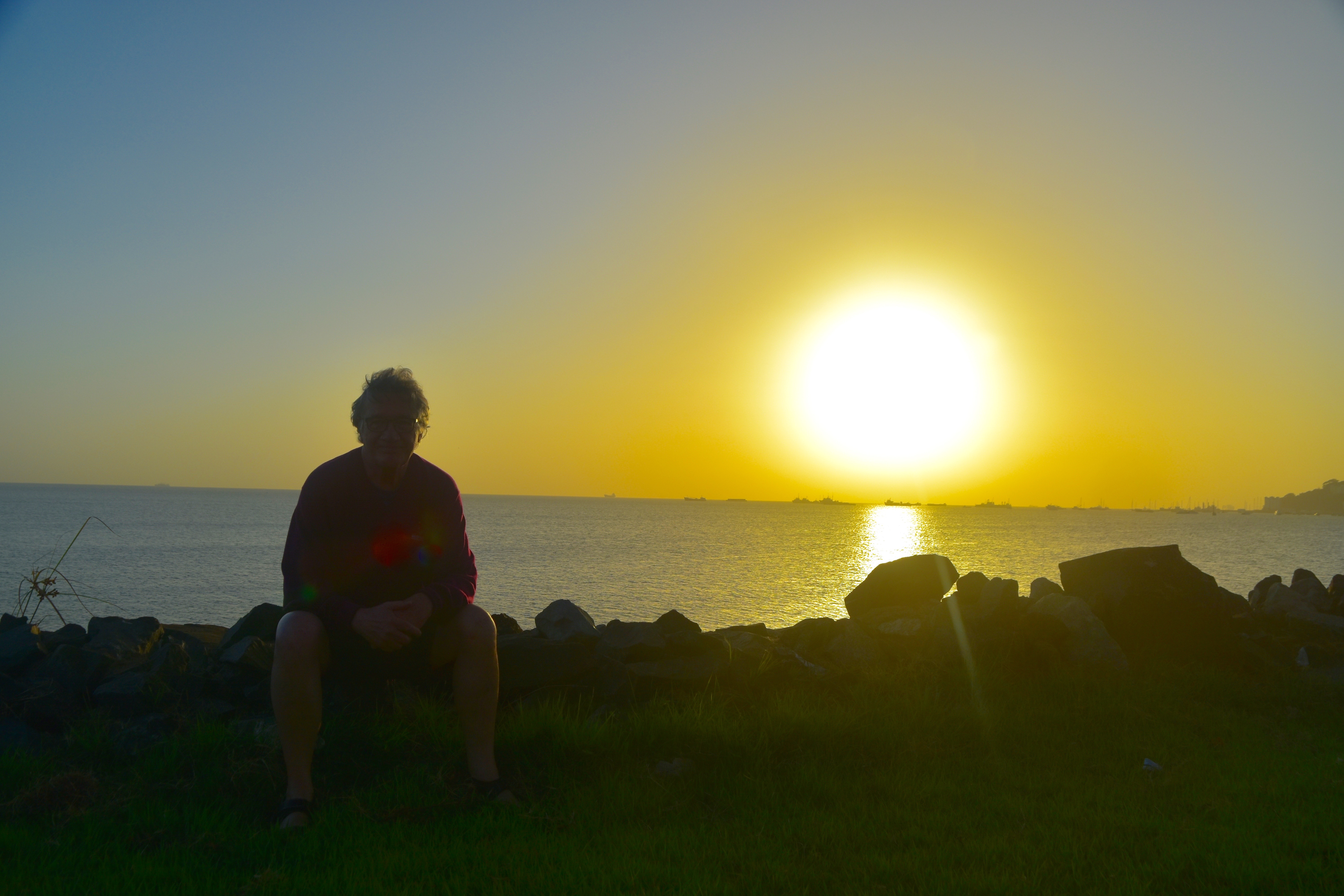
We leave our hotel at daybreak and halfway out the isthmus we stop to watch the sun rise. Now if you look at the map above you’ll see that Panama City is on the Pacific Coast and we all know that on the west coast that’s where the sun sets. So this must actually be a picture of a sunset right? Wrong. The sun is rising over the Pacific Ocean just behind me. No matter which way I turn a map of Panama, I still can’t figure it out, but trust me, it’s true. Also, note the line of ships on the waterline waiting to enter the Panama Canal.
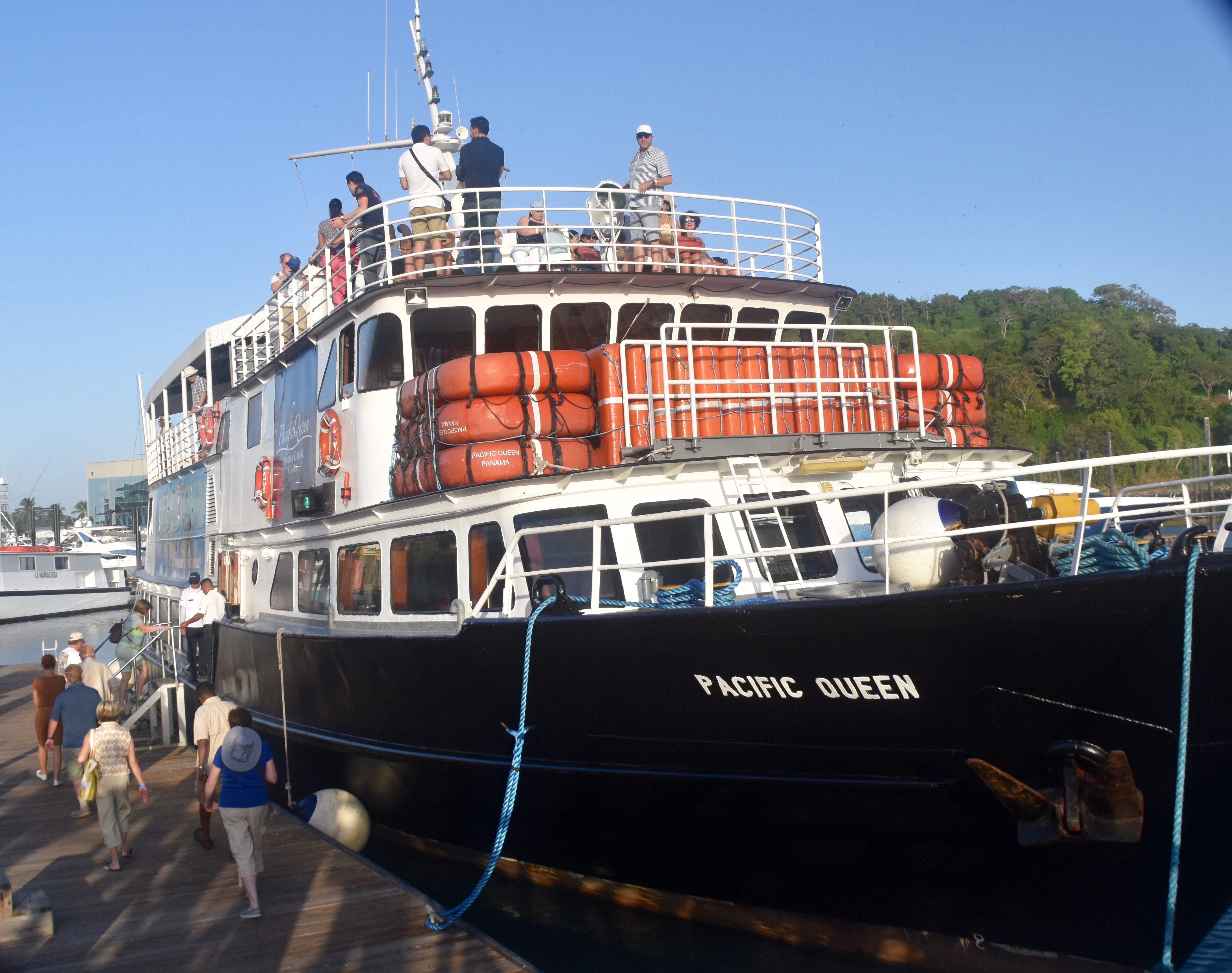
Here’s our boat, the Pacific Queen and thank God, it’s not a cruise ship – not even close. It is however, packed. Both breakfast and lunch buffets are offered on these cruises and the food wasn’t all that bad.
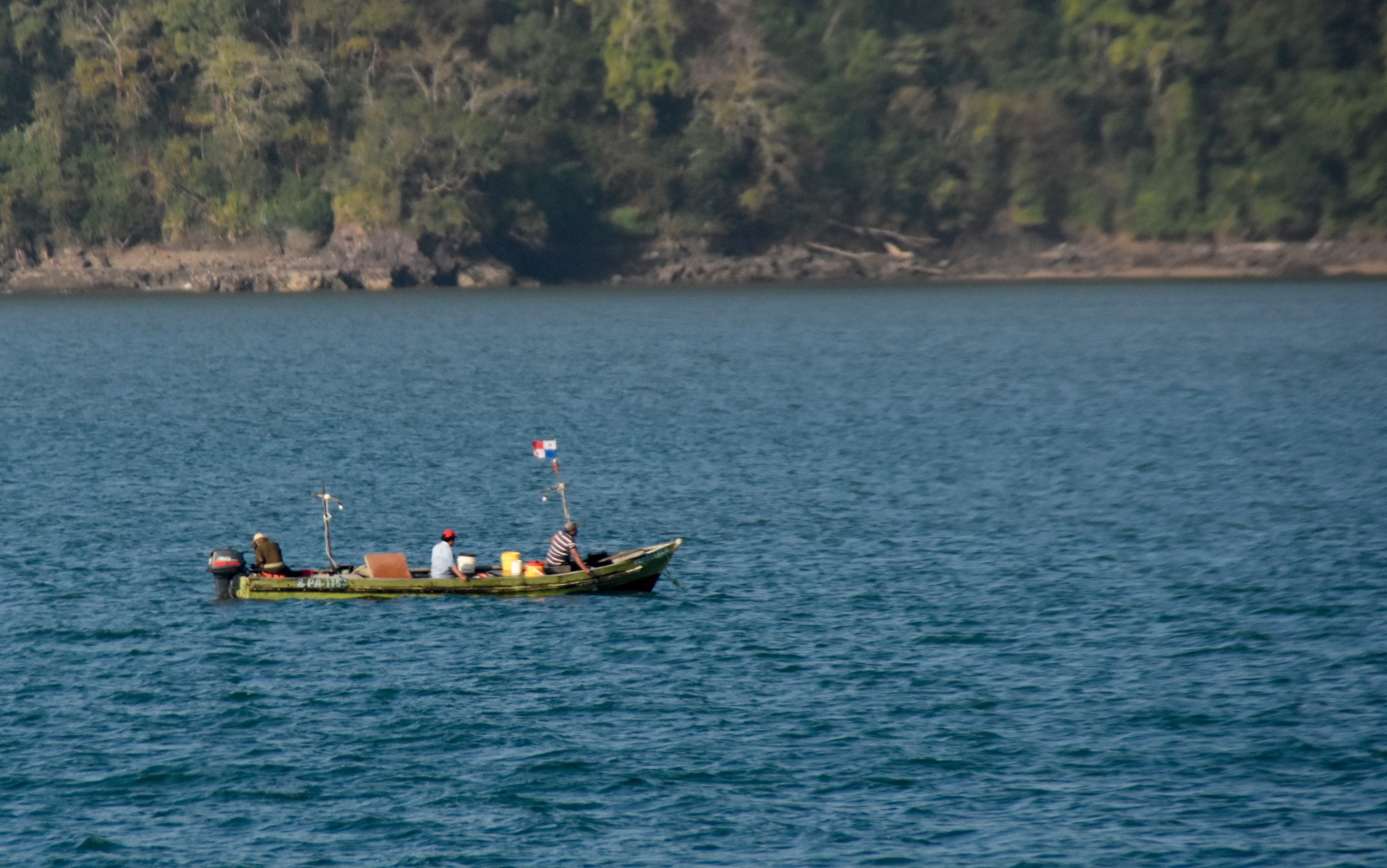
At last we are off on an absolutely gorgeous Panamanian morning. There’s lots to see even before we get to the canal entrance including these fishermen.
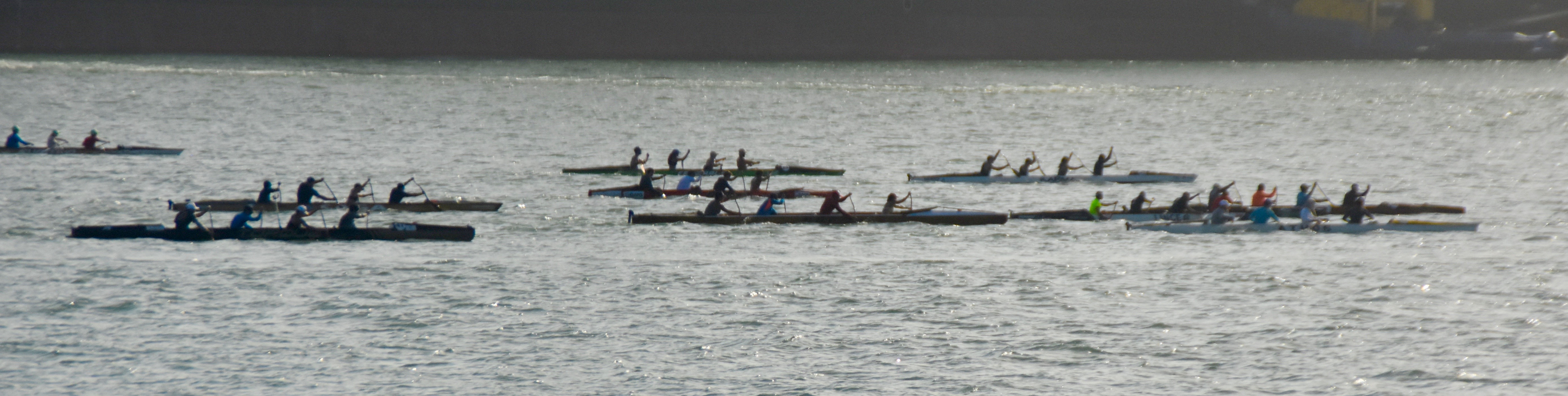
And a fours canoe race.
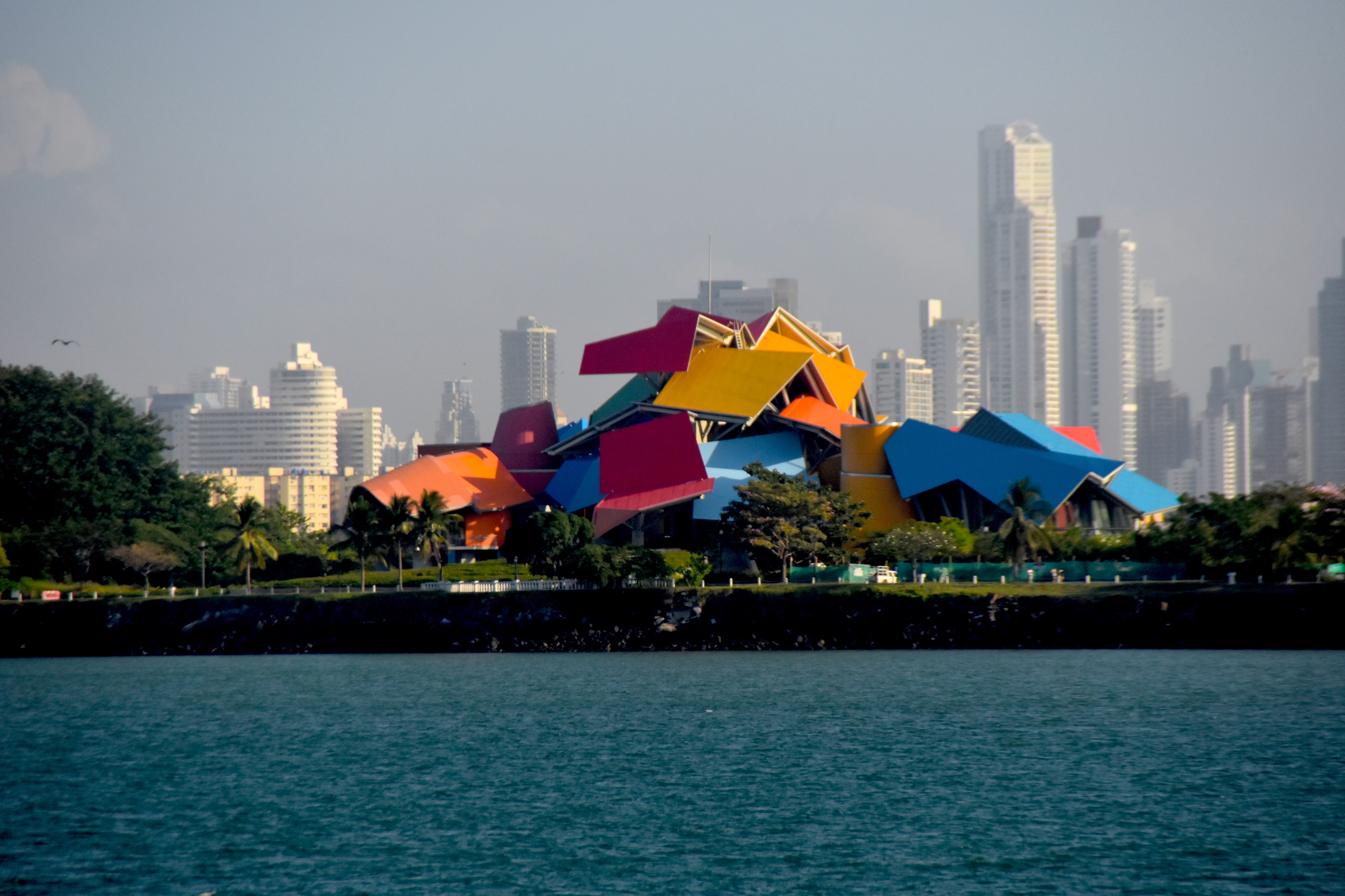
And the colourful Frank Gehry designed Museum of Biodiversity with the commercial spires of modern Panama City in the distance.
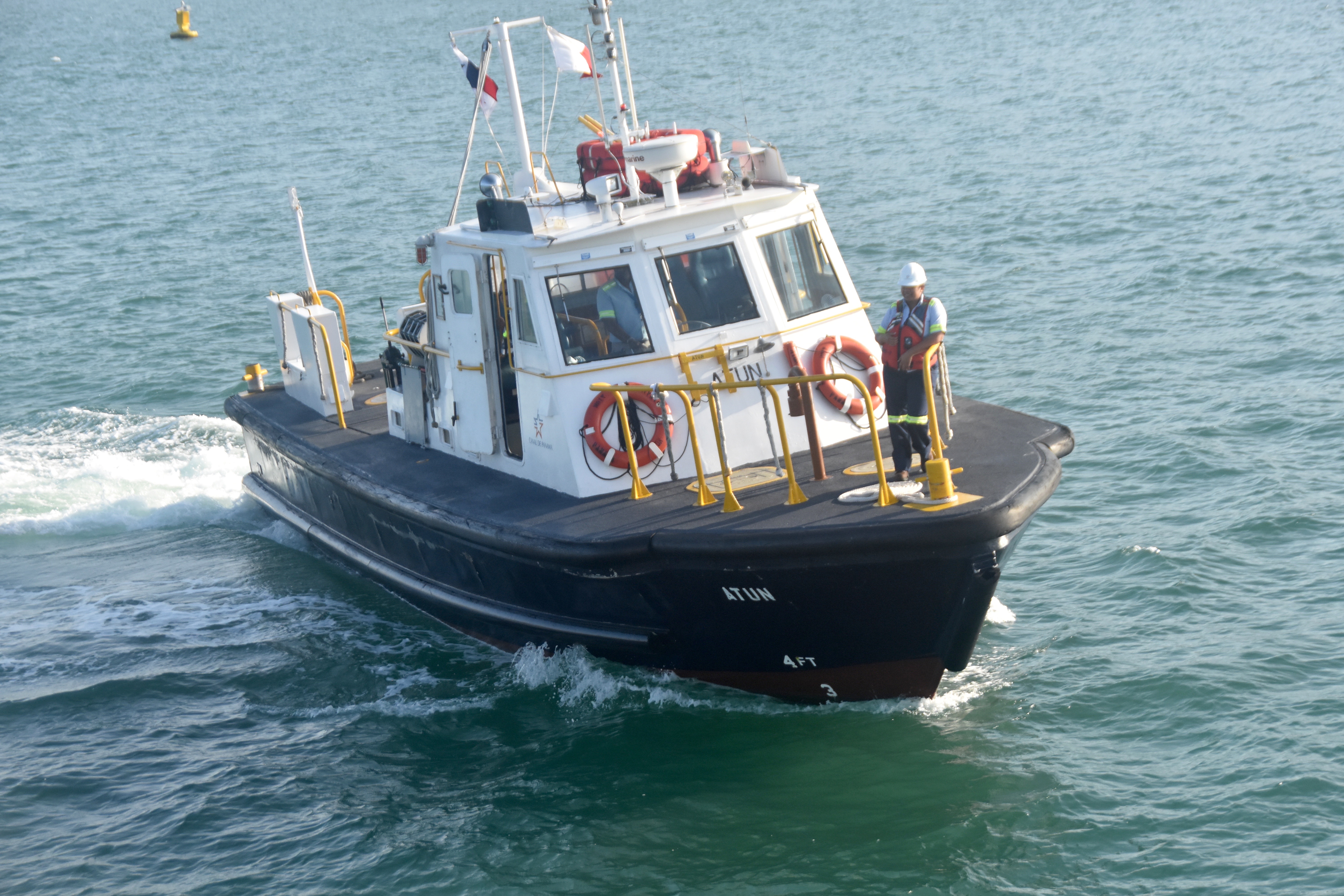
I’ve never been on a tour boat before that actually had to get sailing orders from a pilot, but that’s exactly what happens as we stop briefly to get same from the pilot boat. The captain explains that there are two parallel sets of locks we will pass through and the pilot’s orders tell us which lock to enter and with what other boats.
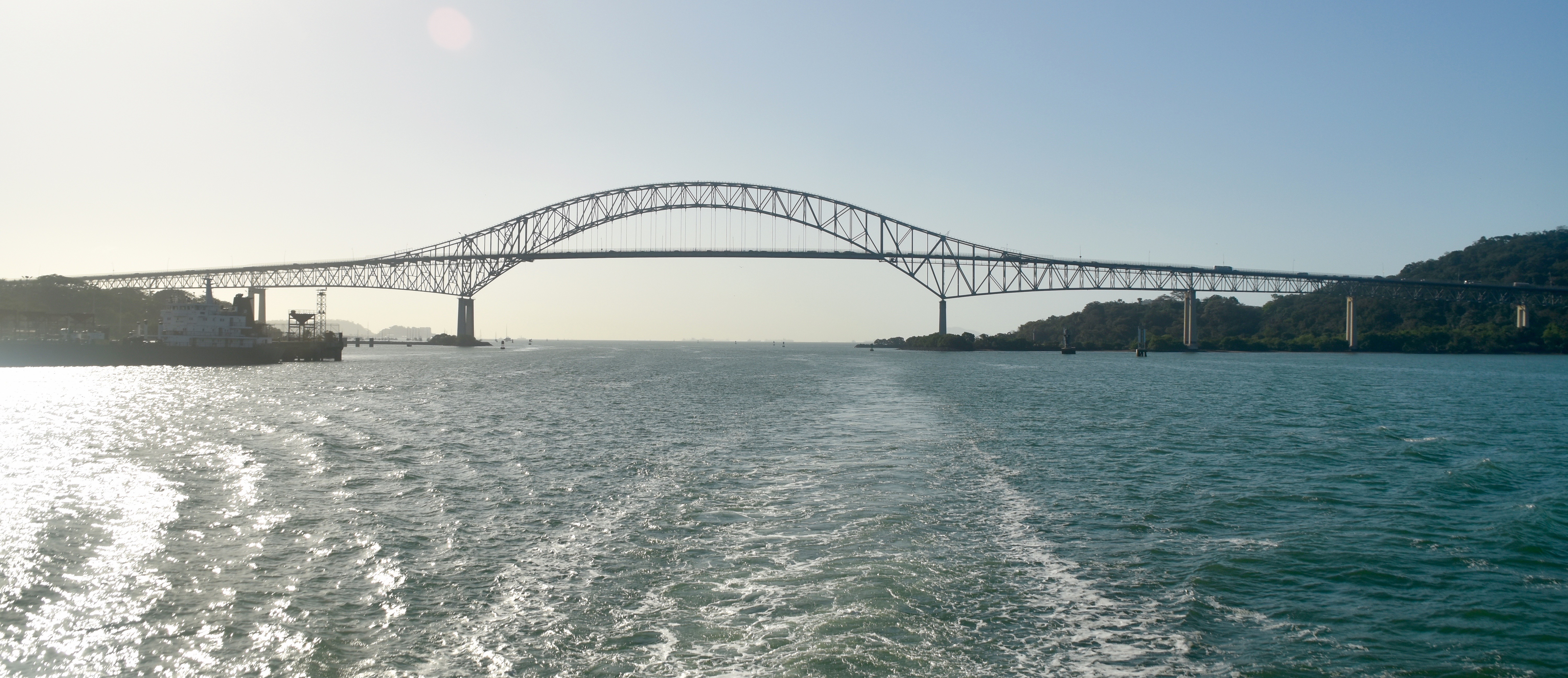
Next up is the entrance to the Panama Canal with the Bridge of the Americas in the distance, and yes I took this picture after we passed because of the light, but the view approaching the bridge is essentially the same.
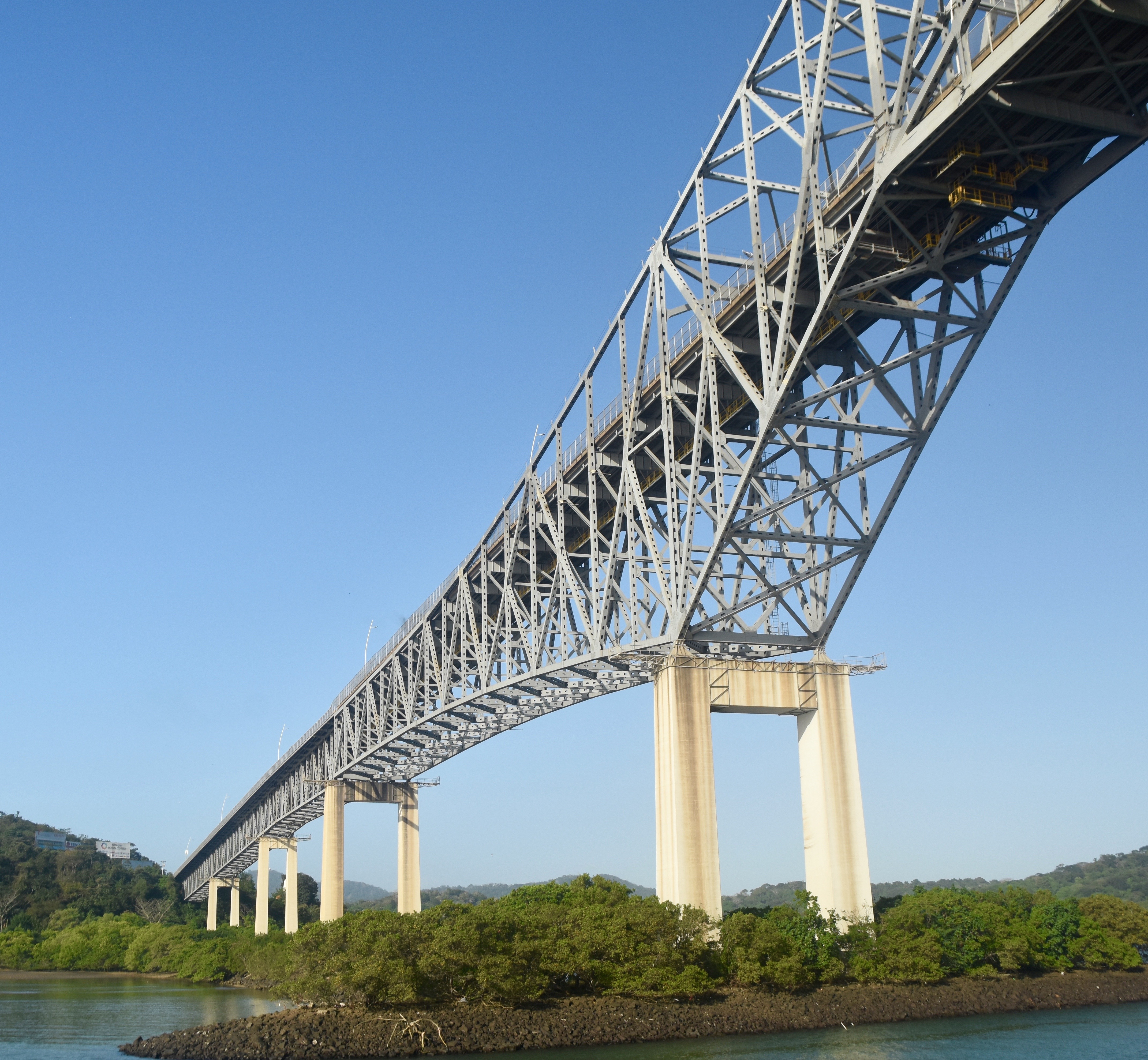
Going underneath this bridge was a very neat experience; after all, most of us are used to doing it the other way around.
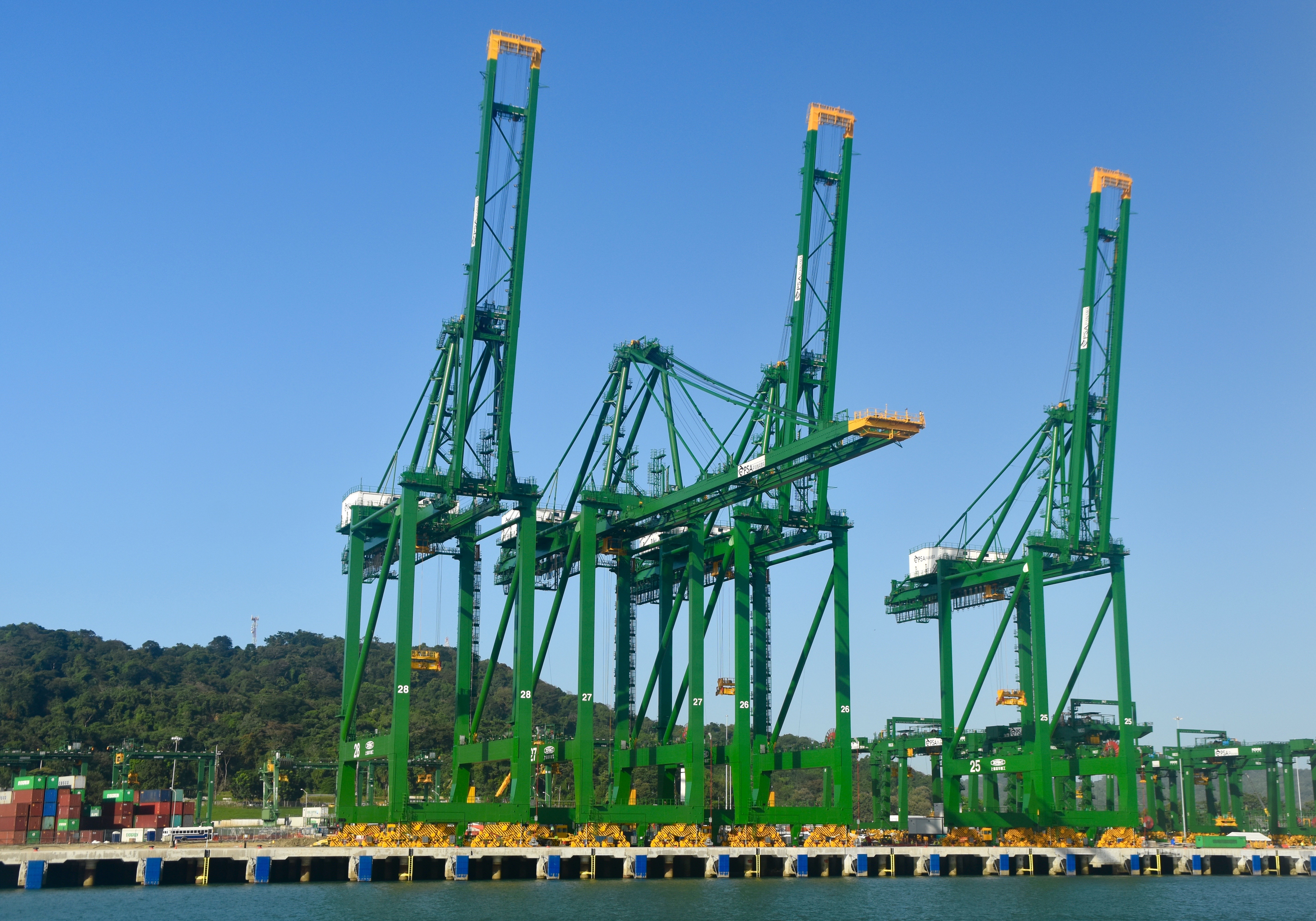
Just past the bridge is an enormous container terminal with cranes built to load and unload the biggest ships in the world.
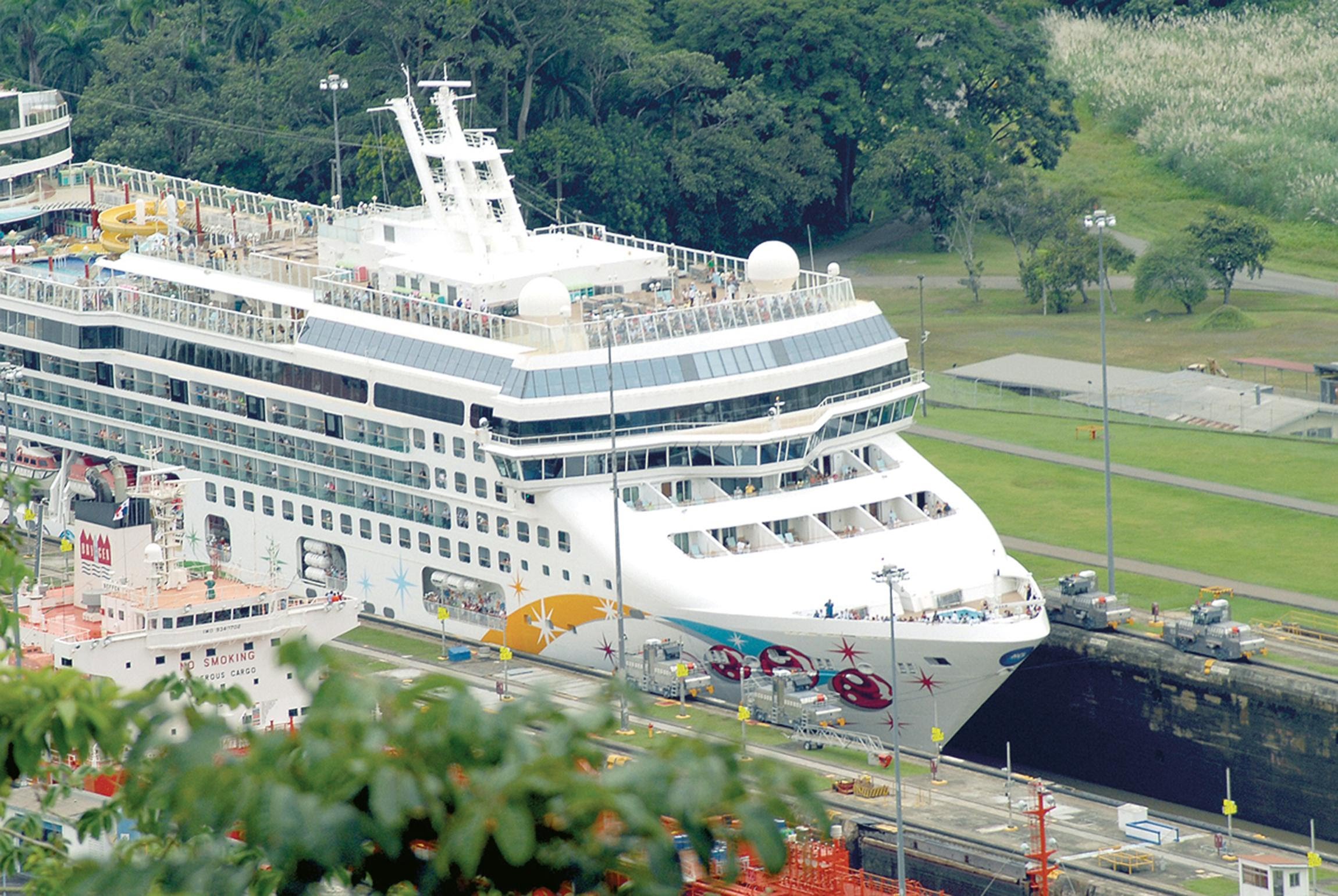
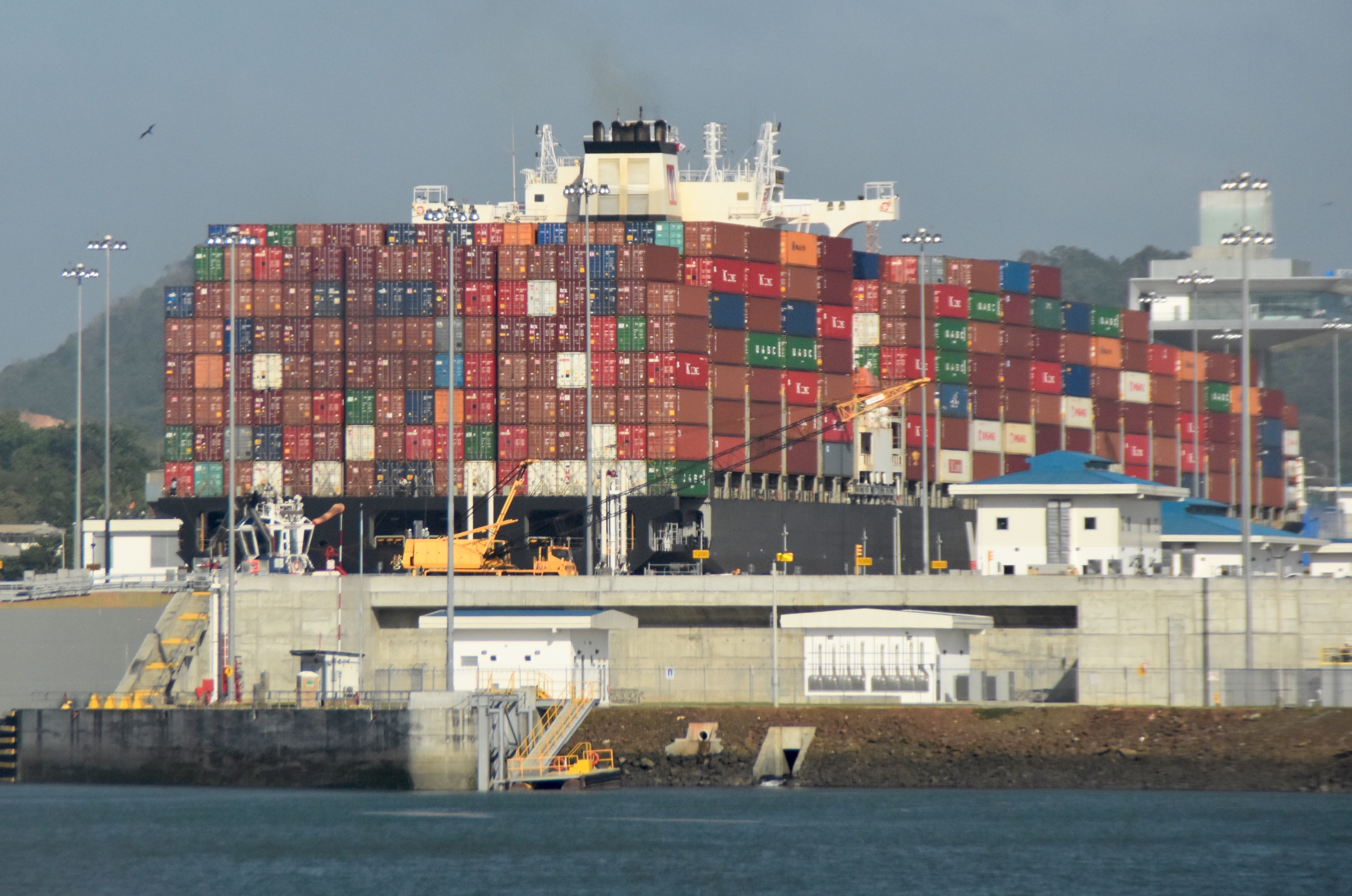
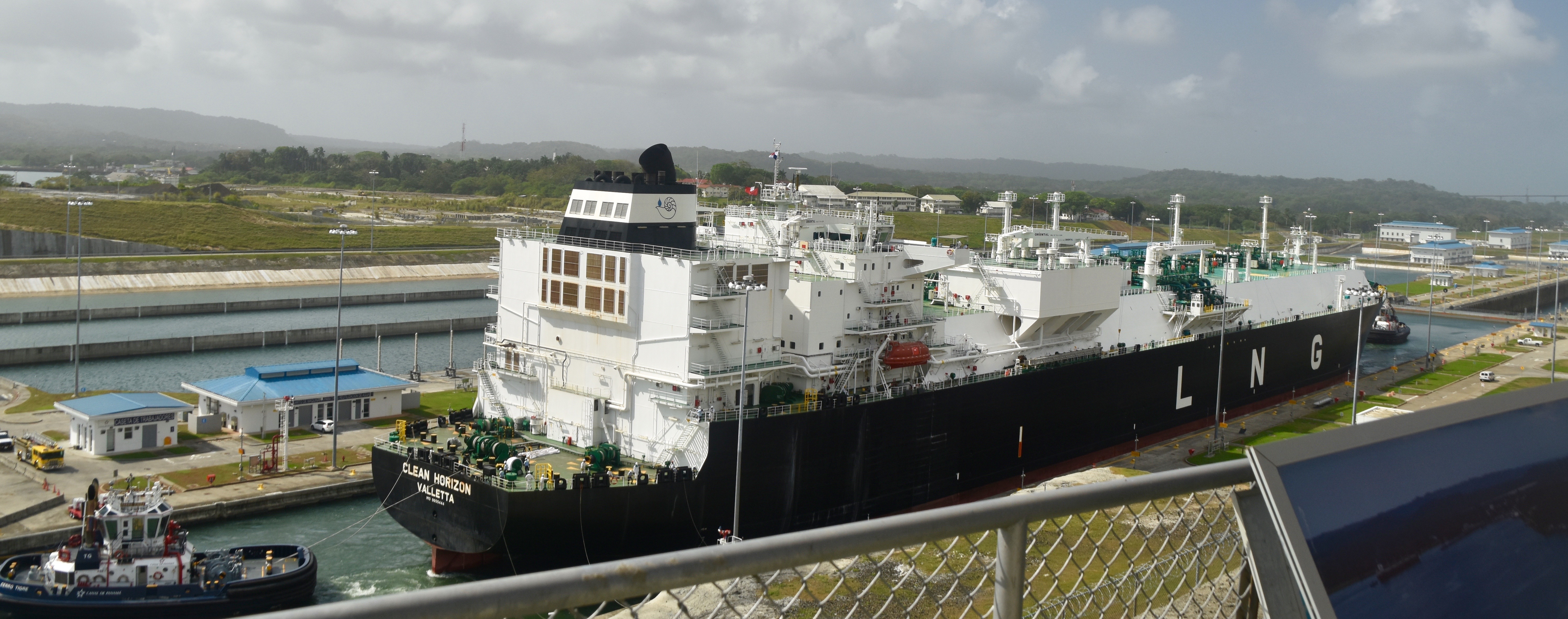
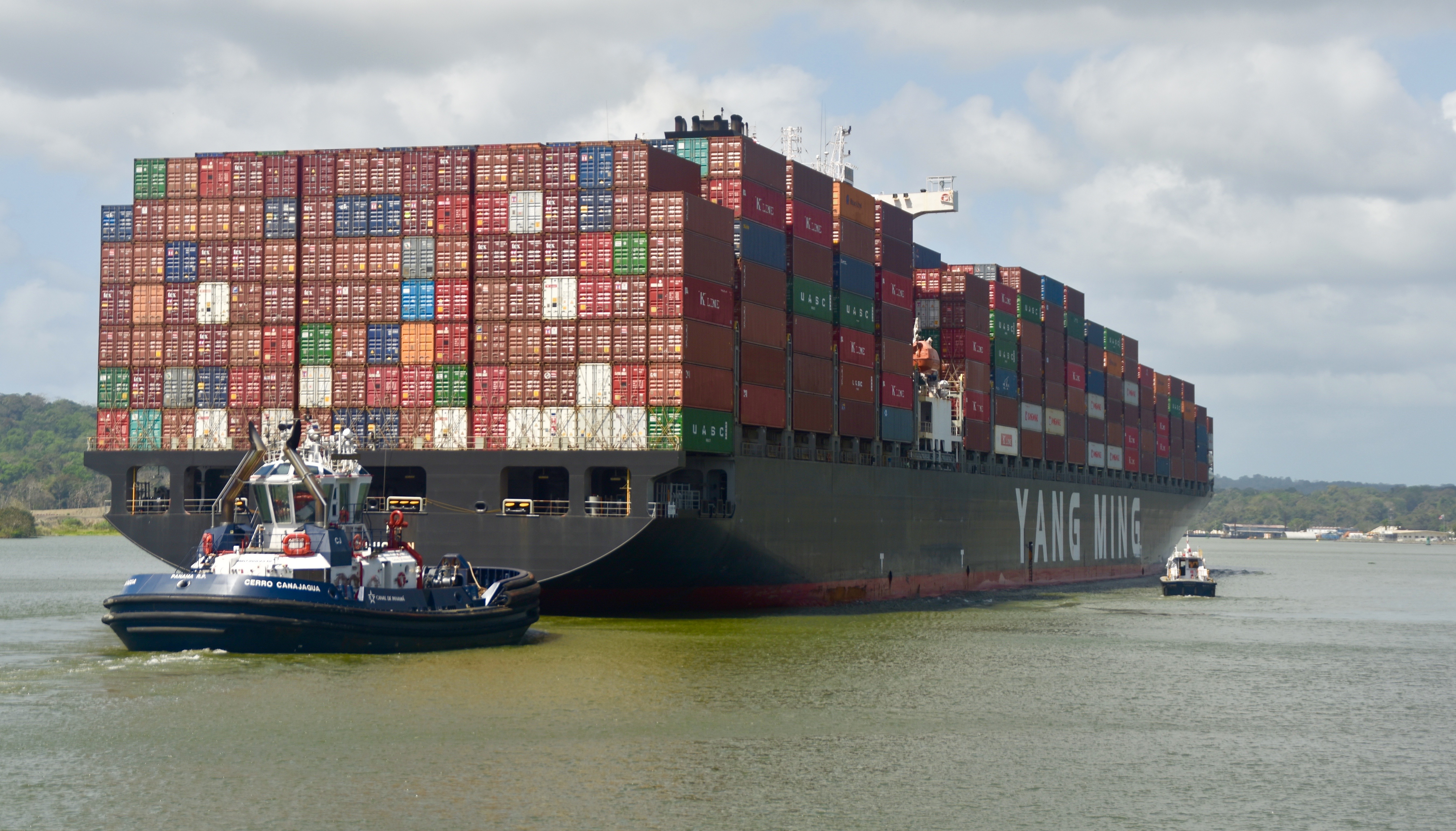
And then the first set of locks, the Miraflores which will lift us 54 feet in several stages. Beside us is this ginormous container ship entering the new locks which are far wider than the ones we are entering.
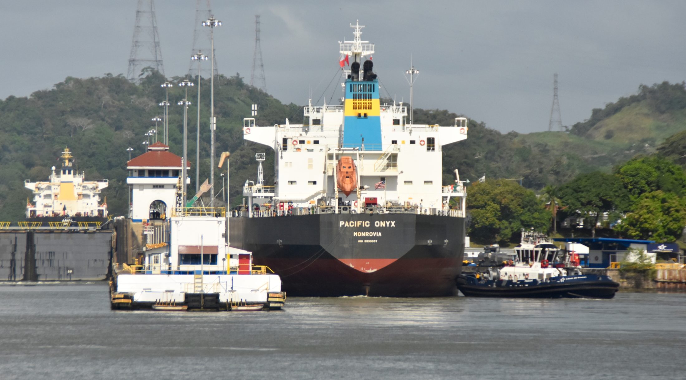
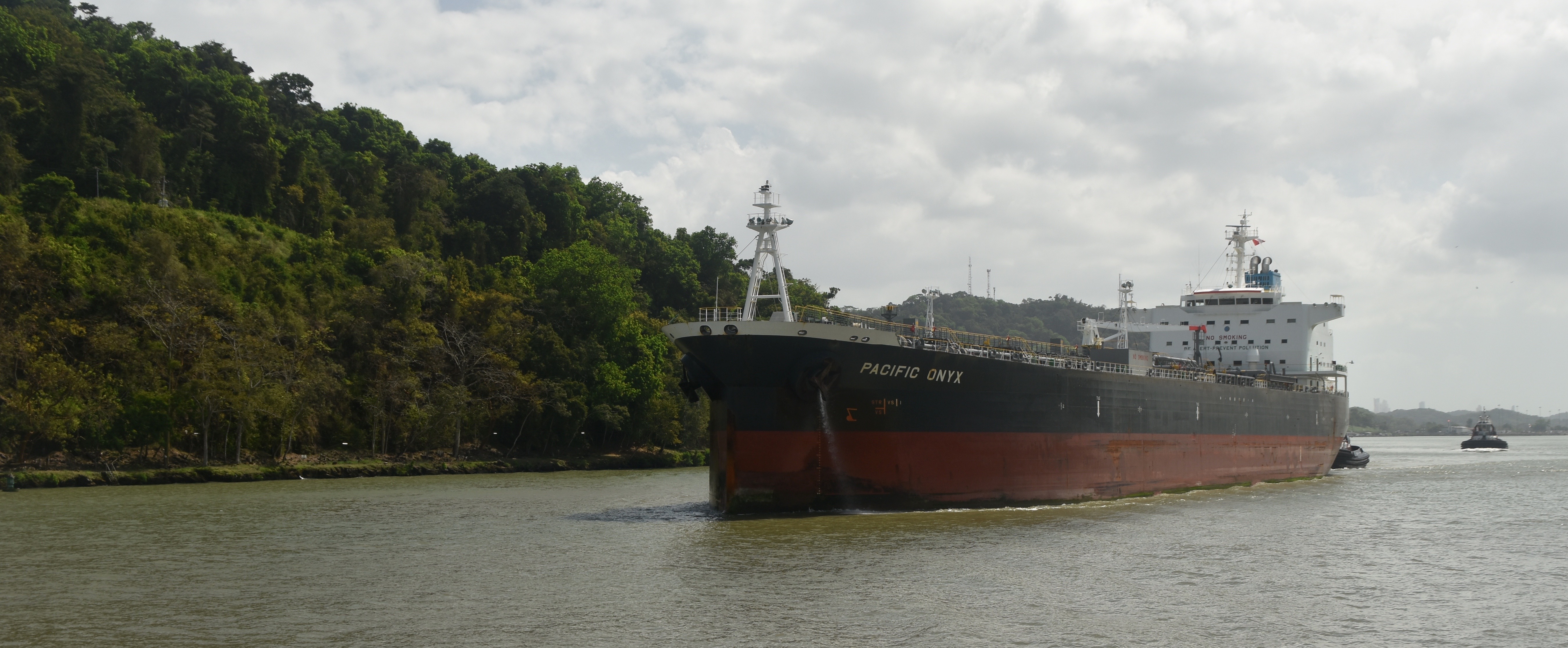
On the other side of us as we wait our turn another huge ship, the Pacific Onyx, enters the parallel set of the old locks.
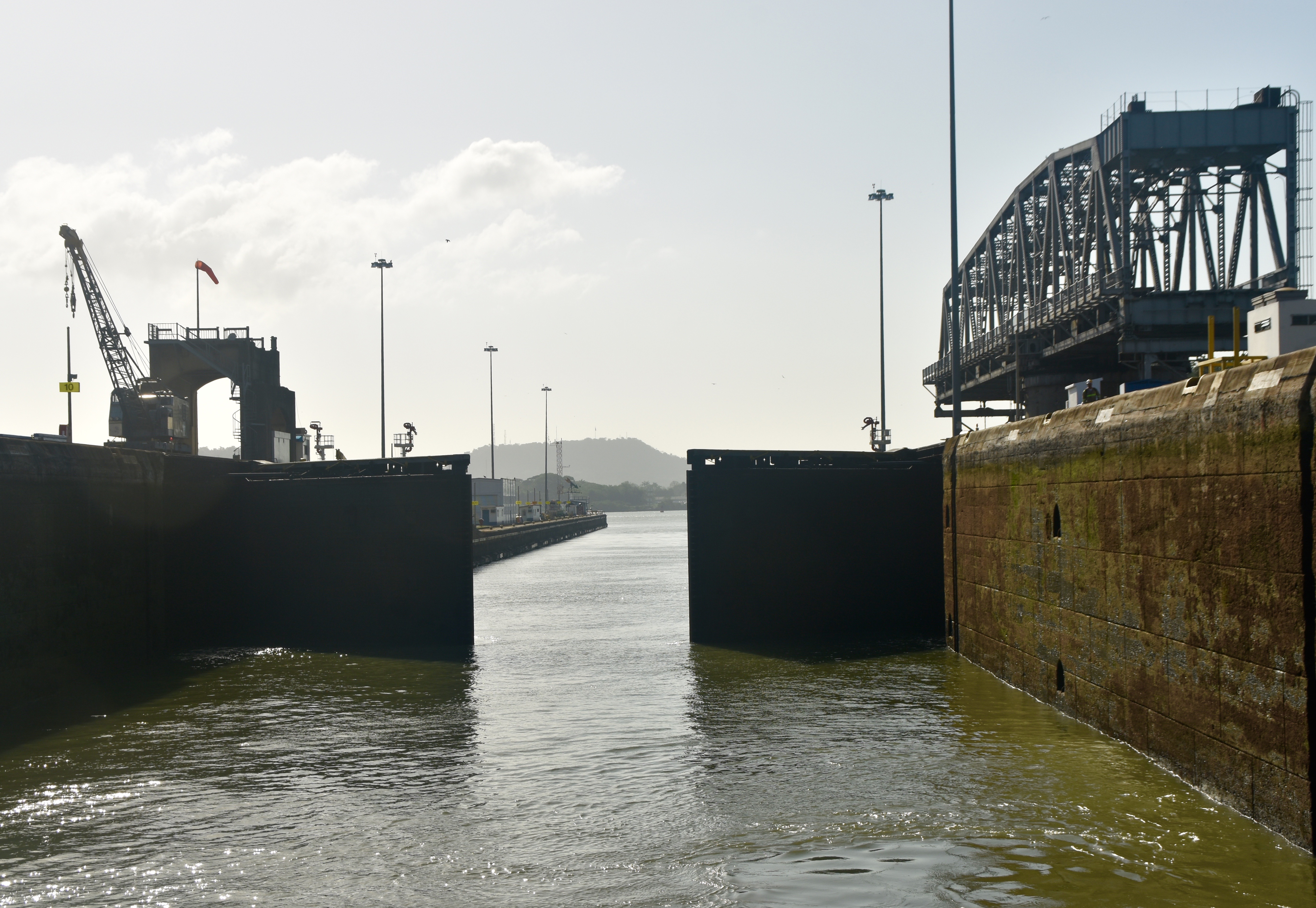
Finally, it’s our turn and we enter the first lock. Here are the gates closing behind the Pacific Queen.
A few minutes later the lock has filled and we enter the next lock which takes us up again.
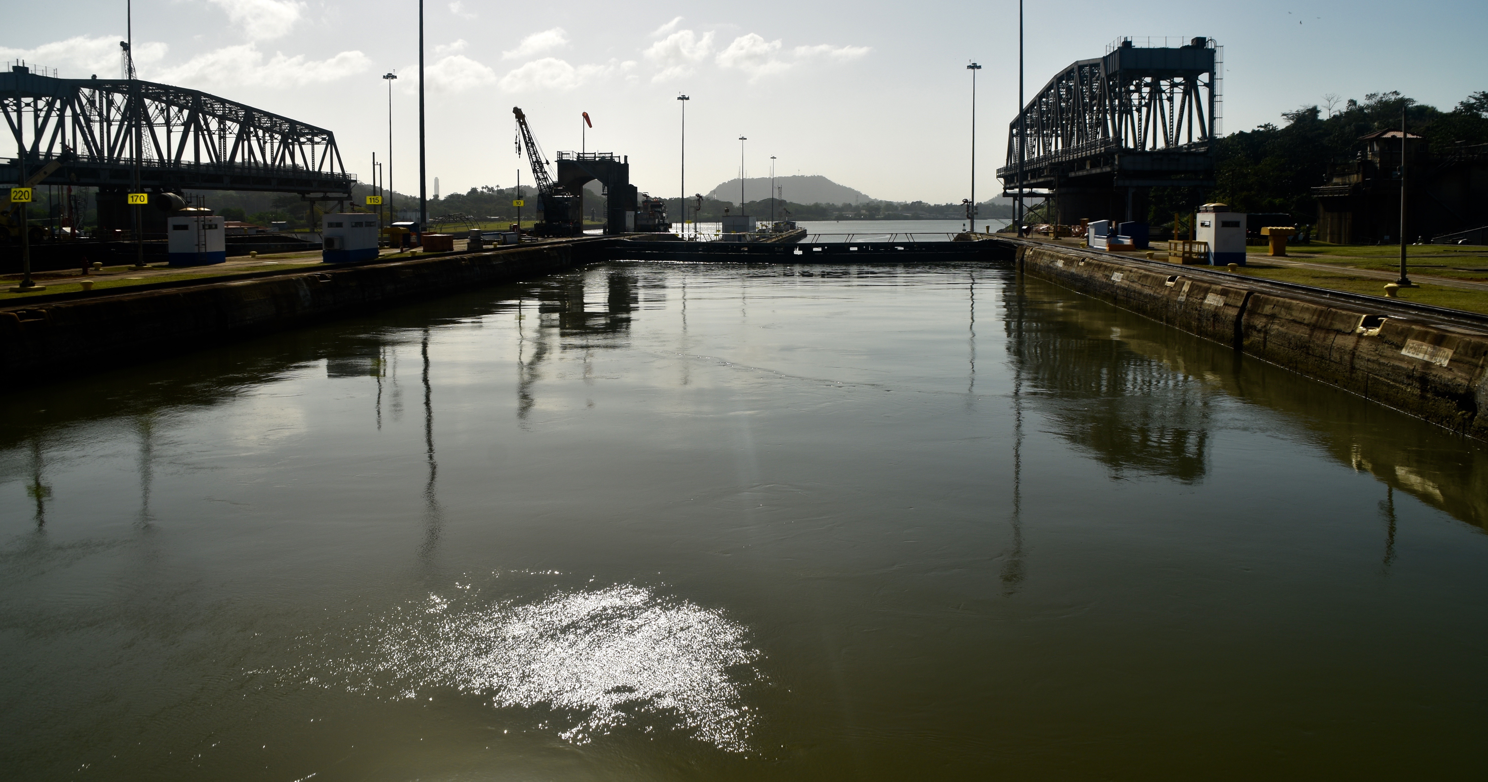
And here we are fully elevated.
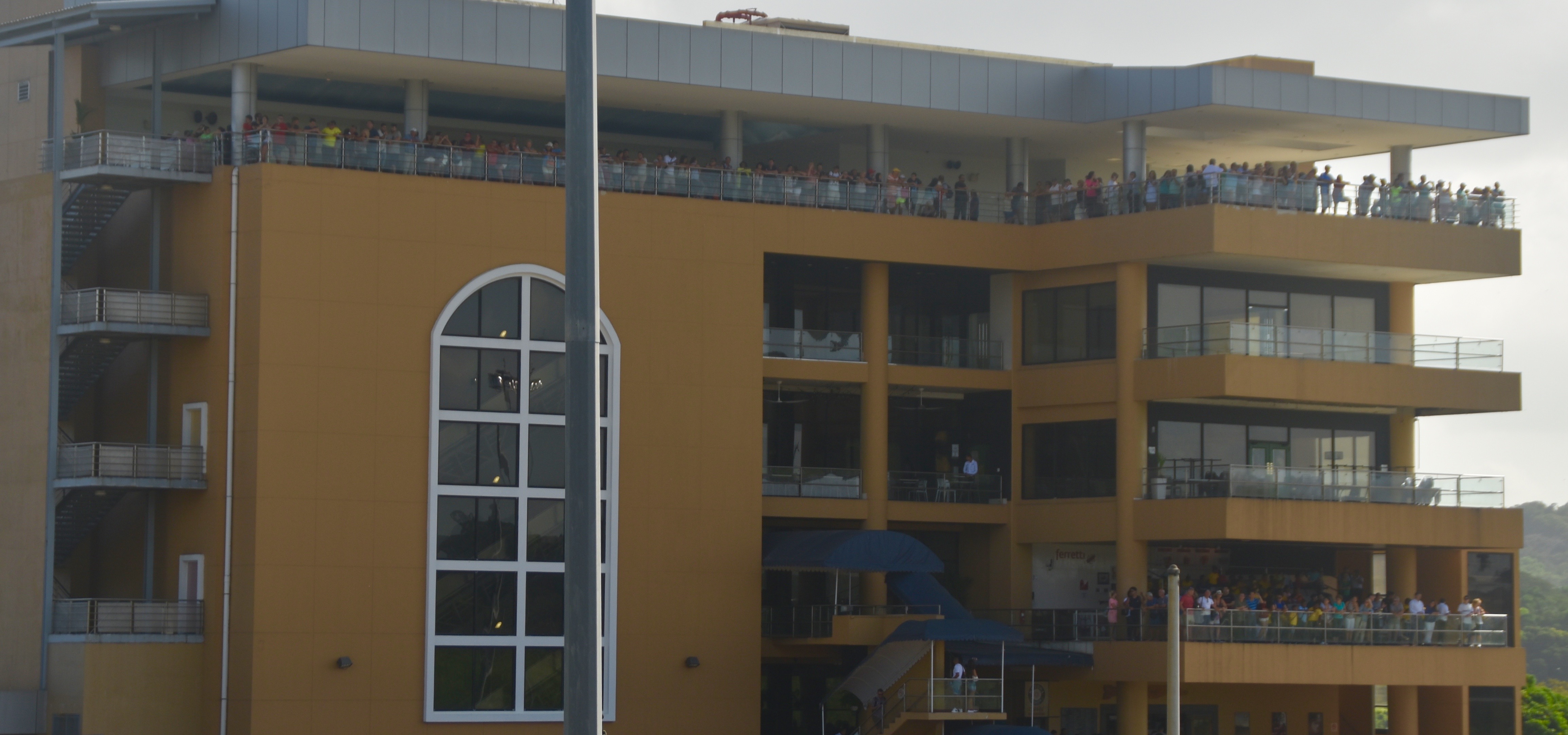
The observation deck with the hordes of people on it is located beside the Miraflores locks. I feel unexpectedly elated than I’m here and not there. In a twist on the old adages about teachers I think, “Those who can, do. Those who can’t, watch.”
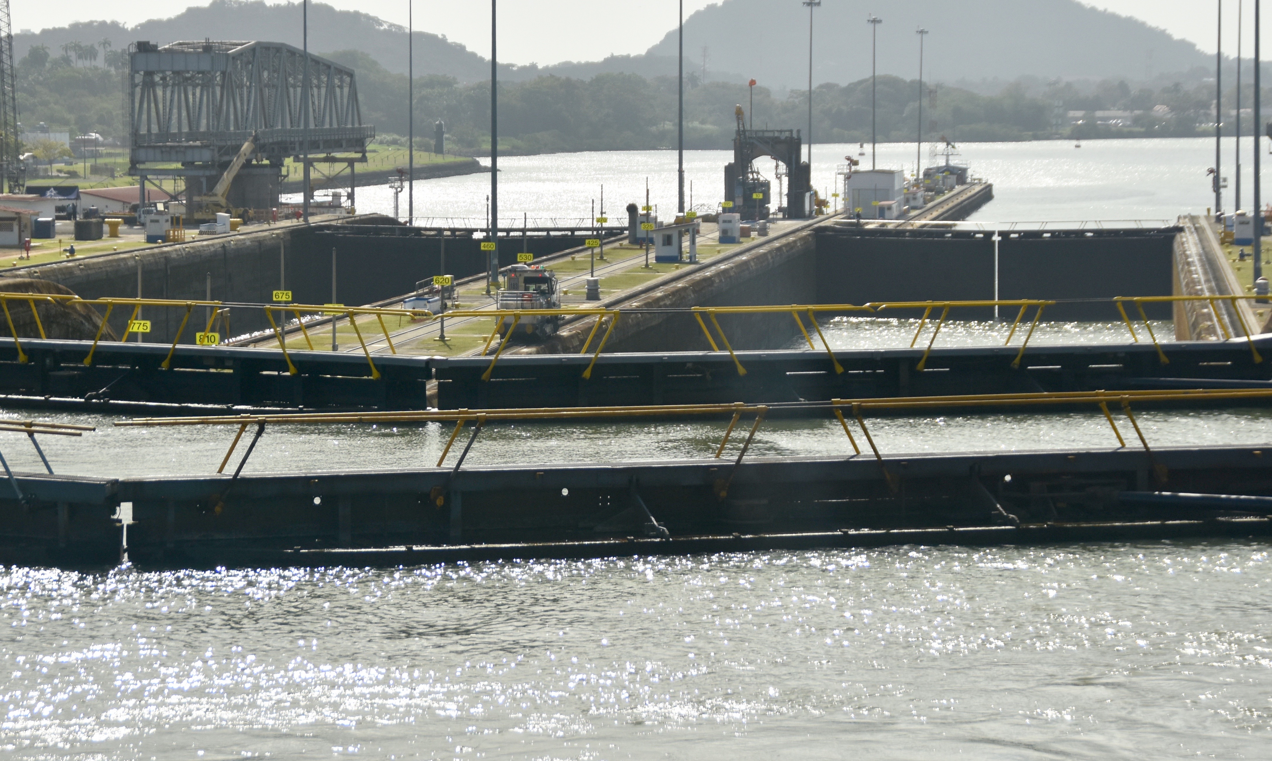
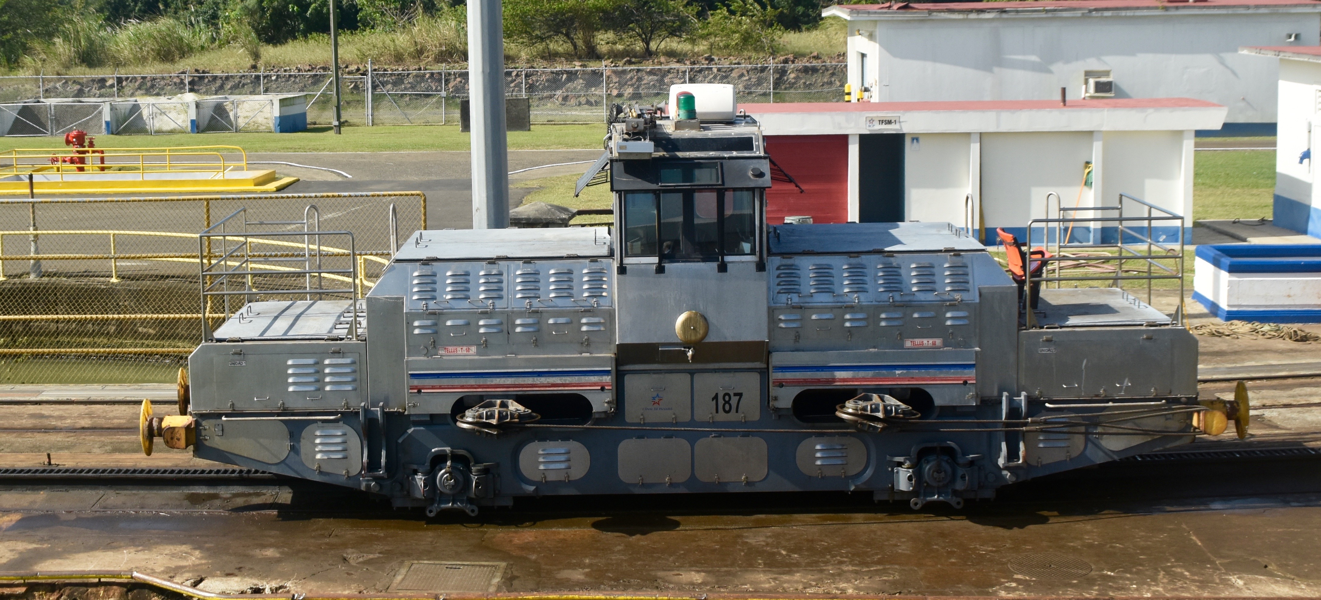
Running beside the locks are sets of tracks where small engines called mules actually pull the big ships though the locks. We are small enough not to require any help.
Once out of the first set of locks we have clear sailing to the next set, catching up and passing the lumbering Pacific Onyx on the way.
The process is repeated at the San Pedro locks which has only a single lift, but this photo gives you an idea of how high the lift actually is as we look down at a much larger ship that has not been elevated yet.
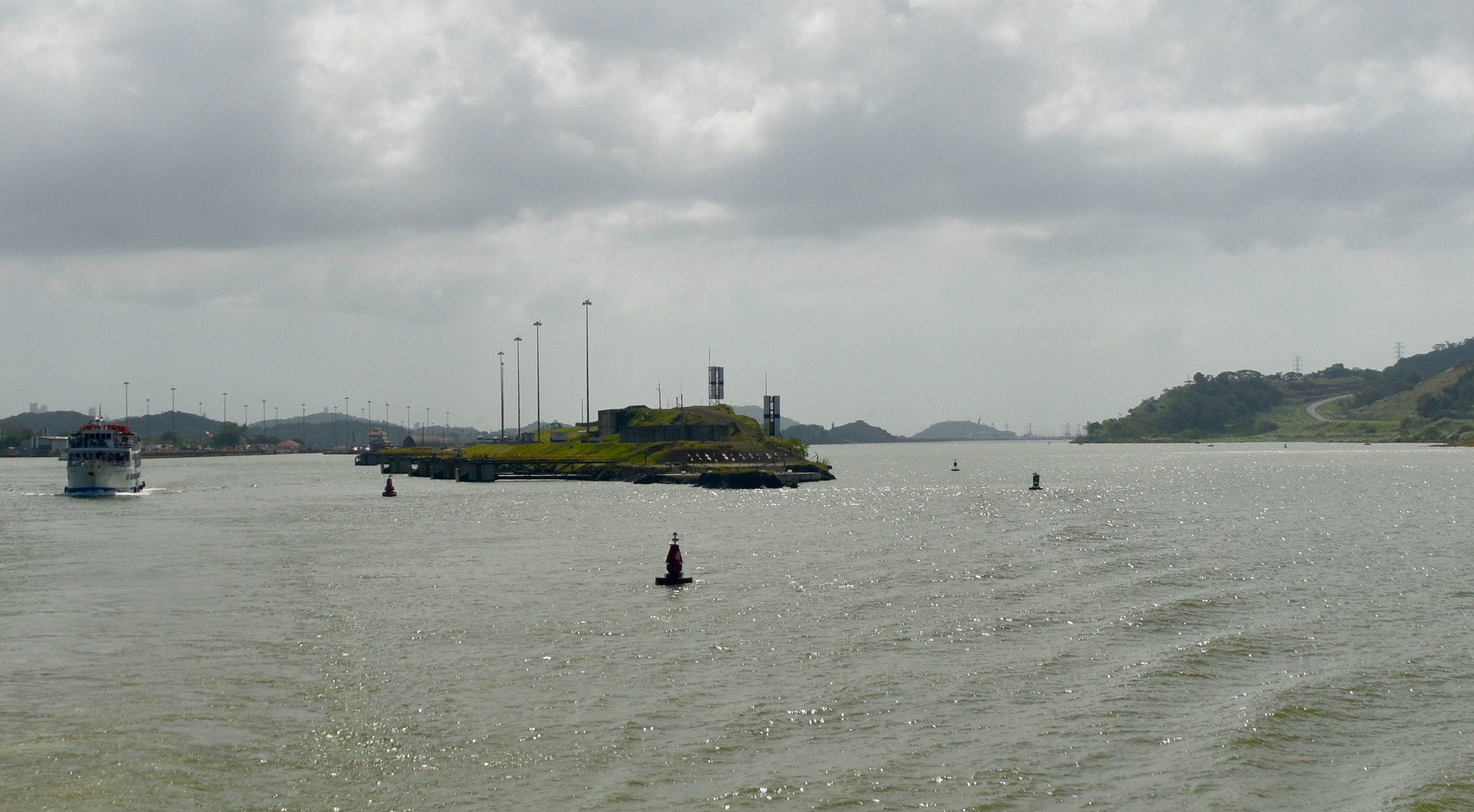
This is the where ships from both the old and new locks share the same portion of the canal all the way through Lake Gatun which essentially starts at the end of the Pedro Miguel lock.
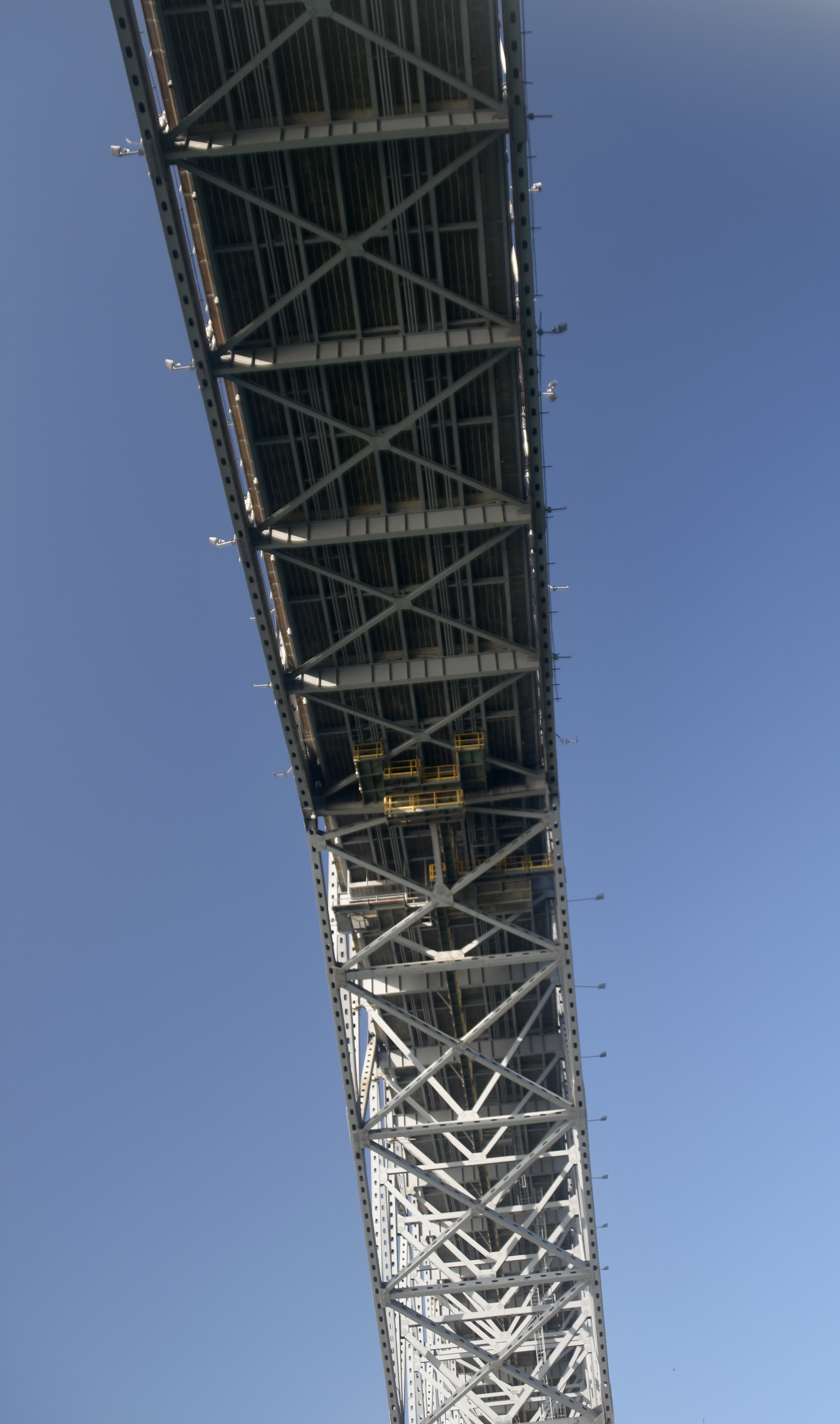
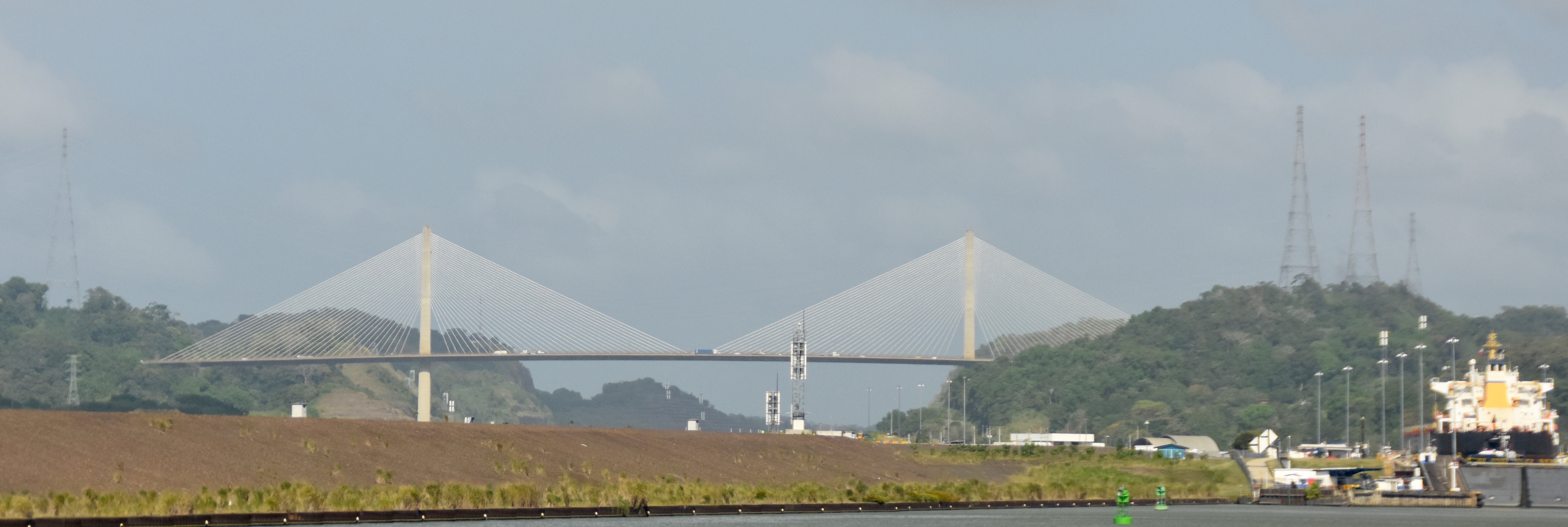
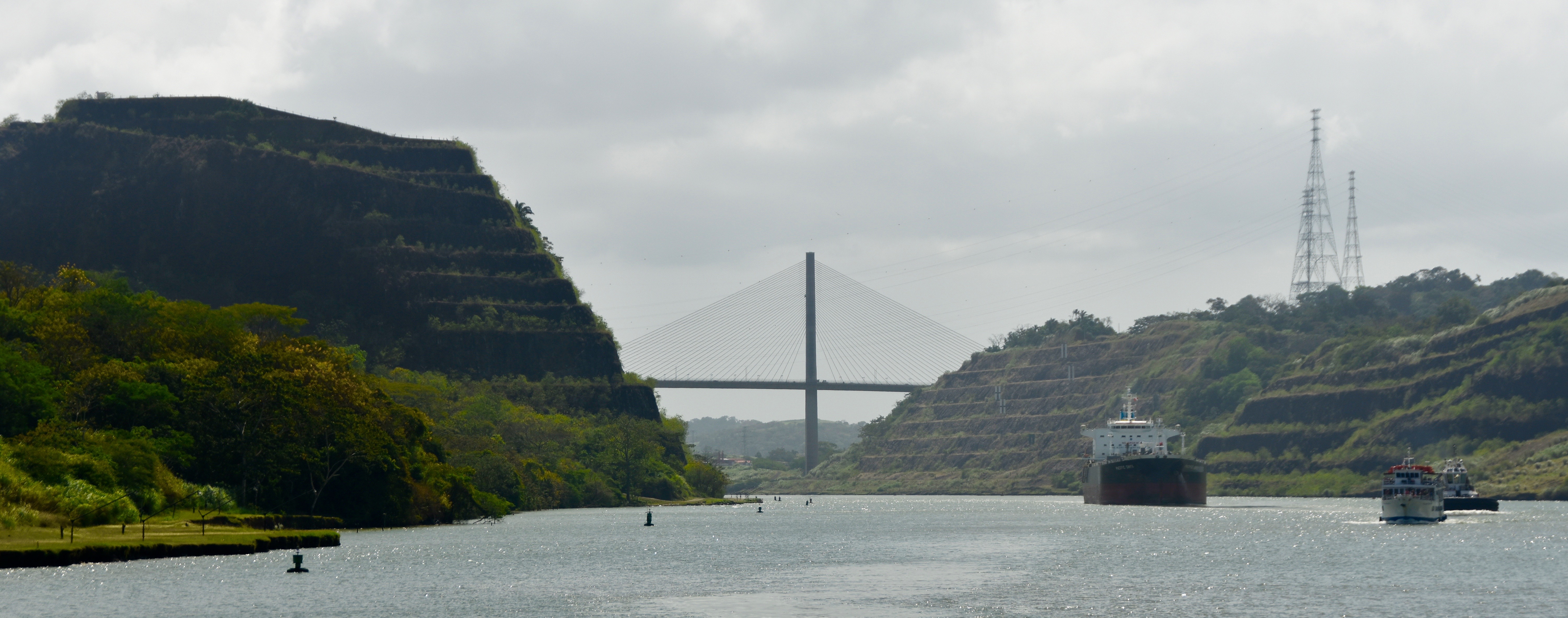
Next up is the approach to another engineering marvel, the Centennial Bridge, opened in 2004.
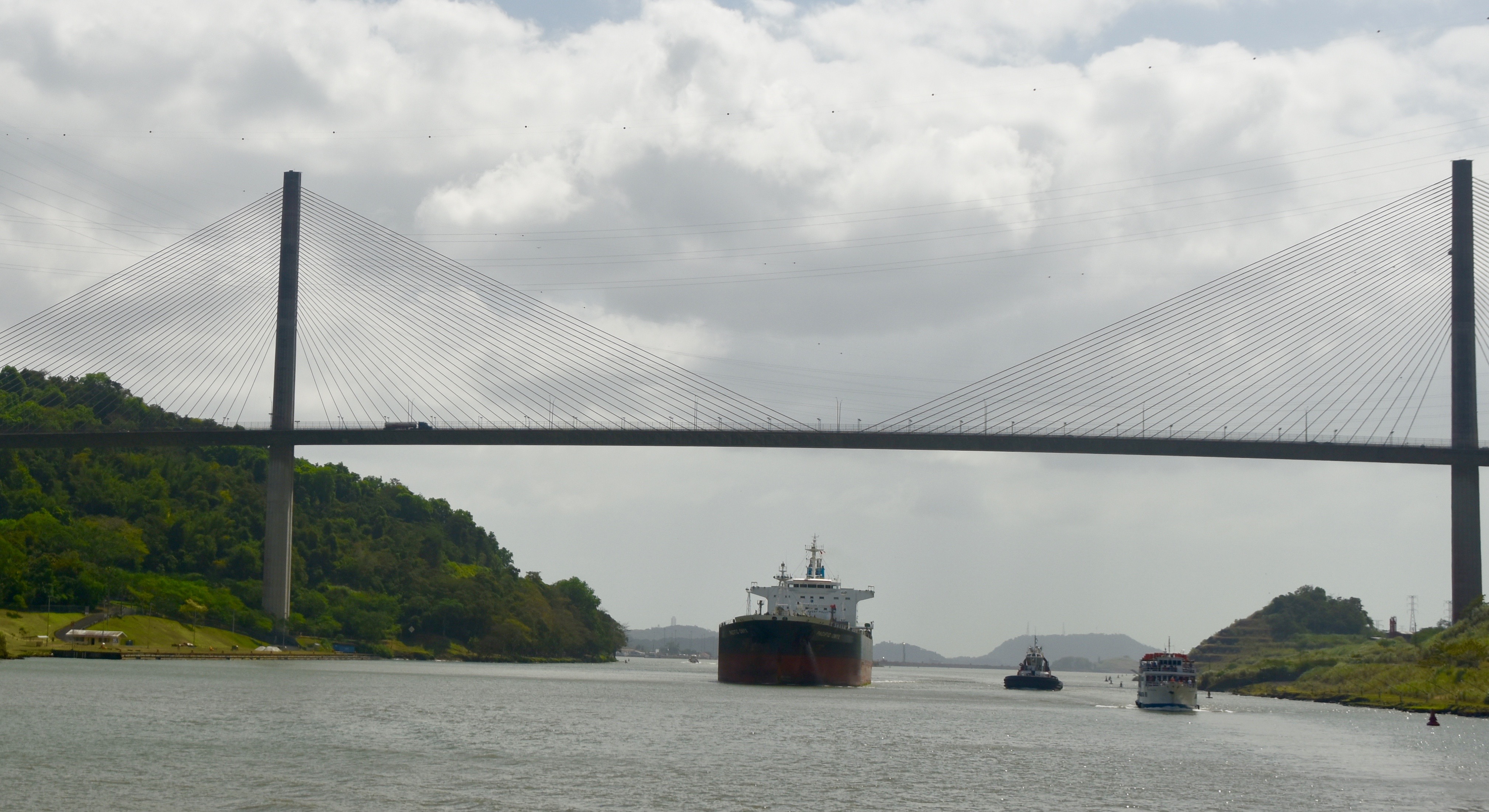
We are now in the Culebra or Gaillard Cut which was the highest point above sea level and the most difficult to complete on the Panama Canal. The hillside had to be cut away in a stepped fashion to prevent the repeated landslides that bedevilled the French efforts.
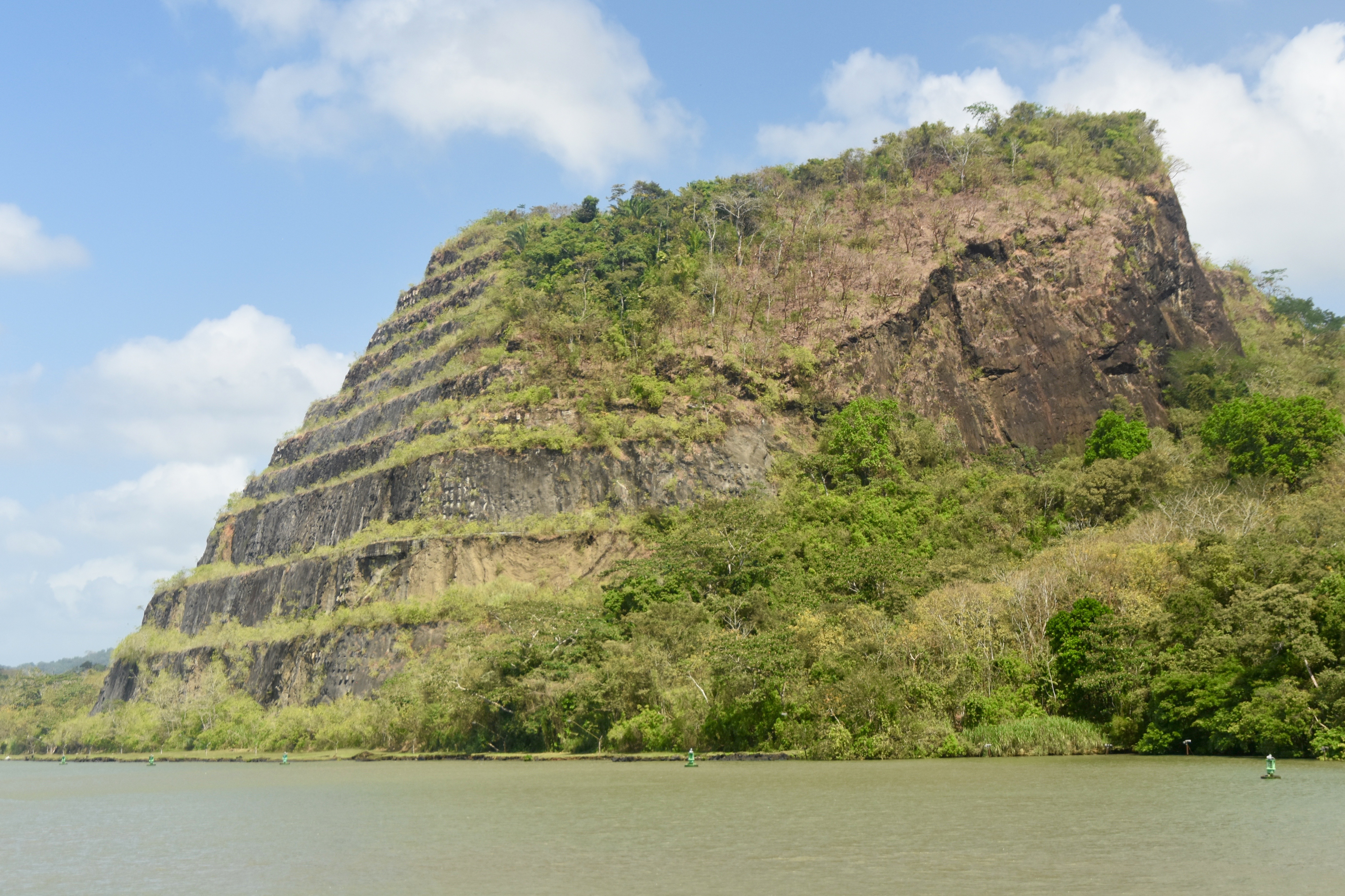
I’m not usually one to be bowled over by man’s major feats of engineering, but there’s something about being on the Panama Canal that puts you in awe of this particular achievement. I think this picture says it all.
Don’t ask me how, but the giant container ship we first saw back at the first set of locks had outpaced us for most of the trip and we were just about to pass it when we arrived at Gamboa and had to disembark.
The Panama Canal is considered one of the Seven Civil Engineering Wonders of the World and if you are thinking of giving it a pass, don’t. Just being on it will put a smile on your face.