Tikal – Guatemala’s Mayan Masterpiece
This is my final post on our visit to Guatemala as part of Victor Romagnoli’s Central American odyssey for Canadian travel company Adventures Abroad. Visiting every country on this vast isthmus that stretches almost 3,000 kilometres (1840 miles) from Colombia to Mexico has been an eye opening experience to say the least. I now understand that each country has its own ethos and that they are not just a bunch of banana republics with similar histories of civil oppression, American interventionism and endless wars and revolutions. I also know that, despite being third world countries (Panama and Costa Rica might dispute that designation), that they each have a unique beauty, unmarred by poverty and lack of opportunity. Guatemala has been particularly notable in this regard as I’ve noted in my posts from Chichicastenango, Lake Atitlan and Antigua. Our final stop in Guatemala will be at the fabled Mayan city of Tikal which is deep in the rain forest in the northeast of the country not far from the border of Belize.
Getting There
Although it’s theoretically possible to drive to Tikal, it’s actually a hell of a long way from the Guatemalan Highlands and the other attractions that bring tourists to this beautiful country. The vast majority of visitors arrive by air in the small city of Flores on the shores of Lago Petén Itzá and that’s exactly what out group will do. Returning to the Guatemala City airport from Antigua we board a late night flight on a small jet for the one hour flight to Flores. We are joined by a group of Korean tourists on board, which I mention only for what will become relevant in a later post. I am somewhat surprised to note that, despite being a city of over three million people and the capital city, Guatemala City has fewer flights in an entire day than Halifax airport has in an hour, at least pre-Covid. What the situation would be today (June 2020) I have no idea.
After boarding a bus around midnight Victor asks for a little more patience as we drive another hour to our lodgings on the shore of the lake. He assures us that it will be worth it because it will allow us to get to Tikal, still another hour’s drive away, at opening time and avoid the heat of the midday sun. The downside is that we need to get up before six to do this. Still, I’m not bothered at all because Tikal has been on my list of must visit places for decades and it almost seems unreal that I’m actually here and about to see it.
The Story of Tikal
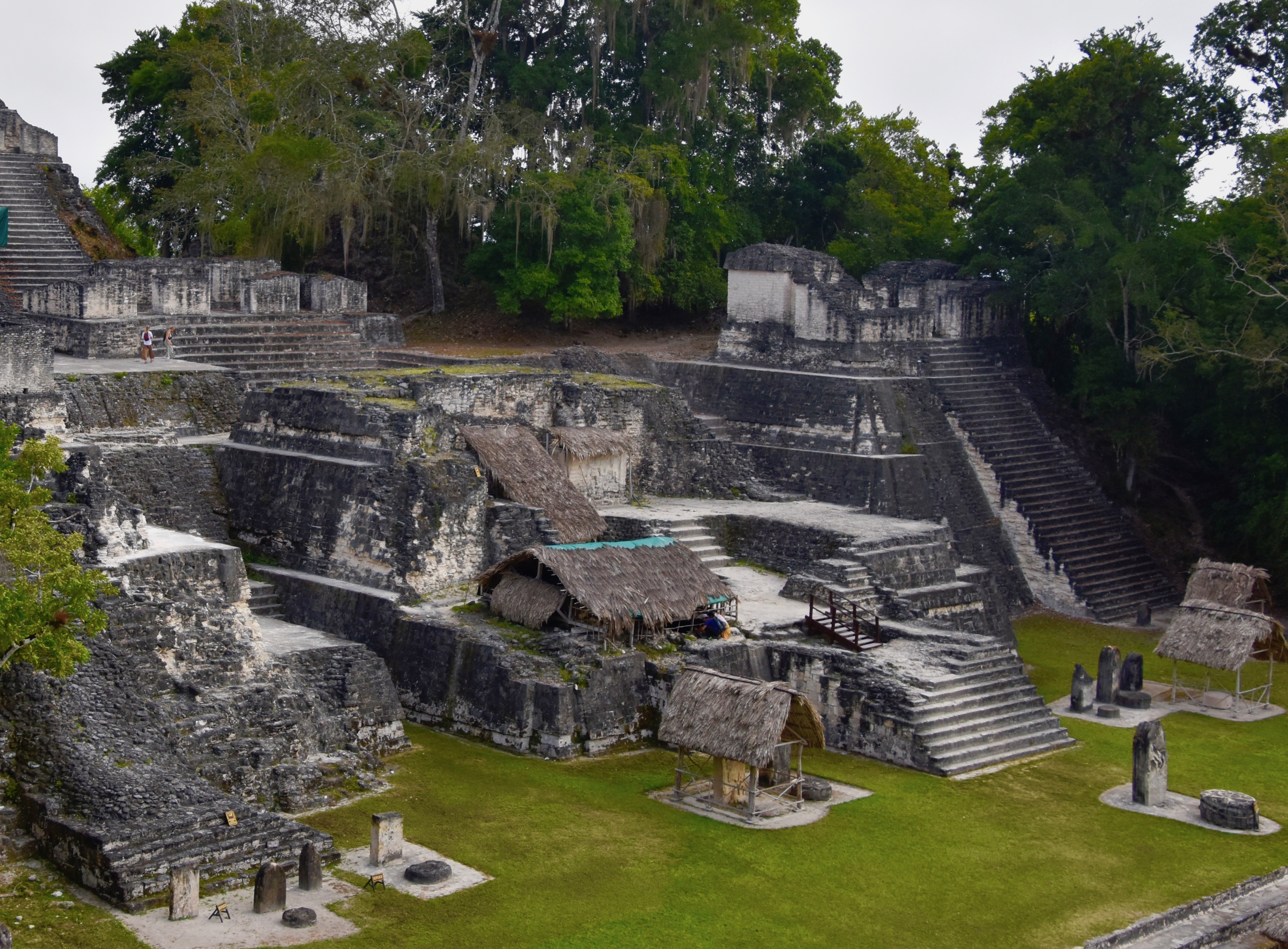
The Mayans differed significantly from the Aztecs and the Incas in that they were never one unified force, but rather a collection of city states that frequently warred with each other. Think of the Aztecs and Incas as Rome and the Mayans as ancient Greece. While many Mayan cities were powerful at different times during the three recognized periods of Mayan history, Preclassic, Classic and Post Classic, few spanned as long a period of time as Tikal. The foundation of the city dates way back to 600 B.C. and it was inhabited for 1,500 years, being abandoned for reasons unknown around 900. At its height Tikal may have has as many as 90,000 inhabitants living in area over 6 square miles (16 sq. kms.) in size and containing an estimated 3,000 buildings. While the soil in these lowland rainforests was fertile, strangely enough the city had no ready access to water, not being on a river or lake. Archaeologists believe the residents relied strictly on rainfall which was stored in numerous reservoirs throughout the area.
Written records in stone provide a dynastic history of Tikal from a first recorded king in around 90 A.D. up until 869 through a series of 33 rulers, at least one of which was a woman. From at least 200 A.D. Tikal developed a direct relationship with the great central Mexican city of Teotihuacan which Alison and I visited on an earlier tour with Victor. In 378 the ruler of Tikal, Chak Tok Ich’aak (Great Jaguar Paw) was apparently assassinated by an emissary from Teotihuacan in a coup that put the city directly under the yoke of the Mexicans. There followed a period of great growth for Tikal and the subjugation of many surrounding Mayan cities as well as the foundation of the city of Copan in modern day Honduras, which we visited only a week before. This status as an aggressive puppet state did not sit well with neighbouring Mayan cities, especially Calakmul and what followed was the Mayan version of the Peloponnesian Wars with each city having the upper hand at various times over the next few hundred years. At first Calakmul allied with Caracol a city in modern day Belize we will be visiting soon, and decisively defeated Tikal and kept it subjugated for over a century. But then Tikal got its second wind and crushed Calakmul in 695, a defeat from which it never recovered. It was during the period that followed that the most impressive of the city’s many pyramids were erected including Temple IV, the largest Mayan structure from the Classic period.
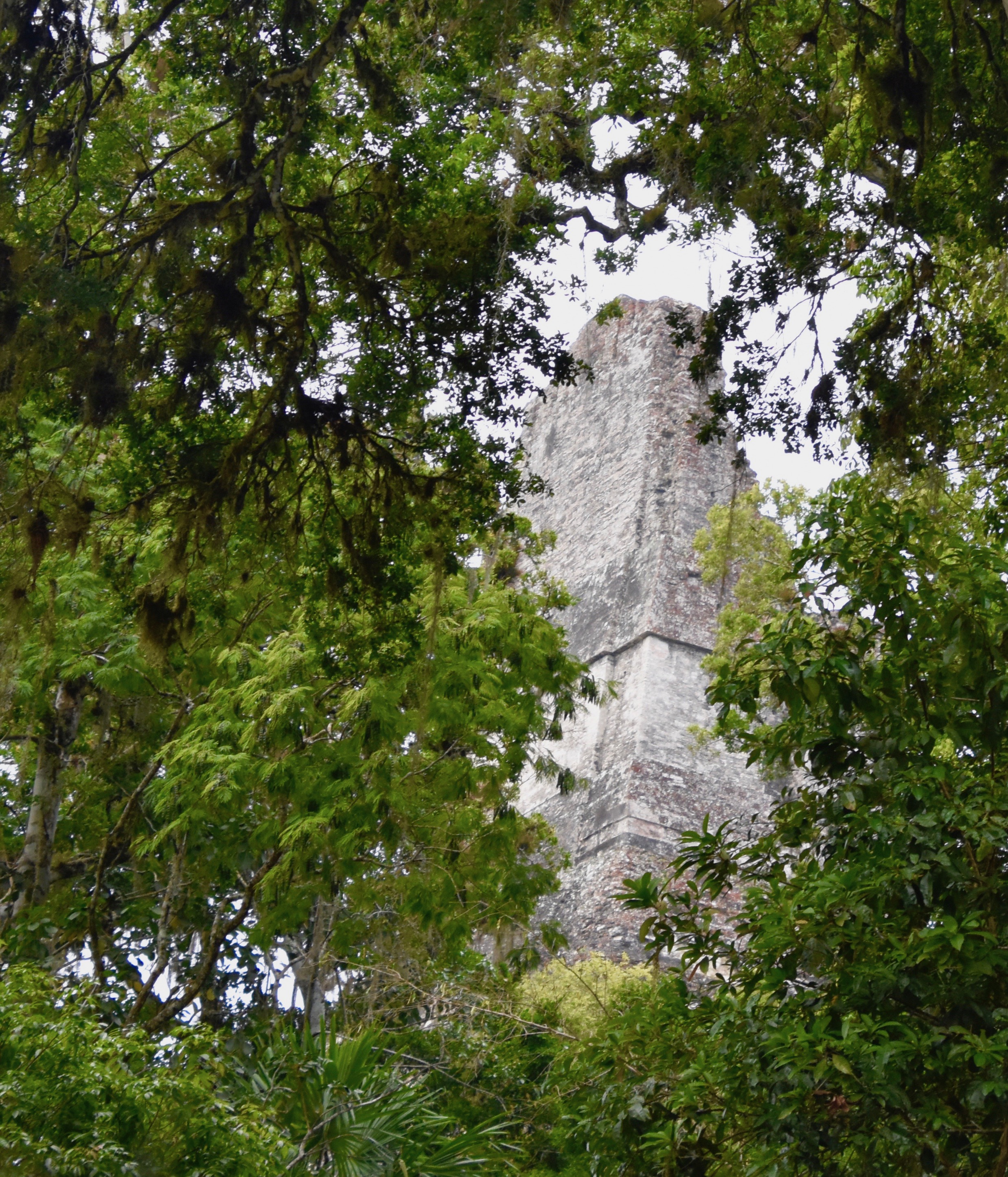
Around 900 Tikal simply collapsed for reasons that are still debated. We know it wasn’t destroyed like Teotihuacan, but went out with a whimper, rather than a bang. The rain forest then covered it for almost a millennium and it became the proverbial lost city. In fact one area of the complex is named Perdido Mundo or the lost world. If you ever want an Indiana Jones type of experience in stumbling across arcane overgrown ruins in the middle of the jungle, like the picture above, then Tikal is the place to come. We’re here so let’s go explore this place.
Visiting Tikal
Tikal is actually inside a large national park that is also a UNESCO World Heritage Site, one of the first to be inscribed in the program. It is notable not only for its great Mayan ruins, but also is part of the Maya Biosphere Reserve and the unique flora and fauna of this area of the world. The visitor gets not only an archaeological experience, but a biological one as well, something that only a handful of World Heritage Sites can claim. This is truly one special place.
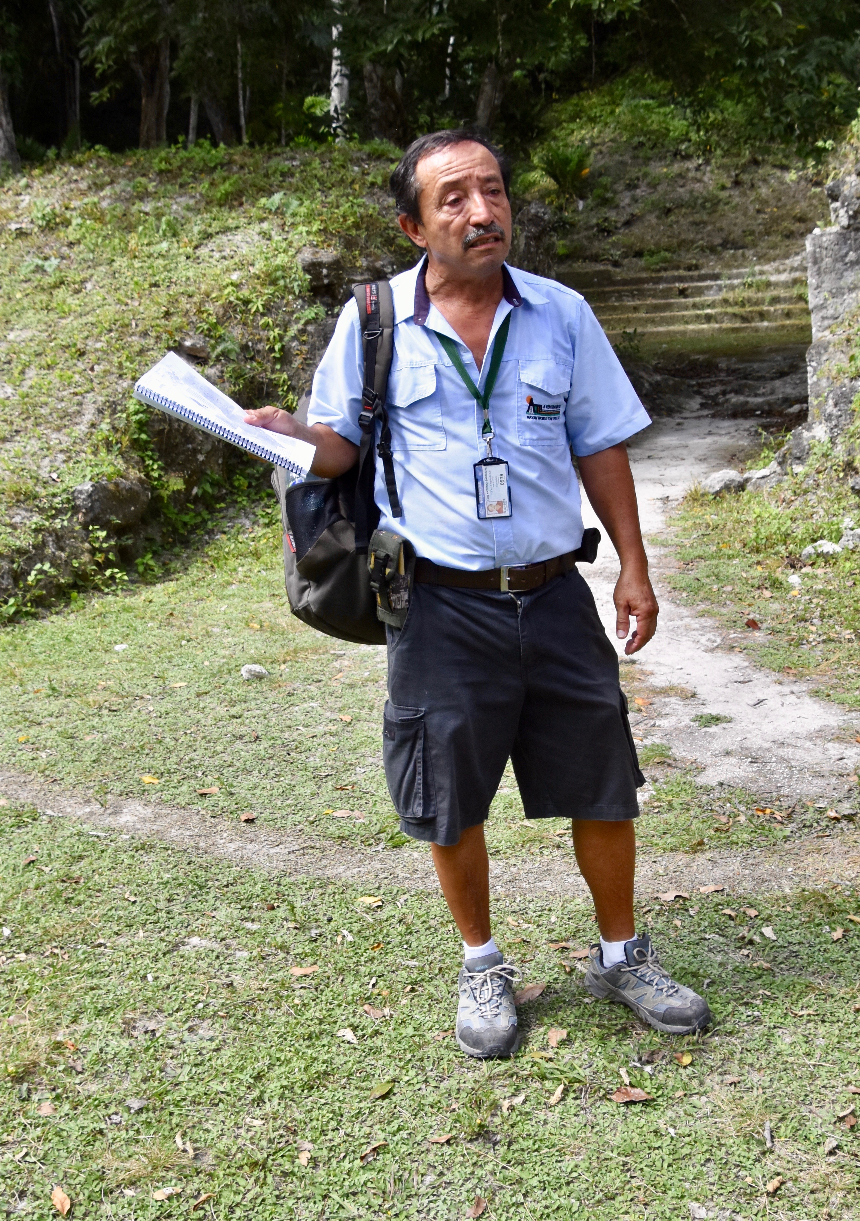
As promised, Victor gets us up well before dawn and we grab a bagged breakfast before boarding the bus for an almost one hour ride to the site. We arrive at the park gates just at six a.m. when it opens, but the ruins are still a ways further and we get to the parking lot where our guide Luis is waiting for us. There is literally no one else around.
He takes us inside for a look at a model of the site and we get the first realization of just how big these ruins are.
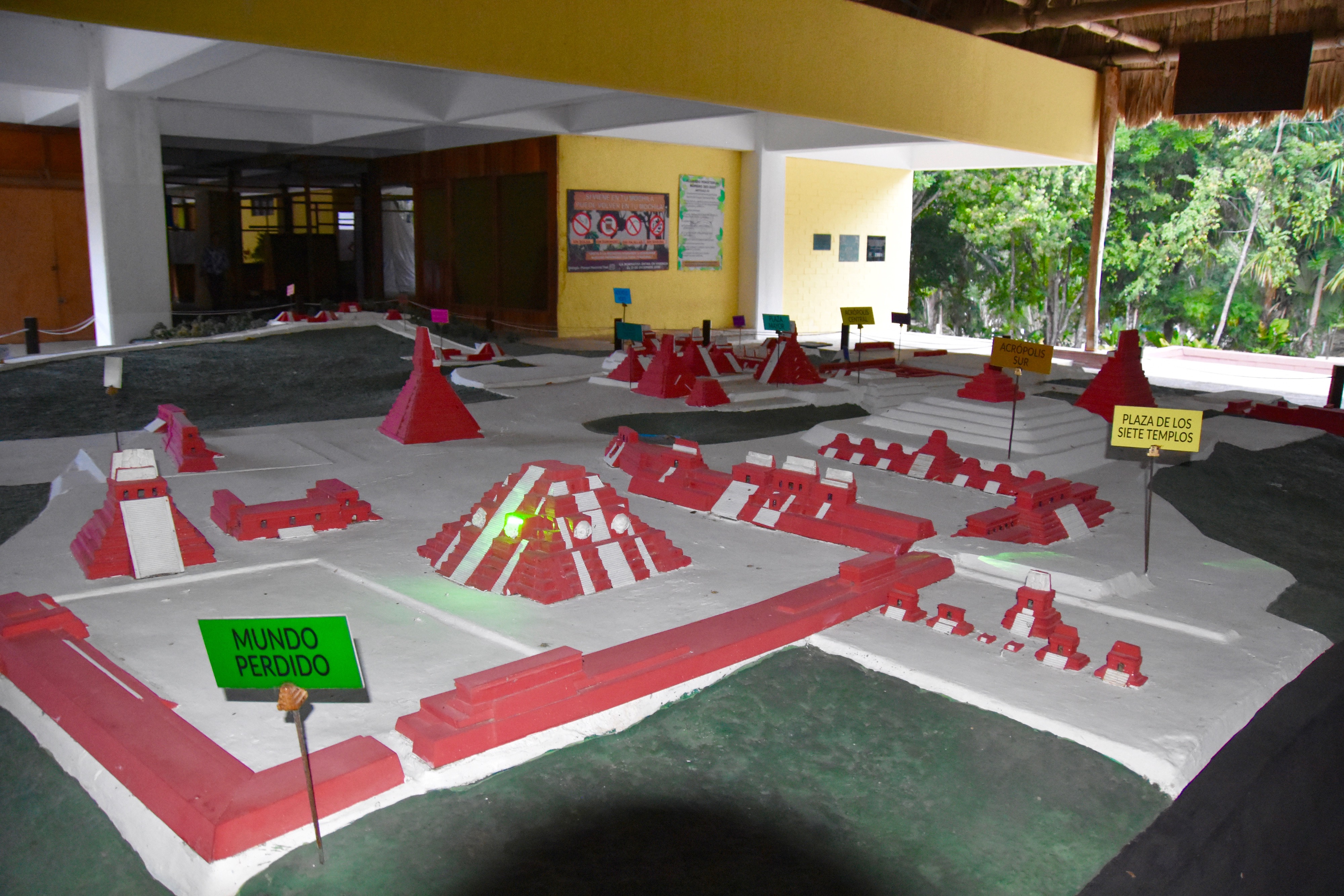
From here we head out for a walk through the rain forest to the actual ruins.
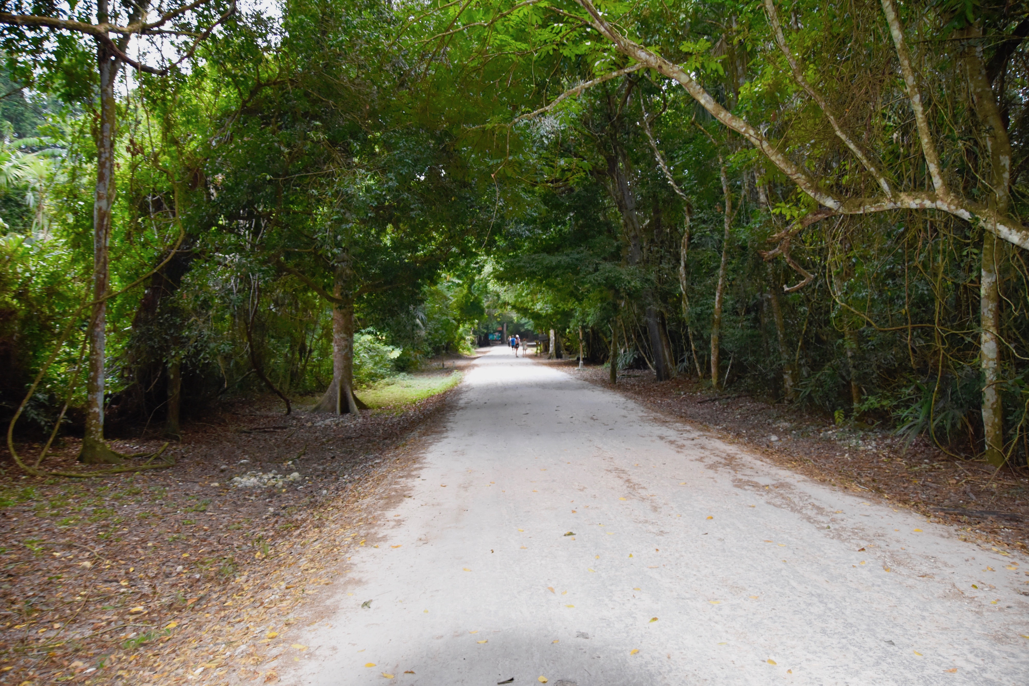
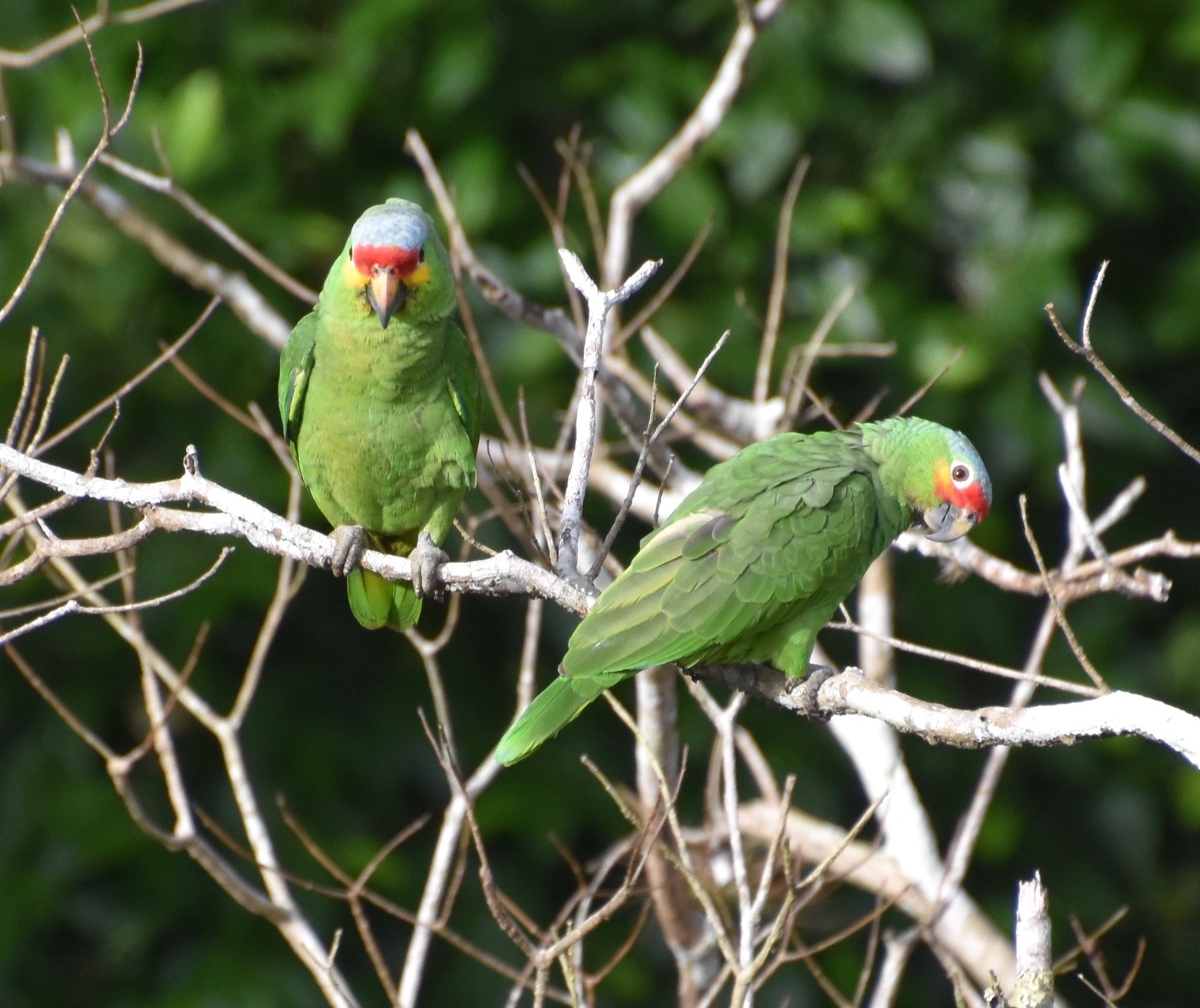
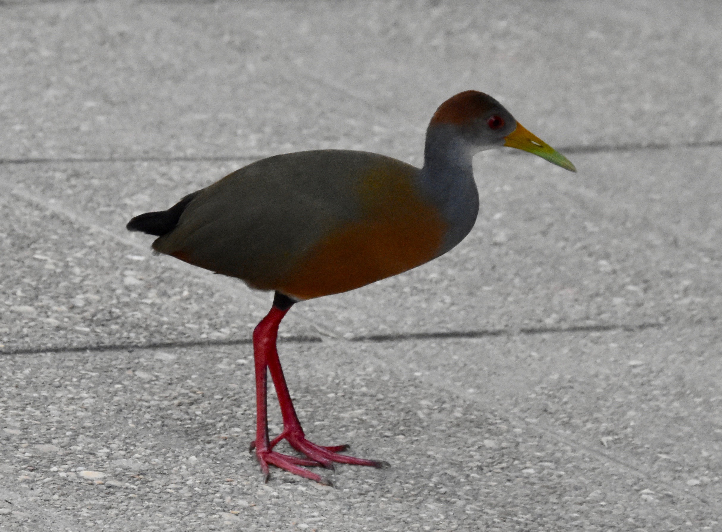
Along the way there are several interesting sitings including this red-naped wood rail, which is a first for me.
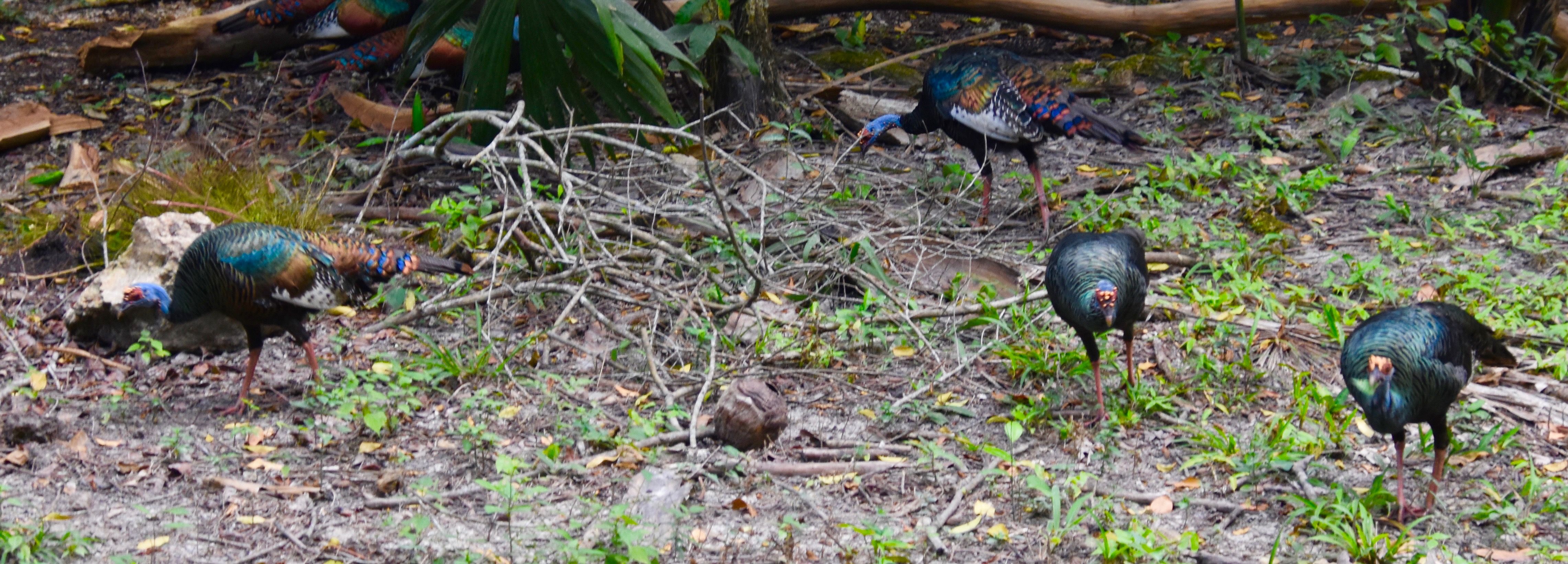
As are these oscillated turkeys, a species much more striking than the more common American turkey.
It’s already been a pleasant walk and we haven’t seen a single ruin yet.
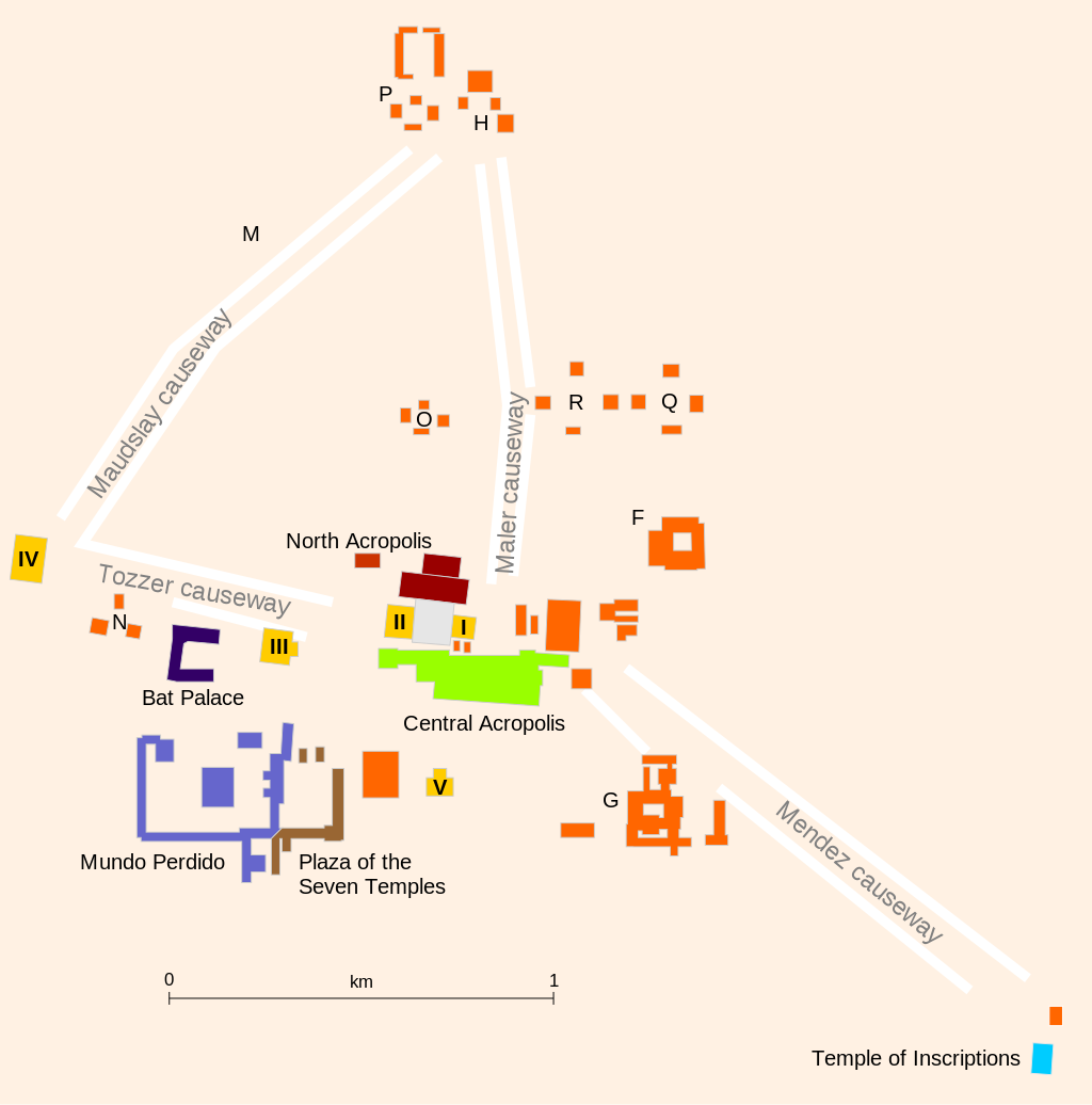
Tikal is such a big site that I’m not going to try to replicate the tour that Luis provided, which was excellent. Instead I’m going to hit the highlights which are most definitely the temples or pyramids (both words seem to get used interchangeably). This is a map of the heart of Tikal where the largest ruins are found.
The road we walked up enters the site at the Q and R complexes and then the North, Central and Mundo Perdido Acropolises follow in that order.
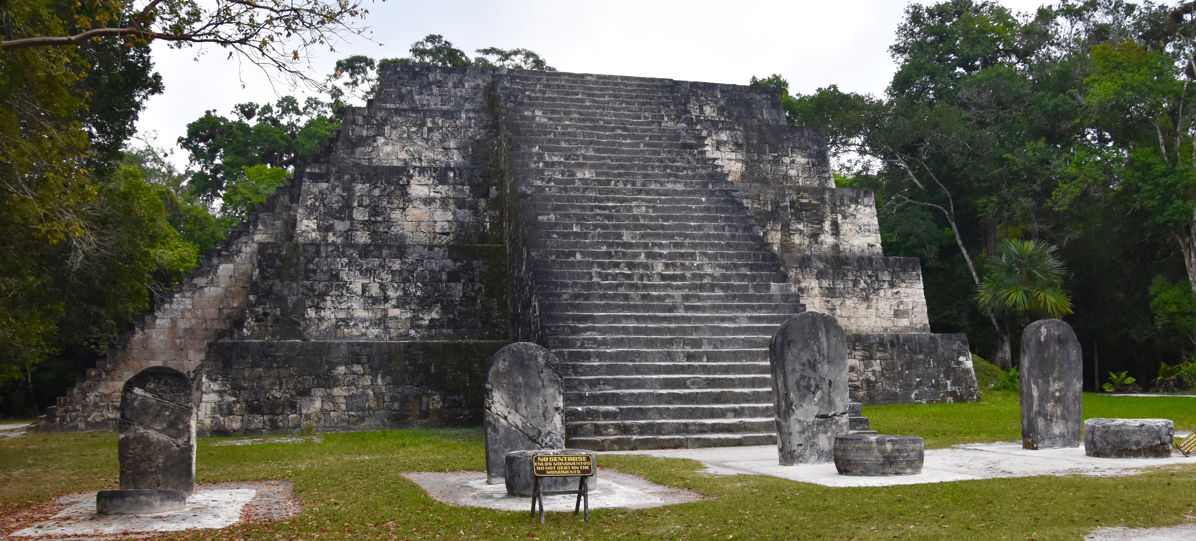
It starts out rather modestly with the East Pyramid Complex with a number of stelae in front. This shows how blasé I’ve become about Mayan ruins over the last couple of weeks since we visited out first sites in El Salvador. Back then, this small pyramid would have been a big deal, but today I’m looking for much bigger things than this.
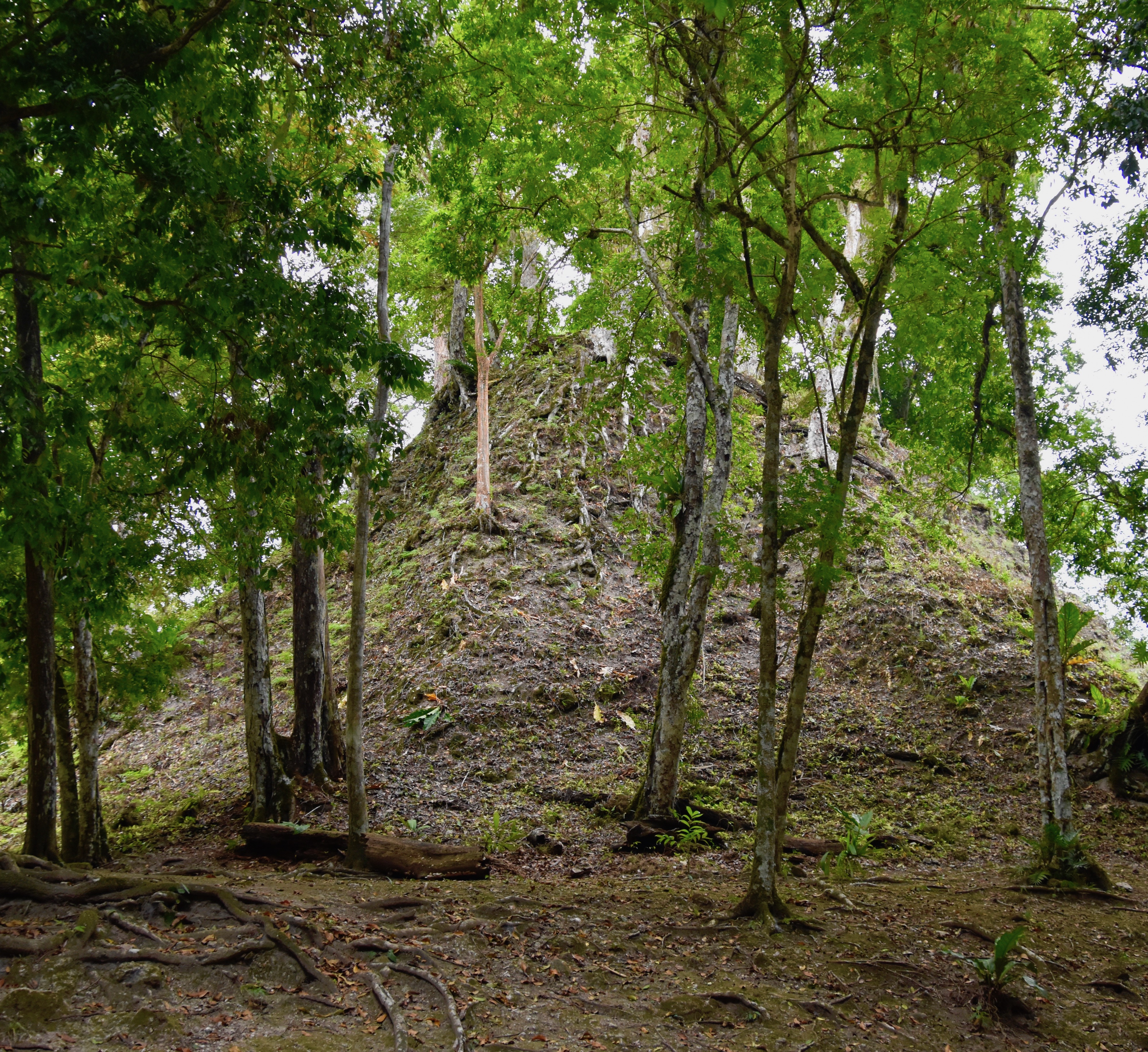
Walking through complex R, one can see the remains of unexcavated pyamids of which there are many at Tikal. There is still a lot of work for archaeologists to do and hopefully it will continue post Covid-19.
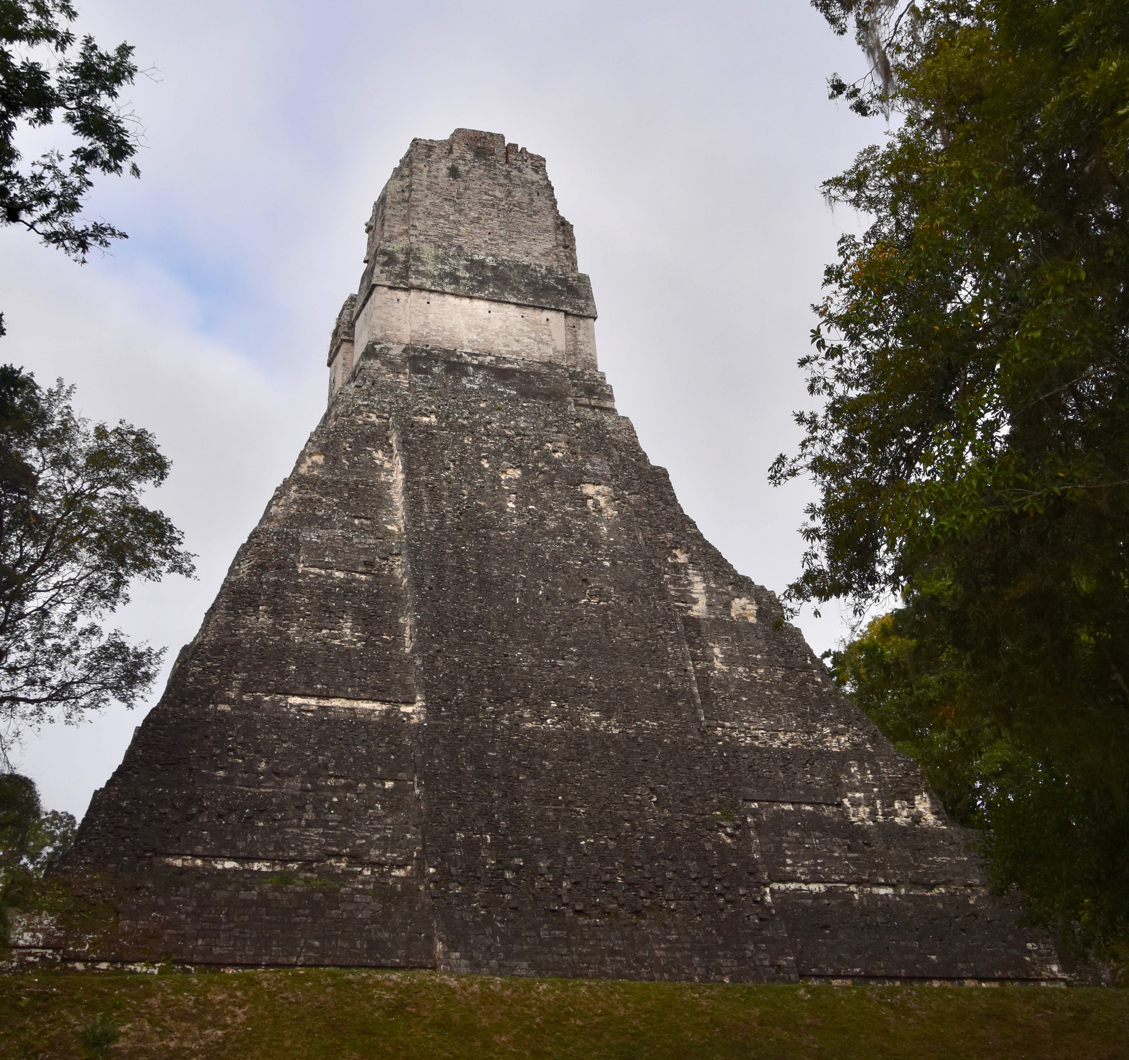
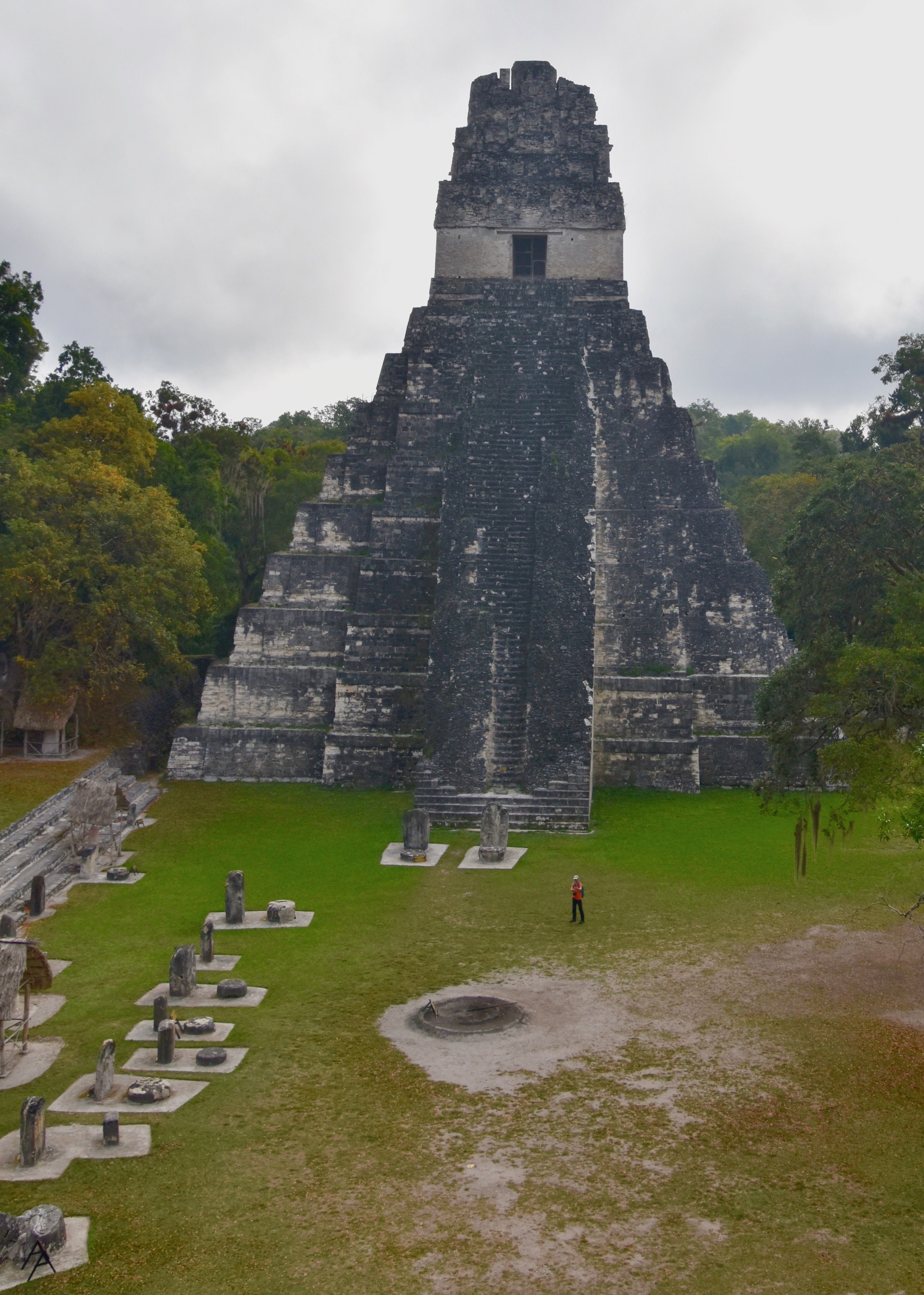
And then, seemingly our of nowhere you come across the first temple and it is magnificent and incredibly steep compared to anything I’ve seen anywhere, including Egypt and Mexico.
And then the next temple rises from the jungle.
And the good news is that you can climb most of the pyramids at Tikal. Victor notes that since his last visit the government has constructed much safer ways up and down these structures than previously when you just climbed up the steep face. Now the way’s up are along the sides and do not obstruct the view of the structure from the plazas in front of them.
Now the climbing is neither for the faint of heart or the weak of heart. The way’s up are steep and given the rapidly rising temperature I understand why Victor got us here so early.
Here is a short video taken from the East Plaza Complex with the noise of howler monkeys that brings home the fact that you are deep in the jungle in the literal middle of nowhere visiting a place that once housed 90,000 people and survived for over 1,500 years.
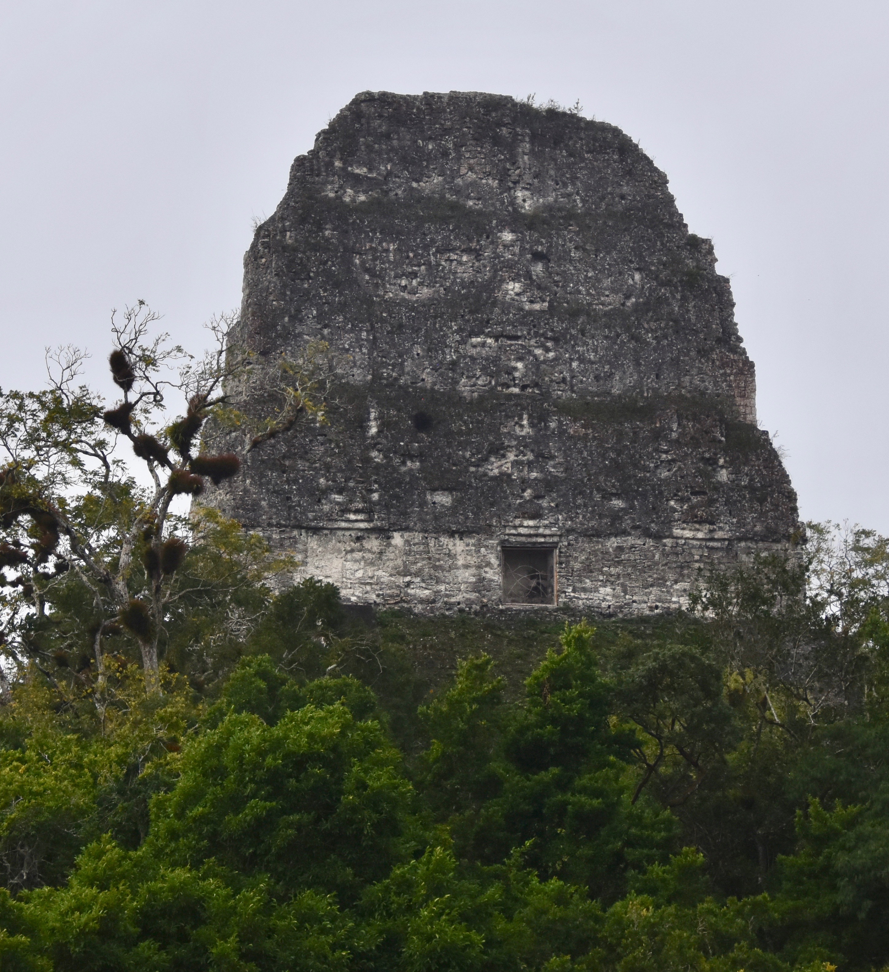
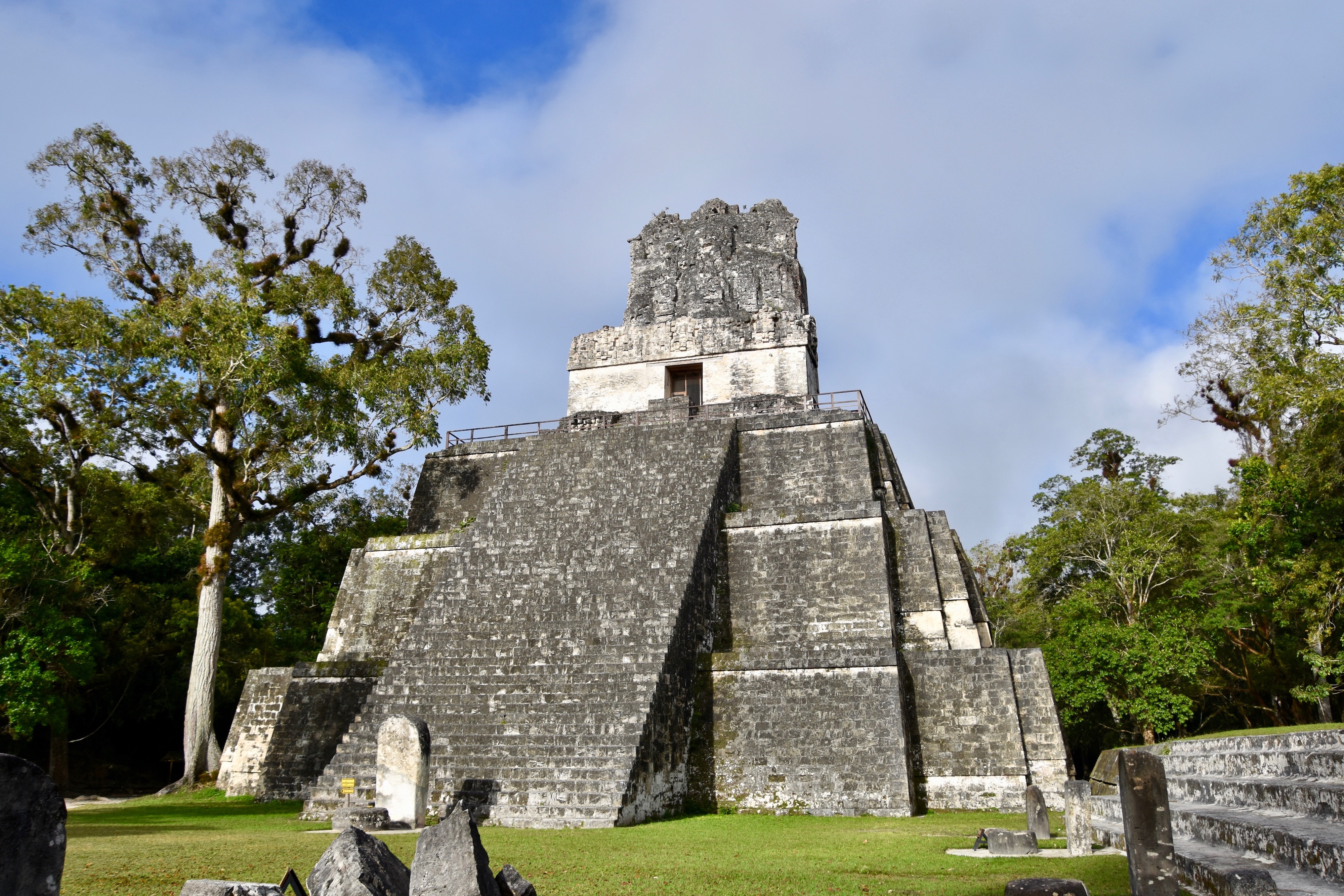
Ok, time to do some serious climbing. This is a view of the tallest temple at Tikal, Temple IV which rises 230 feet. For this photo I am standing on the top of Temple II or the Temple of the Mask.
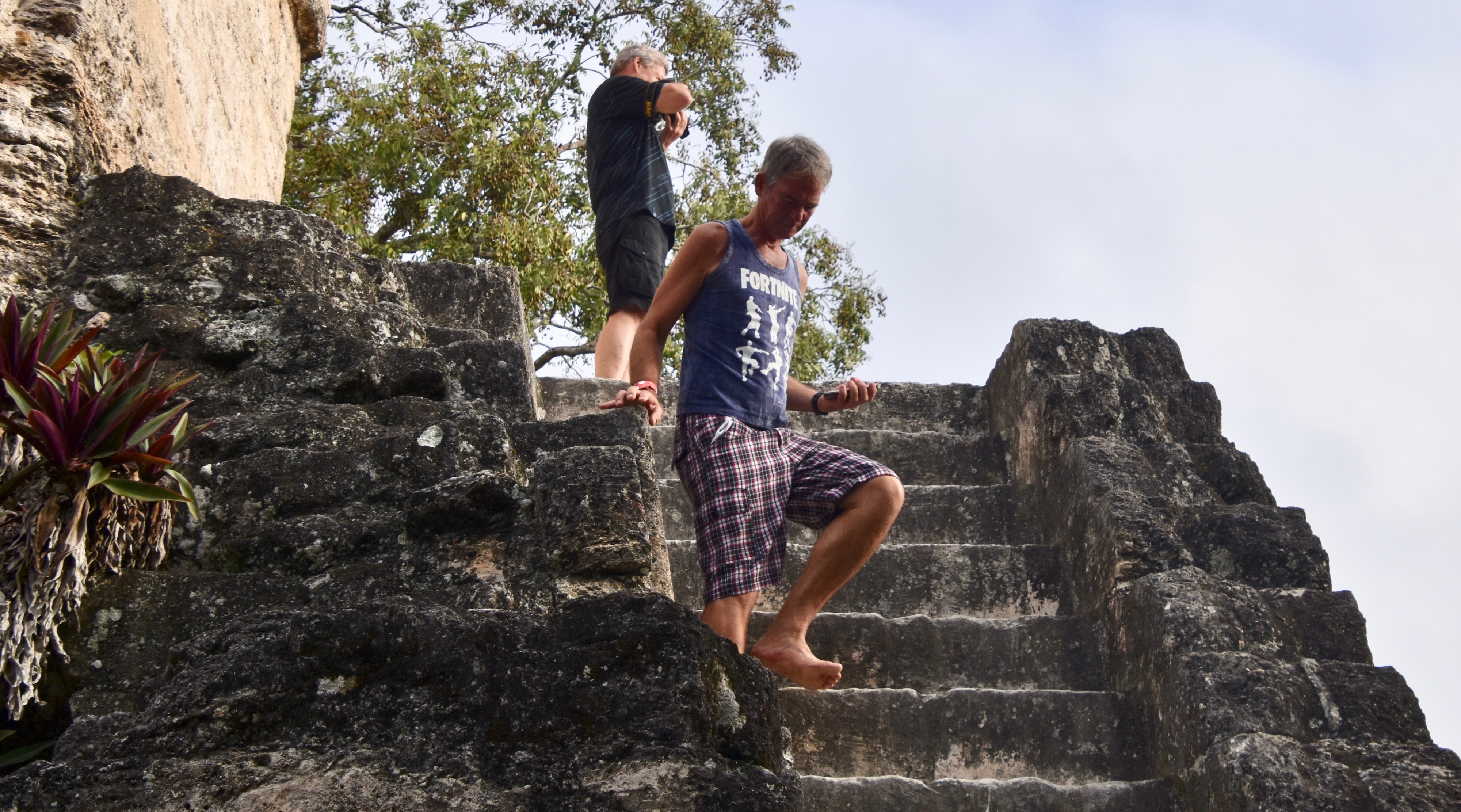
Victor goes up and down these pyramids like a mountain goat in bare feet.
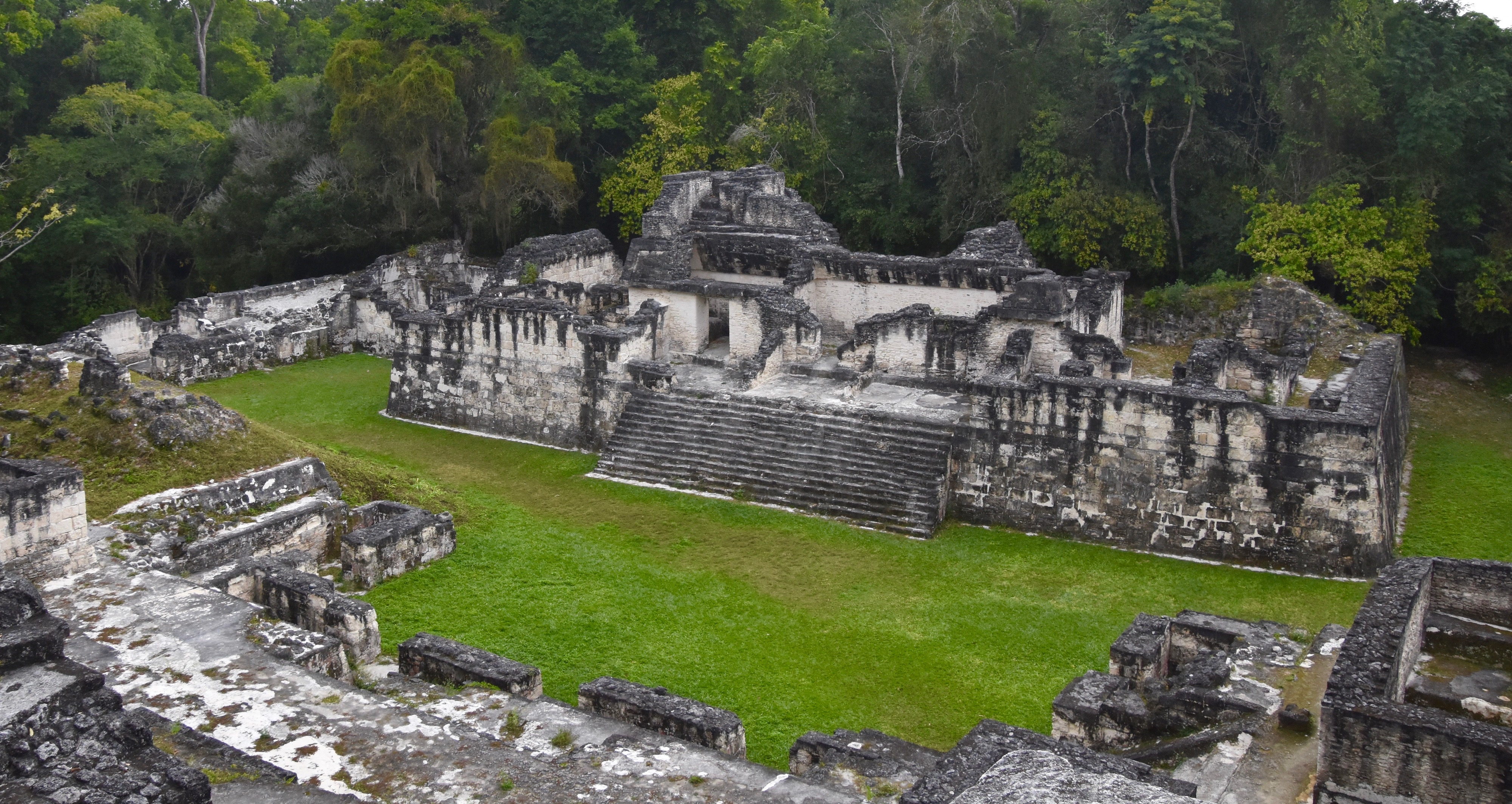
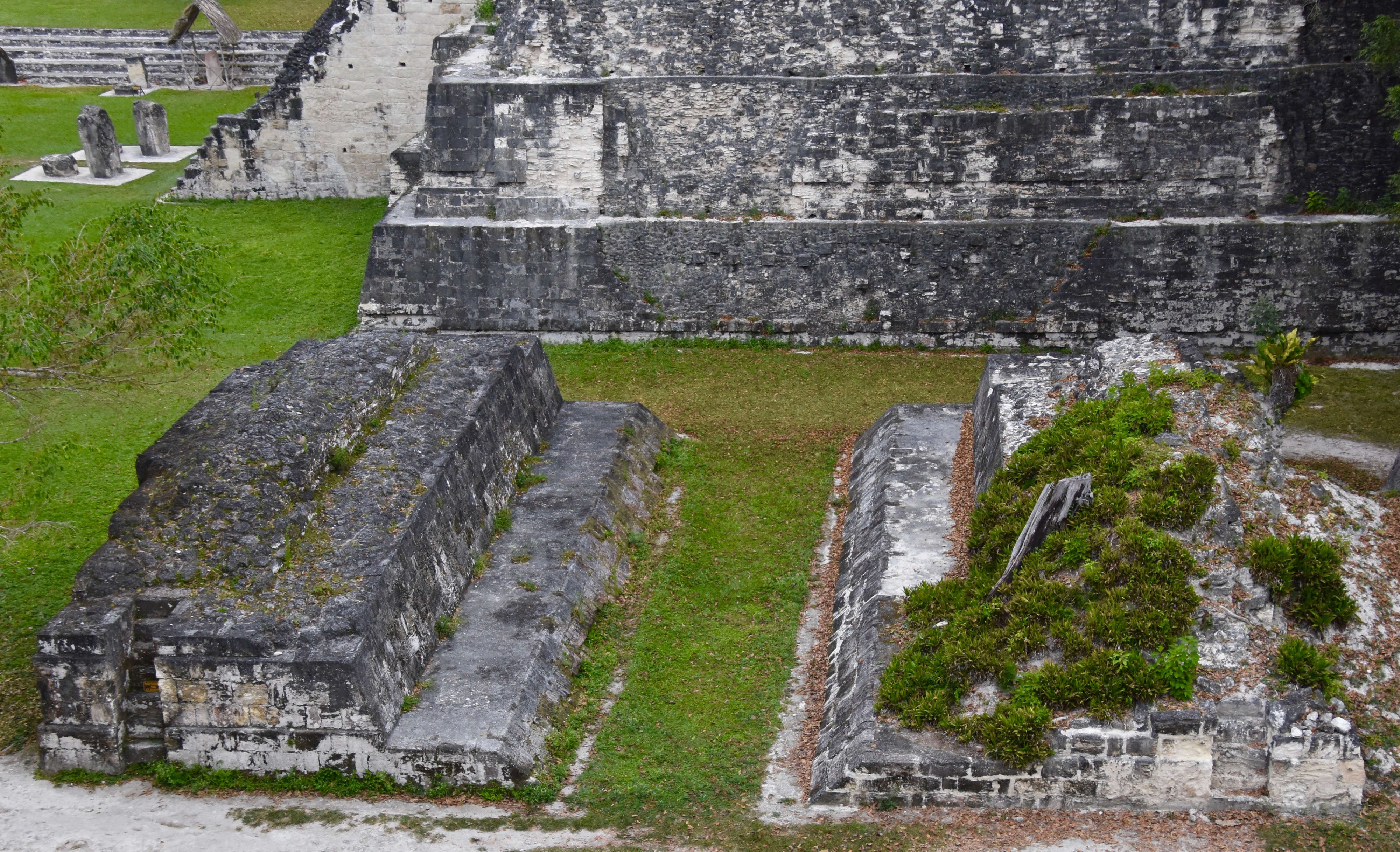
This is the view of the Tikal ball court from up top.
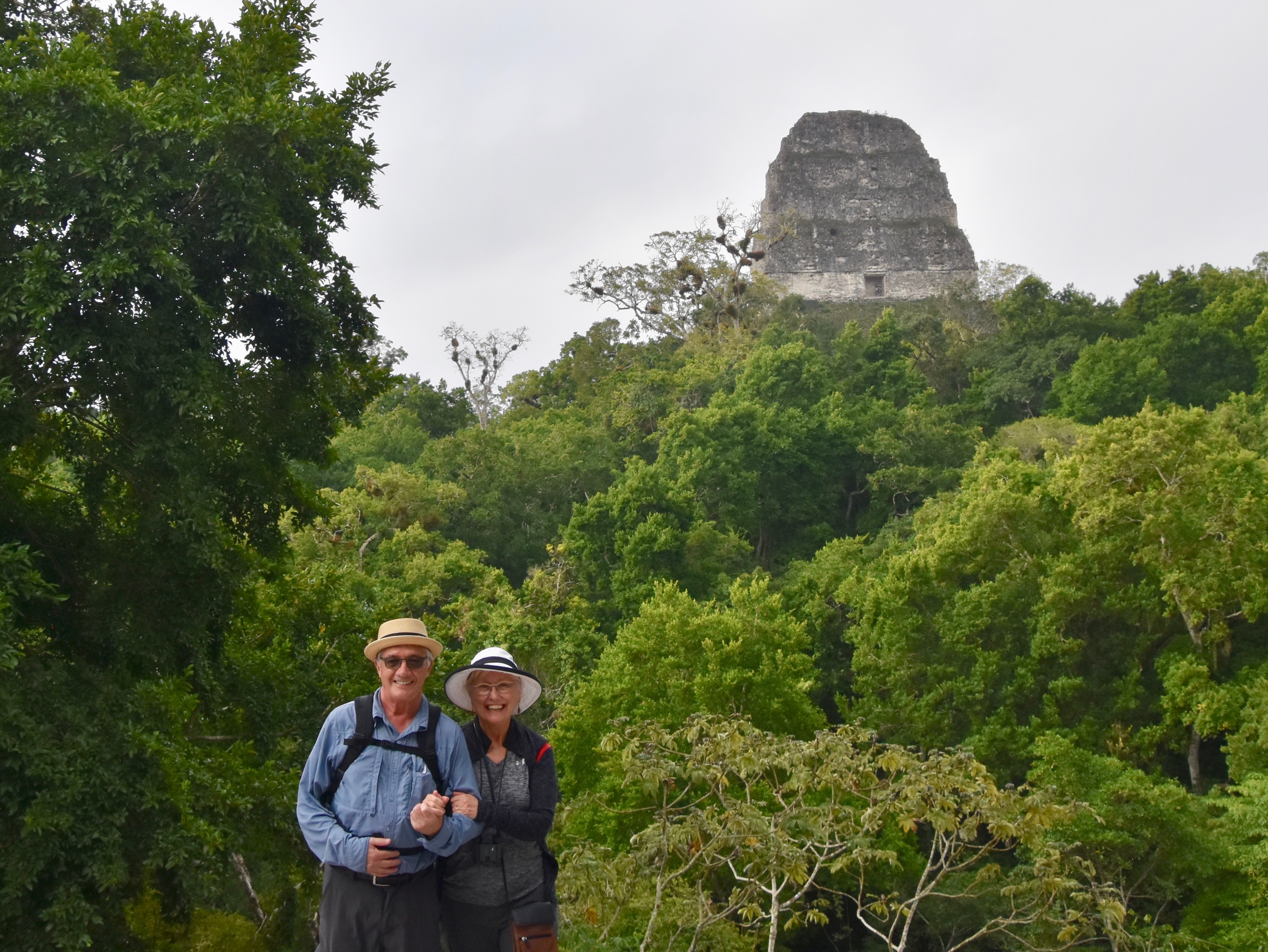
There are a tremendous number of photo opportunities from these pyramids. In this one we are standing on a ledge with about a fifty foot drop behind us, but the shot of the great Mundo Perdido pyramid in the background was too good to pass up.
Many of the pyramids at Tikal were used as burial sites like their Egyptian counterparts such as the one below.
This is the view from the base of Temple IV which you are not allowed to climb.
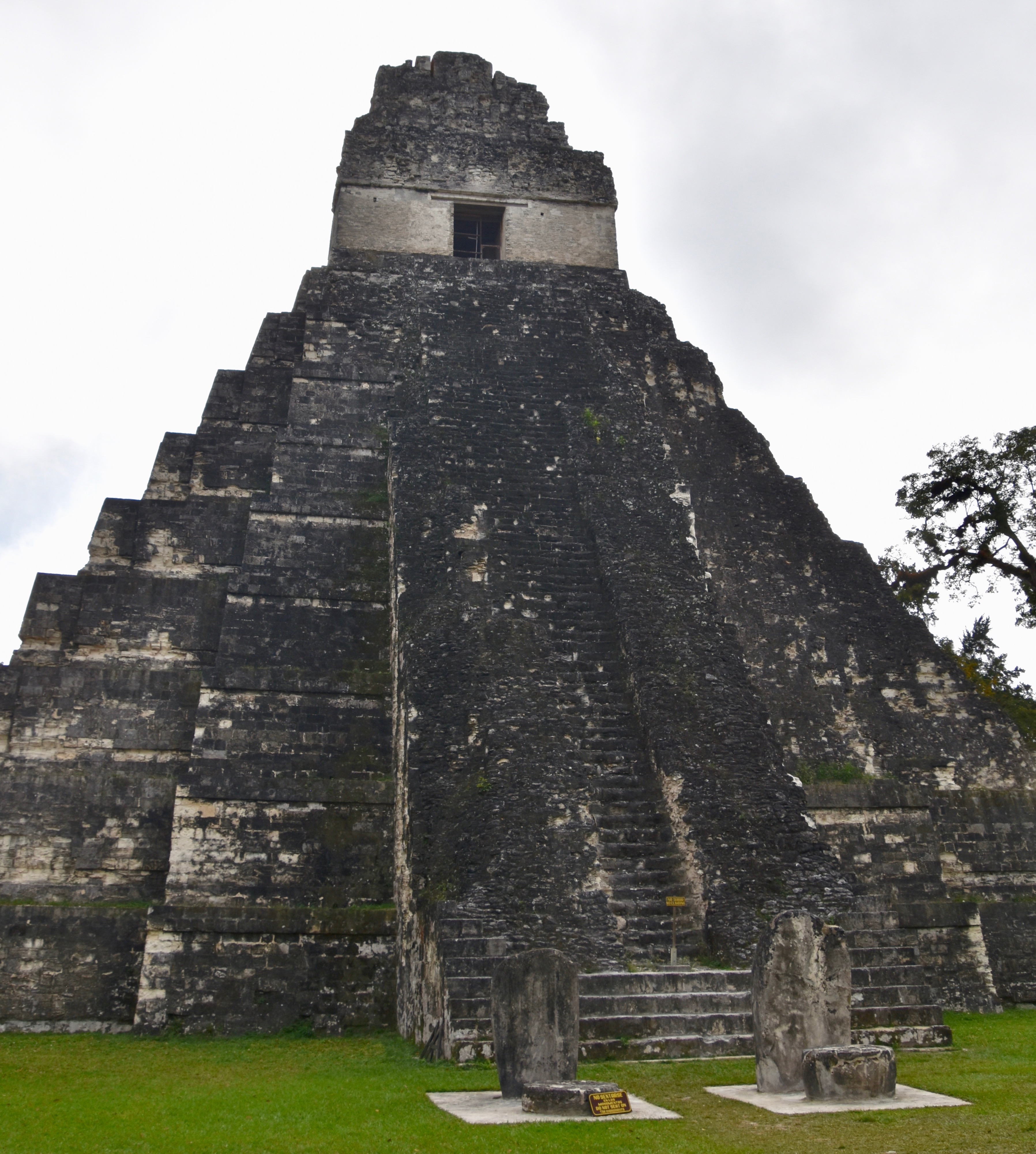
All told we climbed four pyramids at Tikal ending with the most formidable one of all, Mundo Perdido which just looks foreboding.
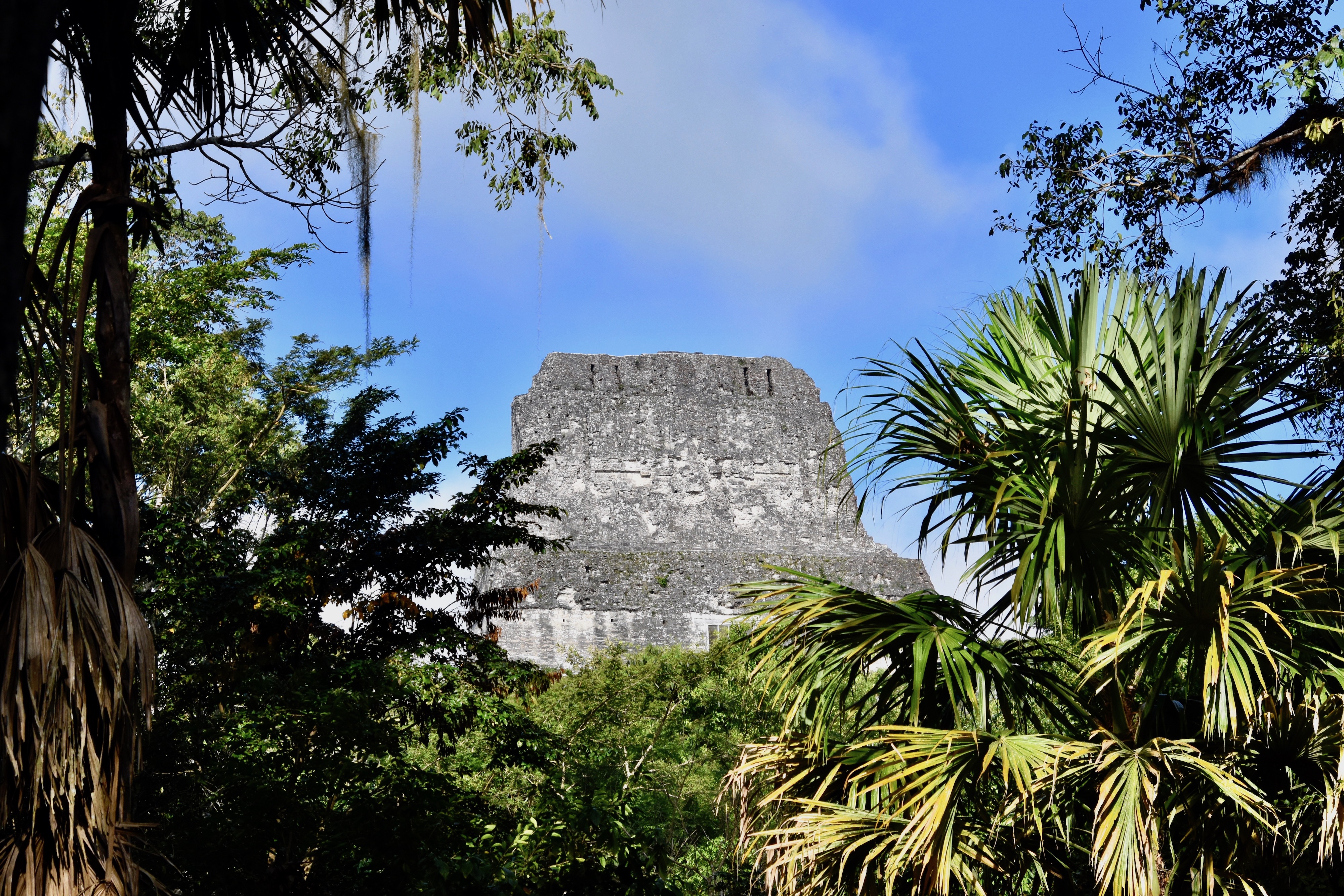
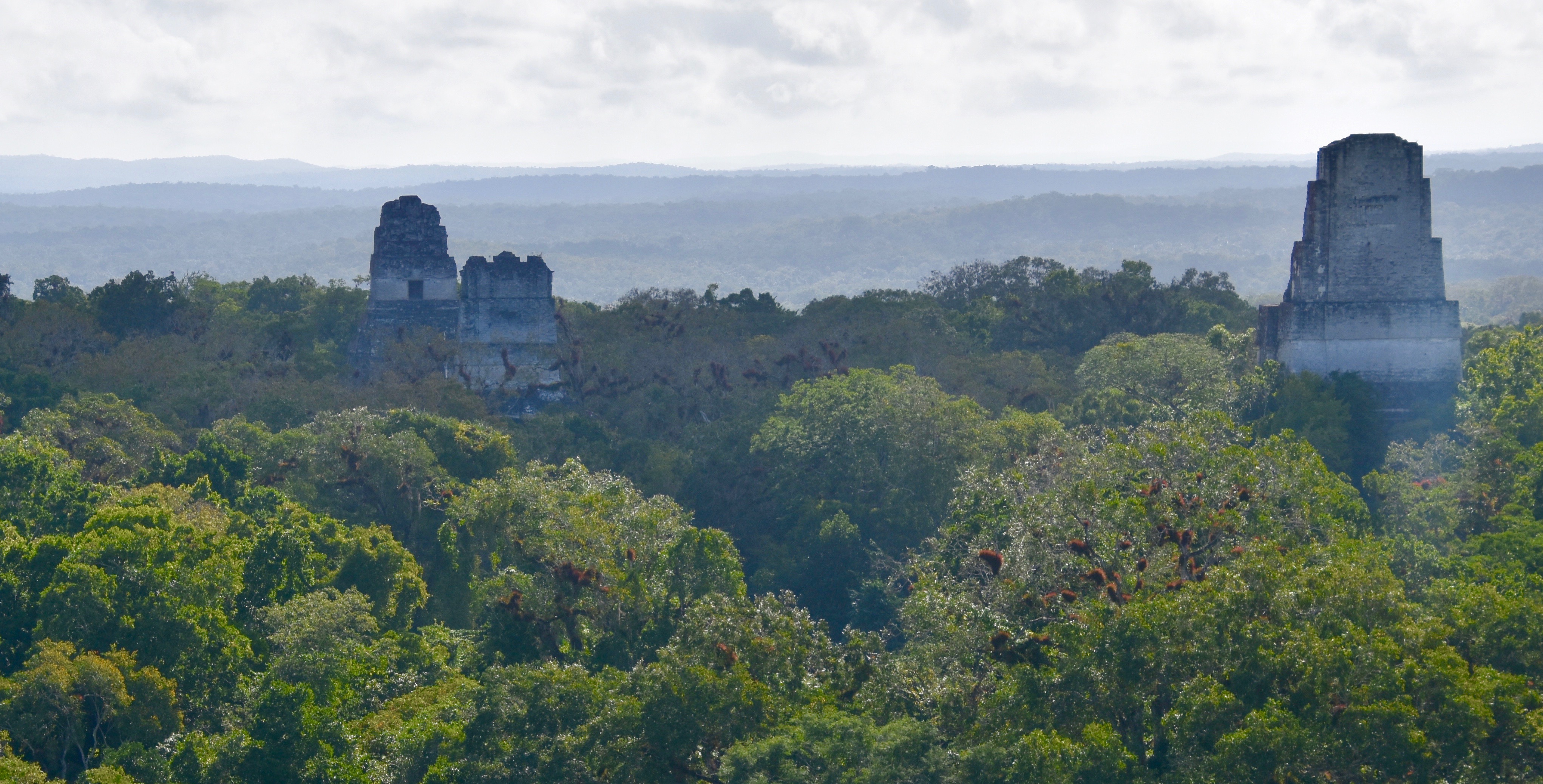
We had already been on site for over four hours and the temperature was now well into the high 90’s (35 C), but as tired as we were by the time we reached the base of Mundo Perdido there was no way we weren’t going to the top. The view of the other great pyramids of Tikal from Mundo Perdido is one I will never forget and once again seared in my memory the image of a great city swallowed up by the jungle.
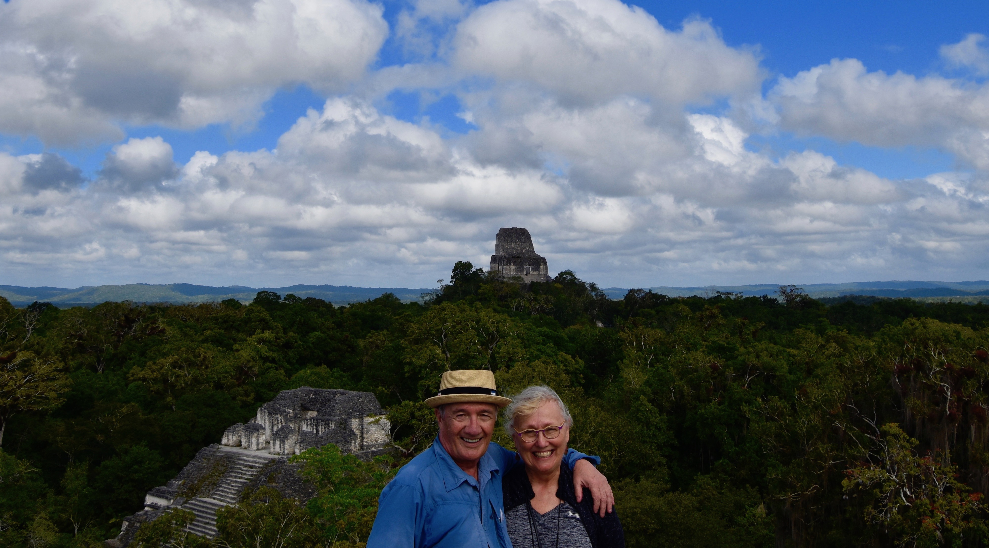
And of course, getting your photo taken up here was mandatory.
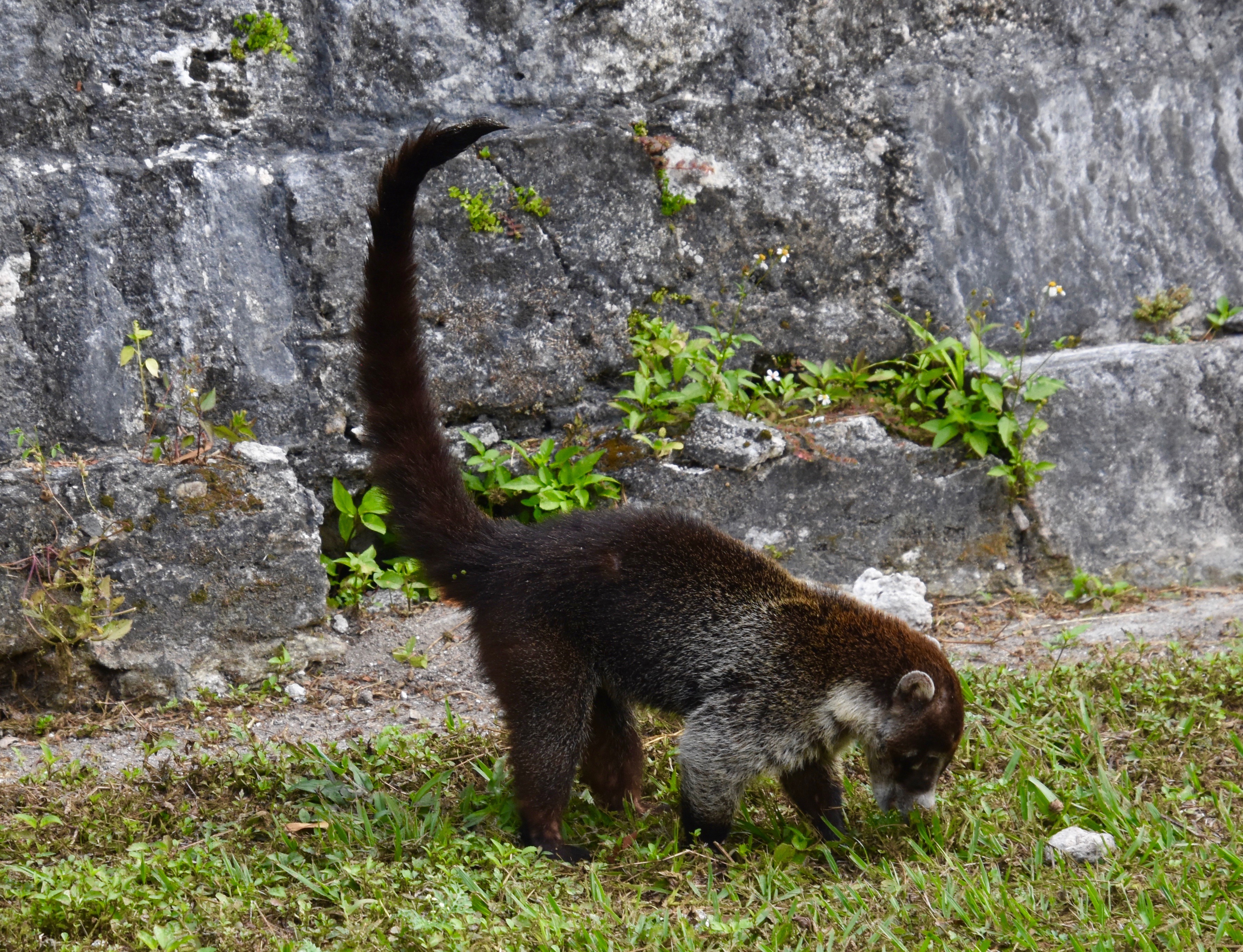
Luis had been promising us a late lunch on site for some time and by the time we reached the base of the pyramid, knees now aching like hell, I was exhausted, thirsty and hungry. This coati mundi was not waiting for his lunch, but digging it up on the spot.
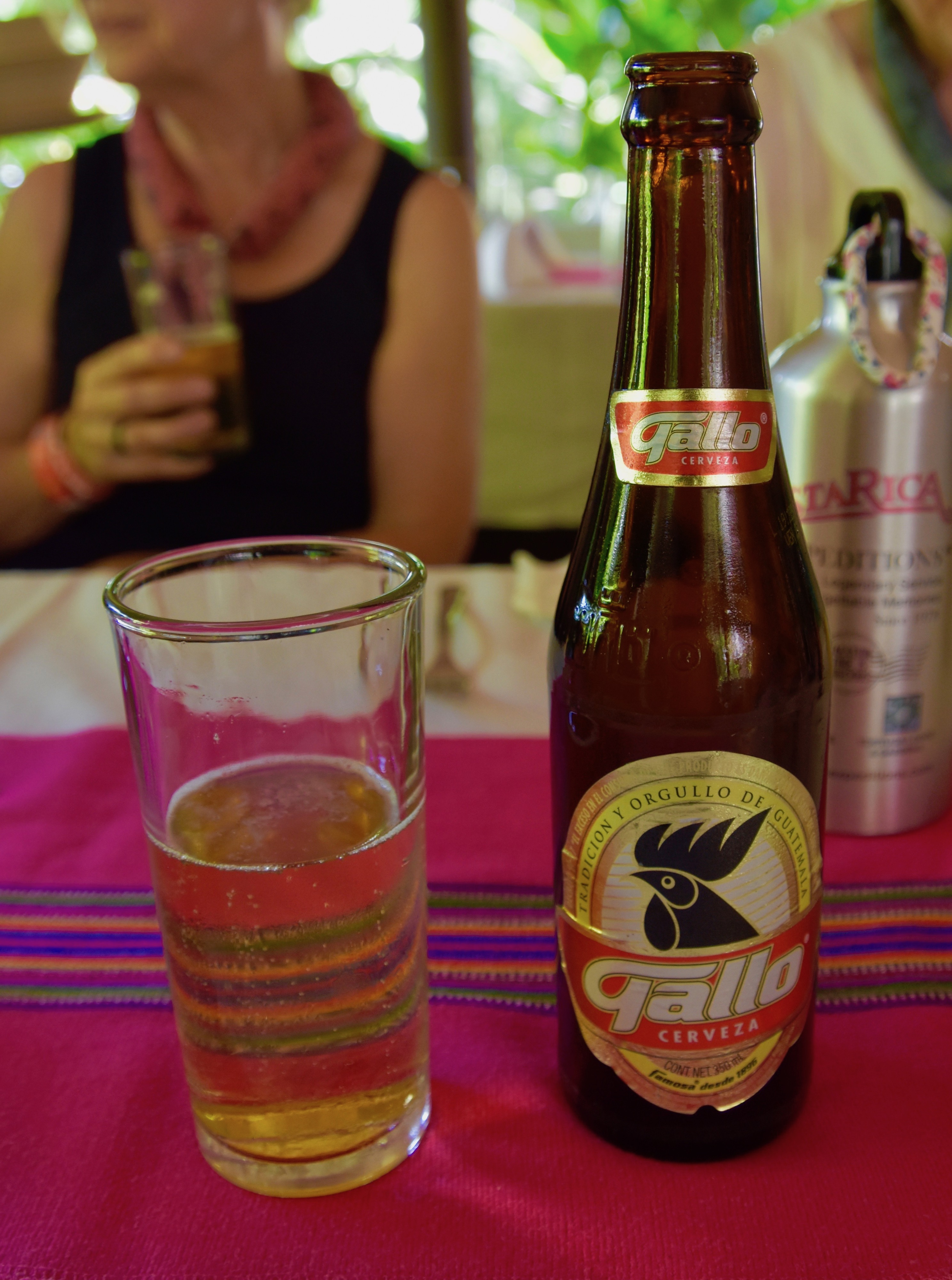
Never has a beer been more welcomed than on that mid-afternoon in Tikal.
As we were leaving the site we ran into the group of Koreans who had been on the plane the night before. They were just starting their tour at the hottest part of the day. Once again I thanked Victor for using his experience to make sure we didn’t end up doing something stupid like that.
In summary, Tikal is one of the greatest archaeological sites on the planet and well worth the effort it takes to get here.
Tomorrow we are off for a land crossing into our final country on this amazing journey, Belize. I hope to see you there.

